



The Challenge of Predicting Floods
Floods are one of the most common and costly natural disasters in India and worldwide. For decades, forecasting has relied on a network of ground-based river gauges, which measure water levels at specific points. While vital, this system has significant
gaps. Many rivers, especially in remote or rural areas, are not monitored at all. Gauges provide data for a single location, but can't see what's happening along the entire length of a river system, making it difficult to predict how a flood wave will travel downstream or where banks will overflow. This limitation can mean shorter warning times and less precise information for communities in harm's way.
A New Generation of Eyes in the Sky
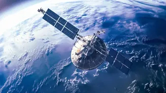
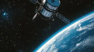
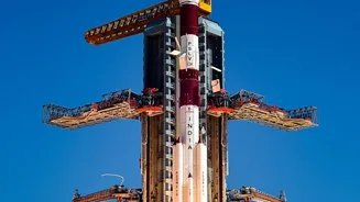
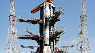
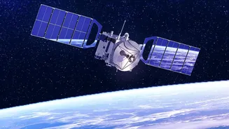
This is where Earth-observation (EO) satellites come in, offering a transformative approach to hydrology. Missions like the joint NASA-French SWOT (Surface Water and Ocean Topography) satellite are game-changers. Unlike previous satellites that could only measure water levels along a narrow track, SWOT uses advanced radar technology to scan the Earth's surface in wide swathes, capturing high-detail 2D measurements of water surface elevation. Closer to home, the Indian Space Research Organisation (ISRO) is a key player. Its Disaster Management Support Programme uses a variety of satellites to monitor hazards, and the recently launched EOS-08 satellite is equipped with technology specifically to aid in flood detection. The joint NASA-ISRO mission, NISAR, will also provide all-weather, day-and-night imaging that can penetrate clouds to track changes in water levels, even in remote areas.
How Satellite Data Creates Better Forecasts
These satellites don't just take pictures; they gather a wealth of data that was previously impossible to obtain on a global scale. They can measure not only the height of water in rivers, lakes, and reservoirs, but also their width and slope. This allows scientists to calculate the volume and flow of water with unprecedented accuracy. This raw data is then fed into sophisticated hydrological models. By combining satellite observations of water levels with data on precipitation, soil moisture, and topography, these computer models can simulate how a river system will respond to heavy rainfall. This integration provides a much more complete picture, enabling forecasters to predict when and where flooding will occur with greater precision and, crucially, with more lead time.
From Data to Actionable Warnings
More accurate, longer-lead-time forecasts can save lives and livelihoods. Getting warnings out hours or even days earlier gives families more time to evacuate to safety. It allows disaster response teams to pre-position resources like boats, food, and medical supplies in the areas most likely to be affected. Farmers can take action to protect livestock, and authorities can make informed decisions about managing reservoir levels or closing critical infrastructure like roads and bridges. Recently in India, states like Andhra Pradesh have begun implementing AI-driven platforms that use satellite terrain mapping and hydrological data to provide highly localised urban flood warnings up to 48 hours in advance. These systems can identify specific neighbourhoods and even drainage channels at risk, turning broad forecasts into actionable intelligence.
The Road Ahead
Despite the immense potential, challenges remain. Processing the vast amounts of data from satellites can be complex, and some satellite sensors can be hampered by heavy cloud cover. Integrating this new data with existing ground-based systems requires investment and technical expertise. However, the field is advancing rapidly, with machine learning and cloud computing helping to speed up analysis. The future of flood management will likely involve a hybrid approach, combining the broad view from space with essential on-the-ground measurements and community knowledge. As more advanced satellites are launched and data processing becomes faster, this eye in the sky will become an ever more vital tool in our efforts to build resilience against a changing climate.