




What is the Valmikinagar Barrage?
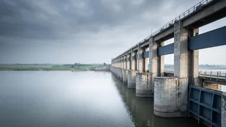
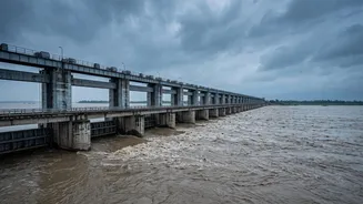
The Valmikinagar Barrage, also known as the Gandak Barrage, is a crucial water regulation structure located on the Gandak river in Bihar's West Champaran district, right at the India-Nepal border. Built in the 1960s as part of an agreement between India and Nepal,
its primary purposes are to provide water for irrigation to parts of Bihar, Uttar Pradesh, and Nepal, and to control the flow of the river to mitigate flooding downstream. The Gandak, called the Narayani in Nepal, is a major river system that originates in the Himalayas and flows through Nepal into India. The barrage, with its 36 gates, is designed to manage the massive volume of water, especially during the monsoon season, making it a vital piece of infrastructure for North Bihar.
The Cross-Border Connection: Why Nepal's Weather Matters
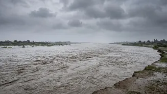
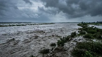
North Bihar's geography makes it uniquely vulnerable to weather events in Nepal. Several major rivers, including the Gandak and Kosi, originate in the steep, geologically young Himalayas before flowing down into the flat plains of Bihar. A significant portion of the Gandak's catchment area lies in Nepal and Tibet. Consequently, heavy rainfall or, in this recent case, a suspected glacial lake outburst flood in Nepal's upper reaches, leads to a rapid surge of water downstream. This torrent of water travels through the Bhote Koshi and Trishuli rivers in Nepal, converging into the Narayani which then flows directly towards the Valmikinagar Barrage in Bihar, where it is known as the Gandak. This direct link means any major water event in Nepal becomes an imminent flood threat for Bihar within hours.
The Current High Alert
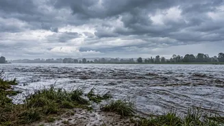
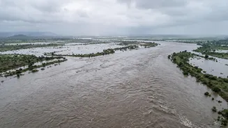
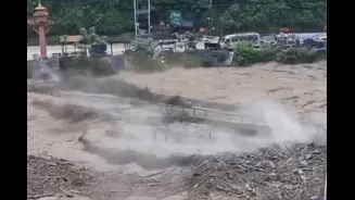
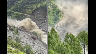
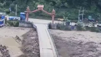
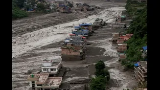
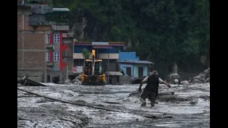
The recent alert was triggered by devastating flash floods in Nepal that originated from the Tibetan side, causing widespread destruction. This event sent a massive surge of water into the river system. In response, authorities in Bihar took immediate action. All 36 gates of the Valmikinagar Barrage were opened to allow the safe passage of the excess water and prevent dangerous pressure from building up. On Wednesday, the discharge from the barrage peaked at around 1.50 lakh cusecs. While significant, officials noted this was less than the highest discharge recorded earlier this year (2.24 lakh cusecs) and much lower than the 5.625 lakh cusecs seen in 2024. Still, the administration put several districts on high alert, including West Champaran, East Champaran, Gopalganj, Muzaffarpur, Saran, and Vaishali. NDRF teams were deployed, and continuous monitoring of embankments and low-lying areas was initiated.
A History of Fragility and Cooperation
The threat of floods from the Gandak is an annual concern for Bihar, a state where over 70% of the land is flood-prone. The relationship between the two countries concerning water management is governed by the Gandak Agreement of 1959. This treaty facilitates the operation of the barrage, which is managed by Indian engineers, and includes clauses on water sharing for irrigation and power. While essential, the system of embankments and barrages has always been a double-edged sword. It offers protection but can be catastrophic if breached, as seen in the infamous 2008 Kosi flood. The current situation highlights the critical need for constant vigilance and seamless cross-border communication. Engineers from both India and Nepal coordinate on data sharing, especially during the monsoon, to forecast water flow and manage the barrage gates effectively. This cooperation is fundamental to protecting the lives and livelihoods of millions living in the Gandak basin.