


Current Monsoon Hotspots
Recent weeks have seen significant monsoon activity across several northeastern states. Flash floods and landslides have been reported in Arunachal Pradesh and Assam, impacting thousands of residents and causing extensive damage to infrastructure. In
late June, relentless rainfall led to flash floods in at least 12 districts of Arunachal Pradesh. Assam, particularly Dhemaji district, has also faced the first major flood wave of the season, with thousands affected and large tracts of agricultural land submerged. Key infrastructure, including a railway bridge over the Simen River in Dhemaji, suffered a partial collapse, leading to the suspension of train services. Similar disruptions have occurred in Sikkim, where a bridge in the Dzongu region was washed away, and Meghalaya has also seen landslides affect transport. Authorities in Nagaland have issued warnings for potential flash floods and landslides as well. The India Meteorological Department (IMD) has issued alerts for heavy rainfall across the region, advising caution.
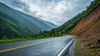
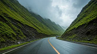
Major Routes Requiring Caution
Landslides and flooding pose a serious risk to several key arteries for travellers. Authorities have urged people to avoid unnecessary travel in the hardest-hit areas of Arunachal Pradesh. The main highway to Sikkim, National Highway 10, is notoriously prone to blockades from landslides during the monsoon. Likewise, popular tourist circuits in Meghalaya, including roads leading to Cherrapunji and Dawki, require careful monitoring due to the risk of washouts and slippery conditions. In Assam, the rising waters of the Brahmaputra and its tributaries have worsened the flood situation, threatening road connectivity in low-lying areas and near riverbanks. Even in Himachal Pradesh, another Himalayan state, the strategic Manali-Leh highway has faced closures due to flash floods, highlighting a common issue across India's mountainous regions during this season.
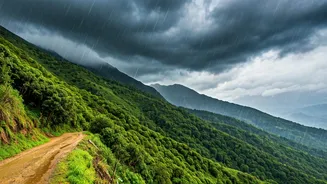
Planning Your Backup Strategy
Given the unpredictability, flexibility is your most important travel companion. The primary rule is to never attempt to cross a road that is flooded or blocked by a landslide. The best backup route is often the one that involves waiting for authorities to clear the main road. However, some regions offer alternatives. For instance, when travelling between Darjeeling and Gangtok, alternative routes via Lava or Alagarah can sometimes be used if NH-10 is compromised, though these smaller roads require an experienced local driver. In many cases, especially for remote destinations like North Sikkim or parts of Arunachal Pradesh, a road closure may mean there is no viable detour. The only safe option is to stay put or turn back. Always have a buffer of one or two days in your travel plan to accommodate such delays without pressure.
Essential Pre-Travel Checklist
Before you even pack your bags, due diligence is critical. Constantly monitor updates from the India Meteorological Department (IMD) for rainfall predictions. Follow state-specific disaster management authority websites and social media handles for real-time road status updates. Inform your hotel or local contact about your travel schedule and keep them updated. Pack a waterproof bag for electronics, a first-aid kit, a powerful torch, a power bank, and some non-perishable snacks and water. Download offline maps of the region, as mobile connectivity can be unreliable in remote and disaster-affected areas. Share your detailed itinerary with family or friends back home and establish regular check-in times.
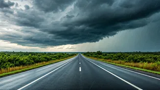
On-the-Road Safety Protocols
If you are already travelling, prioritize safety above all else. Hire experienced local drivers who understand the terrain and its monsoon behaviour. Be vigilant for warning signs of landslides, such as small trickles of mud, rocks, or leaning trees. If caught in heavy rain, find a safe place to pull over and wait for the intensity to reduce; do not park near steep slopes or water channels. Keep emergency contact numbers for the National and State Disaster Response Force (NDRF/SDRF) and local police handy. Adhere to any and all instructions and warnings issued by local authorities; they have the most accurate information about ground conditions.