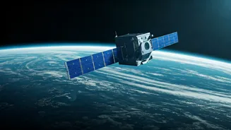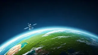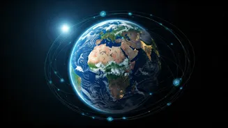


More Than Just Weather Pictures
For decades, we’ve associated satellites with the weather report—cloud patterns swirling over the Bay of Bengal or the path of an approaching cyclone. While that remains crucial, today’s Earth-observation satellites are vastly more sophisticated. Think
of them less as cameras and more as advanced scientific laboratories in orbit. Equipped with sensors that can see across the electromagnetic spectrum, they measure things invisible to the human eye. They can detect the chemical composition of the air, measure the precise height of the sea down to the millimetre, and even gauge the moisture content in soil from hundreds of kilometres up. This leap in technology has moved us from simply observing the climate to diagnosing it in detail.
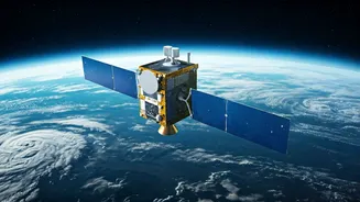
Tracking the Invisible Culprits
One of the most significant breakthroughs is the ability to pinpoint greenhouse gas emissions. Gases like carbon dioxide (CO2) and methane are the primary drivers of global warming, but tracking their sources has been notoriously difficult. Now, satellites like the European Space Agency’s (ESA) Sentinel-5P can map pollutants and identify methane hotspots with astonishing accuracy. This means we can differentiate between emissions from agriculture, a landfill, or a leaking natural gas pipeline. This capability is a game-changer for accountability. Countries and companies can no longer hide their emissions; the evidence is circling right above them. This data empowers policymakers to enforce regulations and provides a clear, unbiased picture of who needs to take action.
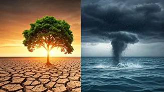
A Real-Time View of a Changing Planet
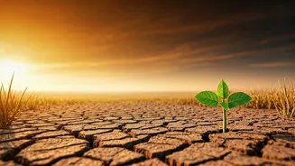
The effects of climate change are often described as slow-moving, but satellites show them happening in near real-time. Scientists can now monitor the melting of Himalayan glaciers, a critical water source for over a billion people in Asia, including India. By comparing images and radar data over time, they can calculate the exact volume of ice being lost each year. Similarly, satellites equipped with radar altimeters, like the Sentinel-6, measure sea-level rise with incredible precision. They help us understand not just how much the oceans are rising, but also where the impacts will be most severe. This data is vital for coastal cities like Mumbai and Chennai to plan for the future, build defences, and protect vulnerable communities.
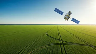
The Indian Lens from Orbit
India, through the Indian Space Research Organisation (ISRO), is a major player in this global effort. ISRO’s fleet of Earth-observation satellites, including the Resourcesat, Cartosat, and RISAT series, provides crucial data tailored to the subcontinent's unique challenges. For instance, satellite imagery helps monitor the health of crops, predict yields, and manage water resources for agriculture—a sector that employs nearly half the country’s workforce. This data is instrumental in drought management and assessing soil health. Furthermore, ISRO's INSAT-3D and 3DR satellites are the backbone of India’s weather forecasting and cyclone warning systems, saving countless lives by providing timely and accurate alerts for extreme weather events that are becoming more frequent due to climate change.
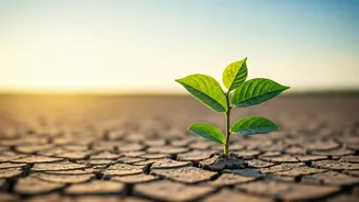
From Raw Data to Concrete Action
Ultimately, the power of these satellites lies not just in the images they capture but in the data they provide. This firehose of information feeds into sophisticated climate models, making them more accurate than ever before. Better models lead to better predictions, allowing governments to anticipate climate impacts with greater certainty. The data also supports international agreements by providing a neutral, fact-based system for monitoring national commitments to reduce emissions. For activists and watchdogs, satellite data offers undeniable proof of environmental damage, from illegal deforestation in the Amazon to unauthorised industrial pollution. This transparency is creating a new era of environmental governance, driven by data, not just diplomacy.