




India’s Eyes in the Sky
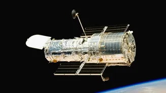
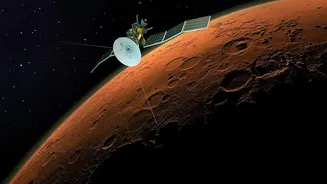
High above the Earth, a fleet of Indian satellites keeps a constant vigil, forming the backbone of the country's disaster management and agricultural planning. The Indian Space Research Organisation (ISRO) operates several series of satellites, each with
a specific purpose. The INSAT (Indian National Satellite System) series, for instance, provides meteorological data, broadcasting, and search and rescue operations. These are complemented by Earth observation satellites like the RISAT (Radar Imaging Satellite) series, which can see through clouds and darkness, making them invaluable for monitoring floods and cyclones regardless of weather conditions. Data from these satellites is processed and disseminated by various agencies, including the India Meteorological Department (IMD) and the National Remote Sensing Centre (NRSC), turning raw information into actionable intelligence that saves lives and livelihoods.
Taming the Torrents with Timely Warnings
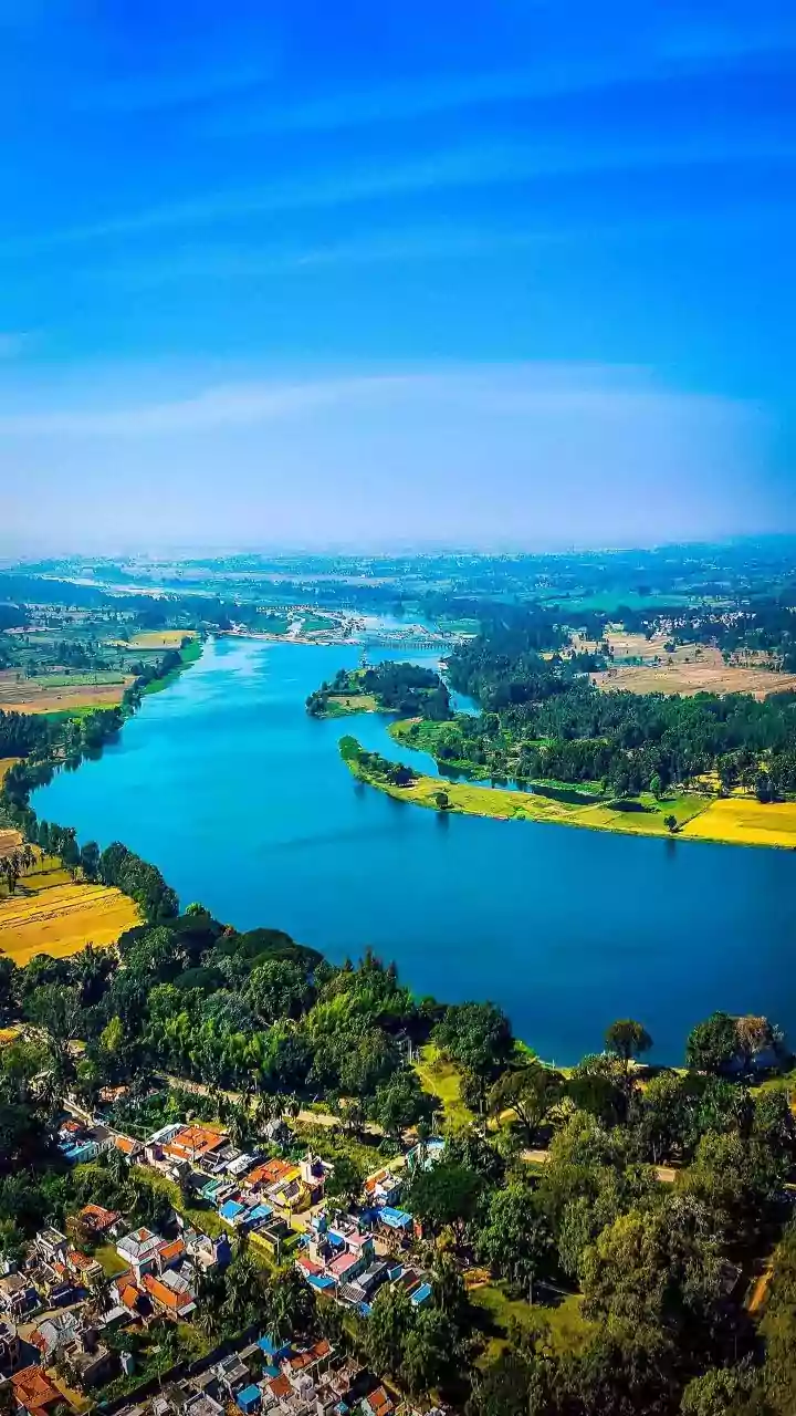
Floods are one of India's most frequent and devastating natural disasters. Satellite technology has revolutionised how authorities prepare for and respond to them. Satellites provide comprehensive data on rainfall intensity, cloud cover, and river water levels. This allows the IMD to issue more accurate and timely flood forecasts. During a flood event, satellites from the NRSC map the extent of the inundation in near real-time. This spatial information is critical for disaster response teams to identify the worst-affected areas, plan evacuation routes, and deliver aid efficiently. Historical data collected over decades has also enabled ISRO and the NRSC to create detailed Flood Hazard Atlases, which map out flood-prone zones across the country. These maps are essential for long-term planning, helping policymakers regulate construction in high-risk areas and build more resilient infrastructure.
A Digital Revolution for the Indian Farmer
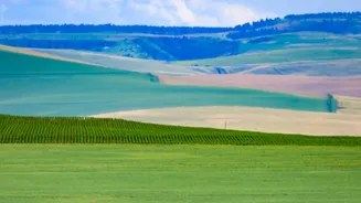
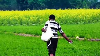
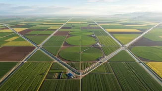
Beyond disaster management, satellites are quietly transforming Indian agriculture. Through government programmes like FASAL (Forecasting Agricultural output using Space, Agro-meteorology and Land-based observations), satellite data is used to forecast crop yields at national and district levels. This information is vital for managing food security and stabilising market prices. Satellites monitor crop health by analysing how fields reflect light; healthy vegetation appears different from stressed or diseased crops. This allows for early detection of pest attacks or water shortages. Furthermore, by combining satellite imagery with weather data, a new generation of AgriTech apps provides farmers with precise advice on when to sow, irrigate, and apply fertiliser. This data-driven approach helps optimise the use of resources like water and reduces costs, boosting farmers' incomes and promoting sustainable practices.
From Insurance Claims to Future Proofing
The applications of satellite technology extend even further. Under the Pradhan Mantri Fasal Bima Yojana (PMFBY), satellite data is used to assess crop damage after a natural calamity, speeding up insurance claim settlements for affected farmers. This space-based verification helps reduce fraud and ensures that compensation reaches those who need it most, quickly. As climate change continues to increase the frequency of extreme events, from floods and cyclones to droughts and landslides, the role of this orbital infrastructure will only grow. ISRO continues to launch more advanced meteorological satellites, like the recent INSAT-3DS, to enhance monitoring capabilities and provide even higher resolution data for weather and climate studies.