



A Landmark Partnership in Orbit
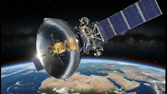
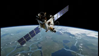
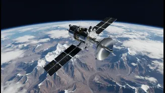
NISAR, which stands for NASA-ISRO Synthetic Aperture Radar, is a monumental collaboration between the Indian Space Research Organisation (ISRO) and the U.S. National Aeronautics and Space Administration (NASA). Launched from India's Satish Dhawan Space Centre,
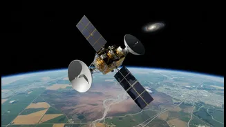
this Earth-observing satellite represents one of the most significant joint space ventures between the two nations. ISRO provided the satellite bus, the S-band radar system, and the GSLV launch vehicle, while NASA contributed the L-band radar system and other critical components. The mission is a response to the scientific community's call for more detailed data on Earth's land and ice surfaces. Estimated to be one of the most expensive Earth-imaging satellites ever built, its core purpose is to systematically map our planet, helping scientists and policymakers manage resources and respond to natural hazards.
Seeing the Unseen with Dual-Frequency Radar
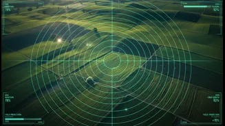
What truly sets NISAR apart is its advanced imaging technology. It is the first satellite mission to use two different radar frequencies—L-band and S-band—simultaneously. This dual-frequency Synthetic Aperture Radar (SAR) system acts like an all-weather, day-and-night eye in the sky. Radar signals can penetrate clouds, smoke, and darkness, providing a constant stream of data where optical satellites cannot. The two frequencies offer complementary views. The longer L-band wavelength, provided by NASA, can penetrate deeper through vegetation to measure things like soil moisture and the structure beneath a forest canopy. The shorter S-band wavelength, from ISRO, is excellent for monitoring agricultural crops and other surface features. Together, they will produce images of unprecedented detail, capable of detecting changes on the Earth's surface as small as a centimetre.
A Planet Under Constant Watch
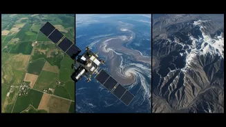
With its 12-day repeat orbit, NISAR will map nearly the entire land and ice surface of the globe multiple times a year. This rapid revisit time will create a time-lapse view of the planet, revealing slow-moving processes that were previously difficult to track on a global scale. Key scientific objectives include monitoring the dynamics of ice sheets and glaciers to better understand their contribution to sea-level rise. The mission will also track subtle ground movements, providing invaluable data for forecasting earthquakes, volcanic eruptions, and landslides. Furthermore, NISAR will keep a close eye on the health of global ecosystems by measuring forest biomass, tracking the expansion and contraction of wetlands, and monitoring agricultural lands.
Critical Data for India's Future
For India, the NISAR mission has direct and vital applications. ISRO specifically identified key areas where the satellite's data will be invaluable. This includes monitoring the Himalayan glaciers, which are a critical source of water for millions. The satellite's ability to measure changes in ice and snowpack will enhance water resource management. NISAR will also be instrumental in agricultural monitoring, helping to assess crop health and soil moisture across the country's vast farmlands. Additionally, the data will significantly improve disaster management capabilities, from tracking land subsidence and landslide-prone areas to providing rapid post-event imagery for cyclones and earthquakes.
An Open Book of Global Data
One of the most significant aspects of the NISAR mission is its commitment to open science. All data collected by the satellite, from both the L-band and S-band radars, will be made freely and openly available to the public within days of observation. In cases of emergencies and natural disasters, this turnaround time is expected to be just a few hours. This policy will empower scientists, governments, and application developers worldwide to use the rich dataset for countless purposes. By providing a comprehensive and detailed view of Earth's processes, NISAR is not just a scientific instrument; it's a global resource for understanding and protecting our changing world.