


The Geographic Domino Effect
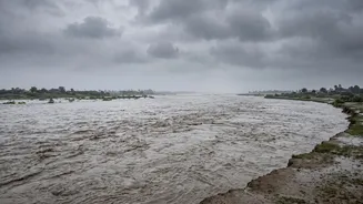
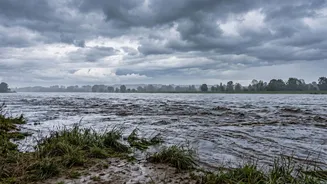
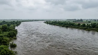
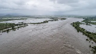
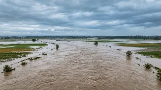
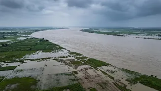
The annual monsoon is a familiar challenge, but the recent disaster in Nepal is a stark reminder of how quickly a crisis can cross borders. Heavy rainfall, combined with a suspected glacial lake outburst flood (GLOF) near the Nepal-China border, unleashed
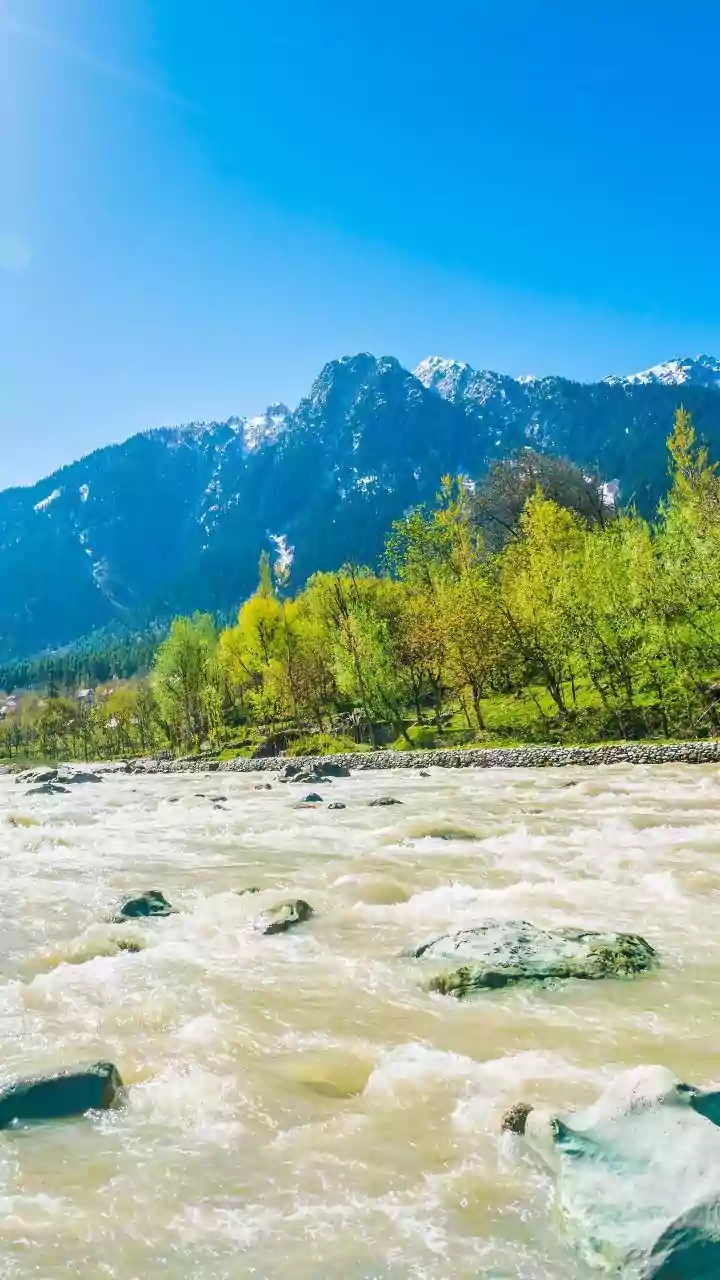
a torrent of water into the Bhote Koshi and Trishuli rivers. These river systems flow directly into India, feeding major rivers like the Gandak and Kosi, which wind through densely populated regions of Uttar Pradesh and Bihar. This geographical reality means a disaster hundreds of kilometres away can become an imminent threat to Indian villages in a matter of hours, making cross-border coordination and rapid domestic response absolutely critical.
An All-of-Government Alert System
The response began not with boats, but with information. The Central Water Commission (CWC) and other agencies are in constant communication, monitoring river discharge data from Nepal. This flow of information is the bedrock of the entire preparedness strategy. At the highest level, Union Home Minister Amit Shah has assured the chief ministers of both Bihar and UP of all necessary central support. This has triggered a top-down alert system, cascading from the state capitals of Patna and Lucknow down to the district and block levels. Bihar's Chief Secretary has held urgent meetings with District Magistrates (DMs) and police chiefs, cancelling leave for key engineering personnel responsible for embankment safety.
Boots on the Ground: NDRF and SDRF Mobilisation
The most visible part of the preparation involves the strategic positioning of specialised rescue teams. The National Disaster Response Force (NDRF) has been mobilised, with a total of 20 teams deployed across both states. In Bihar, nine teams are on the ground, with units dispatched to highly vulnerable districts in the Gandak basin like West Champaran and Muzaffarpur. In Uttar Pradesh, 11 NDRF teams are active, with an additional team moved to Kushinagar, a district directly in the path of the Gandak's flow. These teams are equipped for flood rescue operations with boats and other essential gear. They are supplemented by the State Disaster Response Force (SDRF) and the Sashastra Seema Bal (SSB), which has alerted its formations along the India-Nepal border.
Engineering and Evacuation at the Local Level
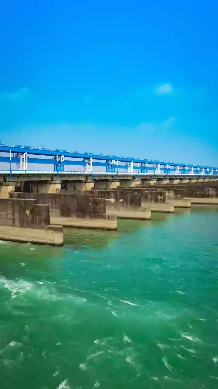
At the district level, the focus is on practical, immediate actions to mitigate damage and save lives. A critical first step was taken at the Valmikinagar barrage on the Gandak river, where all 36 gates were opened to allow the surge of water to pass through safely and prevent a dangerous buildup of pressure. District administrations have been instructed to identify and prepare evacuation routes and relief shelters. In the most at-risk villages, especially those in low-lying areas or near river embankments, public announcements are being made to urge residents to move to higher ground. In some panchayats in West Champaran, evacuations of vulnerable residents have already begun as a precautionary measure. The goal is to move people, particularly children and the elderly, before the situation becomes critical.