

A Check-Up From Orbit
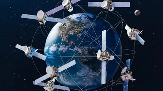
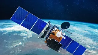
Think of it as a doctor's visit for a field. Satellites equipped with advanced sensors pass over farmland, capturing data that is invisible to the human eye. They don’t just take simple pictures; they measure how crops reflect different types of light,
particularly visible and near-infrared light. Healthy, lush vegetation absorbs most visible red light for photosynthesis while reflecting near-infrared light strongly. Stressed, diseased, or dehydrated plants do the opposite. This difference in light reflection, or 'spectral signature', is the key that unlocks a wealth of information about what’s happening on the ground long before a farmer might spot a problem.
Decoding the Language of Plant Health
Scientists and agronomists translate this light data into practical indices. The most common is the Normalised Difference Vegetation Index (NDVI). NDVI analysis turns complex spectral data into a simple, colour-coded map of a field, with values ranging from -1 to +1. Dense, thriving crops show up with high NDVI values (often shown as green), while areas with sparse vegetation or stressed plants have low values (often appearing as yellow or red). This allows a farmer to see, at a glance, which specific parts of their field are struggling. It can signal issues like nutrient deficiencies, water stress, pest infestations, or soil compaction. While NDVI can't identify the specific disease, it acts as a crucial early warning system.
Precision Farming in Practice
This data empowers a new approach called precision agriculture. Instead of treating an entire field uniformly, farmers can make targeted decisions. If a satellite map shows low moisture in one corner of a field, irrigation can be adjusted for just that zone, conserving water. If another section shows signs of nutrient deficiency, fertiliser can be applied precisely where needed, saving money and reducing environmental runoff. This level of detail helps optimise the use of water, fertilisers, and pesticides, leading to higher yields, lower costs, and more sustainable farming practices. Furthermore, by tracking crop growth over a season, satellites can even help in predicting yields, which is vital for planning, market stability, and food security.
The Indian Agricultural Revolution from Space
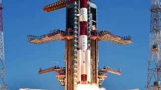
In India, where agriculture employs a vast portion of the population and many farms are small, this technology is a game-changer. The Indian Space Research Organisation (ISRO) has been a pioneer, developing a suite of satellites and programs to support farmers. Initiatives like FASAL (Forecasting Agricultural Output using Space, Agro-meteorology and Land-based Observations) and the Krishi-Decision Support System (Krishi-DSS) provide farmers with real-time data on everything from crop health to weather forecasts. This information helps in assessing drought conditions, managing water resources, and even speeding up crop insurance claims by verifying damage after natural disasters. Agri-tech startups are also playing a crucial role, translating complex satellite data into simple, actionable advice delivered to farmers through mobile apps.