






A Constant Watch From 36,000 Kilometres
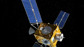
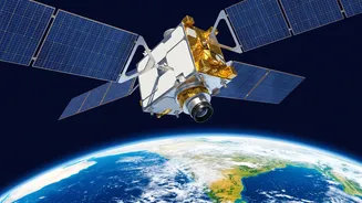
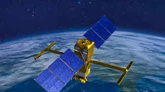
On September 4, 2026, the Indian Space Research Organisation (ISRO) successfully launched the EOS-05 satellite, the country's first imaging satellite placed in a geosynchronous orbit. Unlike its predecessors in Low Earth Orbit that pass over a location
periodically, EOS-05 stays fixed over the Indian subcontinent. At an altitude of approximately 36,000 kilometres, its speed matches the Earth's rotation. This unique positioning allows it to provide continuous, near real-time imagery of the entire country, a feature that is set to revolutionize disaster monitoring. Dubbed an 'eye in the sky' by scientists, this satellite acts as a persistent guardian, offering a constant stream of data when it's needed most.
The Power of Near Real-Time Imaging
The game-changing capability of EOS-05 lies in its speed and persistence. The satellite can image the entire Indian landmass roughly every 30 minutes. More critically, during a fast-developing crisis like a cyclone or flash flood, it can be directed to revisit a specific area of interest every five minutes. This rapid refresh rate transforms disaster monitoring from taking periodic snapshots to watching events unfold almost like a live feed. For agencies like the National Disaster Management Authority (NDMA), this means getting timely and continuous updates, which is crucial for making swift decisions about evacuations, resource deployment, and rescue operations.
A Crucial Tool for Cyclones and Floods
India is highly vulnerable to natural disasters, particularly cyclones and floods. In the past, satellites like the INSAT series have been vital for tracking cyclone paths and intensity. EOS-05 enhances this capability exponentially. Its ability to provide frequent imagery can help authorities track a cyclone's evolution and make more accurate landfall predictions. During and after a flood, the satellite's data can be used to generate near real-time inundation maps, clearly showing which areas are underwater. This information is invaluable for identifying stranded populations and planning safe access routes for relief teams, ultimately helping to save lives.
Beyond Storms: A Multipurpose Sentinel
While its role in managing major weather events is paramount, the applications of EOS-05 extend far beyond that. The satellite's advanced imaging systems can monitor the progression of droughts, the spread of forest fires, and even detect changes that might indicate a heightened risk of landslides. The data collected will also support a wide range of civilian applications, including assessing agricultural health, managing water resources, monitoring environmental changes, and urban planning. Furthermore, the satellite provides an added layer for strategic surveillance, allowing for high-level observation of the Indian subcontinent and its surrounding maritime areas.
Strengthening National Resilience
The launch of EOS-05 is more than just a technological achievement; it's a significant step towards building national resilience. By providing high-quality, frequent, and reliable data, the satellite empowers decision-makers at every level of government, from national agencies to state-level disaster response forces. This enhanced capability for monitoring and management strengthens India's ability to protect its citizens, mitigate economic losses, and recover more quickly from the impact of natural calamities. It's a key component in a broader strategy that leverages space technology as an integral tool for national development, safety, and security.