



From Ground Truth to a God's-Eye View
Not long ago, forecasting extreme monsoon rainfall was a difficult task. Meteorologists primarily relied on a network of ground-based weather stations and weather balloons. While essential, these tools provided a limited and often delayed picture of a rapidly
evolving atmosphere. They could tell you what was happening at a specific point on the ground, but struggled to capture the vast, dynamic systems brewing over the data-sparse oceans that fuel the monsoon. Predicting the sudden intensification of a low-pressure system into a deluge-dumping depression was fraught with uncertainty, leaving communities with little time to prepare for flash floods and landslides.
The Geostationary Sentinels
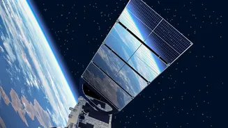
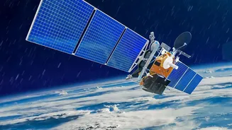
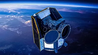
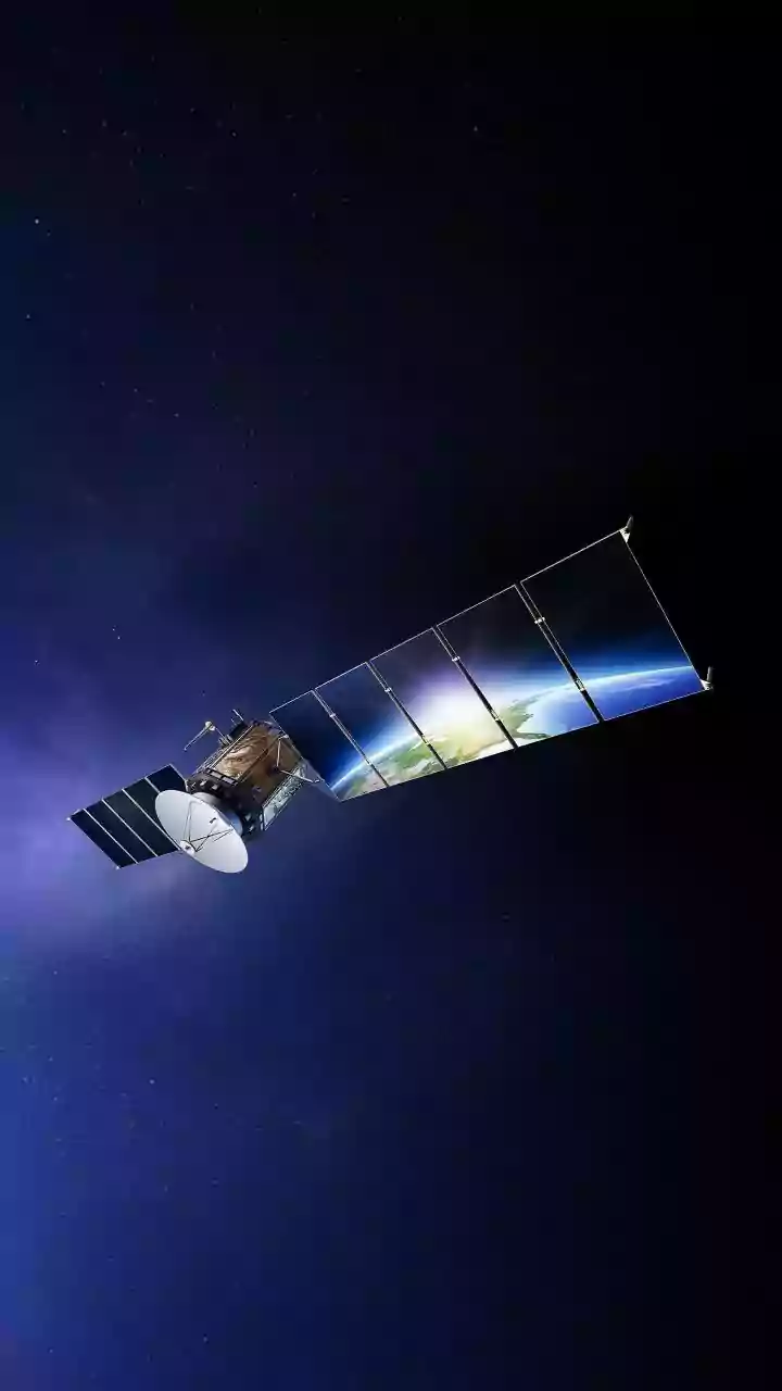
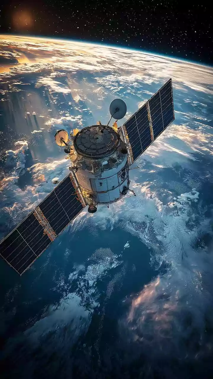
The game-changer has been India's investment in a sophisticated fleet of meteorological satellites, particularly the geostationary INSAT series (including INSAT-3D, -3DR, and -3DS). Positioned approximately 36,000 kilometres above the Earth, these satellites orbit in sync with our planet's rotation, allowing them to stare continuously at the Indian subcontinent and the surrounding oceans. Equipped with advanced imagers and sounders, they capture a constant stream of data every 15 to 30 minutes. These instruments measure crucial parameters like cloud top temperature, which helps identify powerful convective clouds likely to produce heavy rain, and atmospheric moisture content. This constant watch provides the India Meteorological Department (IMD) with an uninterrupted, real-time view of cloud formation, movement, and intensification, which is vital for 'nowcasting'—predicting weather for the immediate few hours.
Tracking the Monsoon's Ocean Engine
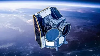
While geostationary satellites provide a constant, broad view, another class of satellites provides detailed information on the ocean's surface. Polar-orbiting satellites like the Oceansat series and ScatSat-1 fly much closer to Earth, scanning the globe in swathes. ScatSat-1, for instance, carried a scatterometer, an instrument specifically designed to measure the speed and direction of winds over the ocean surface. This data is incredibly valuable because the monsoon is fundamentally a system driven by the temperature and wind interactions between the land and the sea. By feeding accurate ocean surface wind data into weather models, forecasters can better predict the formation and trajectory of monsoon depressions and cyclones that originate over the Bay of Bengal and the Arabian Sea.
Seeing Through the Clouds
One of the biggest challenges during the monsoon is that the very clouds that bring the rain also block the view of what's happening on the ground for traditional optical satellites. This is where microwave remote sensing comes in. Satellites like ScatSat-1 use microwave instruments that can effectively 'see' through the cloud cover to detect surface conditions, such as large-scale flooding and soil moisture. This capability provides a dual benefit: not only can meteorologists forecast the heavy rain, but they can also monitor the real-world impact of that rain in near real-time, helping disaster management agencies understand which areas are inundated even when they are obscured by clouds.
Data into Actionable Warnings
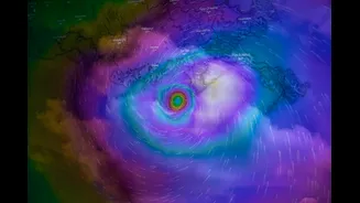
This torrent of satellite data—cloud motion vectors, temperature profiles, sea surface winds, and humidity—is useless on its own. Its true power is unlocked when it is fed into high-performance supercomputers. The IMD and other agencies like the National Centre for Medium Range Weather Forecasting (NCMRWF) run complex Numerical Weather Prediction (NWP) models that assimilate this satellite data. These models simulate the behaviour of the atmosphere, allowing forecasters to predict the intensity and location of heavy rainfall events with greater accuracy and longer lead times. The result is more specific, impact-based warnings that can alert a specific district to the threat of extreme rainfall days in advance, a significant improvement that directly translates into saving lives and property.