





1. Aiding the Annadata: Smarter Farming
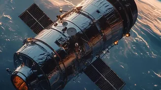
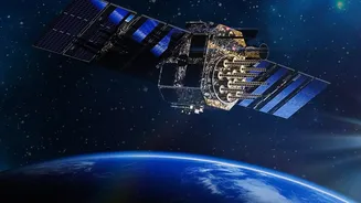
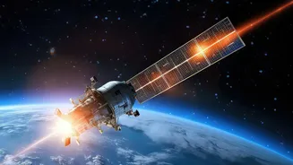
For India’s vast agricultural sector, space technology is a game-changer. Earth observation satellites like EOS-05 can provide invaluable data on crop health, soil moisture, and pest infestations. By using different types of imagery, including radar that
can see through clouds, agencies can generate detailed maps that help forecast crop yields with greater accuracy. This information, often distributed through programmes like ISRO's Krishi-Decision Support System, empowers farmers to use resources like water and fertiliser more efficiently, a practice known as precision agriculture. It also helps the government make better policy decisions regarding food security, procurement, and storage, ensuring stability from the farm to the dinner table. Better data means better harvests and more resilient farming communities.
2. Predicting Nature’s Fury: Disaster Management
India's geography makes it vulnerable to a host of natural disasters, from cyclones and floods to landslides and forest fires. A satellite like EOS-05, positioned in a high geosynchronous orbit, can provide near-continuous monitoring of a large area. This allows it to act as an early warning system. It can track the formation and movement of cyclones, map the extent of flood inundation in near real-time, and detect the start of forest fires before they rage out of control. This steady stream of data is crucial for disaster management agencies to issue timely evacuation warnings, plan rescue operations, and direct relief efforts to the worst-affected areas, ultimately saving lives and property.
3. Building Better Cities: Urban Planning
With India's urban population projected to grow rapidly, managing cities effectively is a monumental challenge. High-resolution satellite imagery offers a bird's-eye view that is indispensable for urban planners. By comparing images taken over time, officials can track urban sprawl, monitor the progress of critical infrastructure projects, and identify illegal construction or encroachment on green spaces and water bodies. This data is fundamental for revising master plans, ensuring that development is sustainable, and improving essential services like water supply, sanitation, and public transport for millions of residents. Essentially, satellites help build smarter, more organised, and liveable cities.
4. Managing a Precious Resource: Water Security
Water is one of India's most critical and stressed resources. Earth observation satellites play a vital role in its management. They can monitor the water levels in thousands of reservoirs and lakes across the country, track the extent of snow cover in the Himalayas to predict summer water flows, and even help locate underground water resources. This hydrological data is essential for planning irrigation schedules, managing drinking water supplies for cities and villages, and generating hydropower. In a country heavily dependent on the monsoon, having an accurate, large-scale picture of water availability is key to mitigating drought and ensuring long-term water security for all.
5. Guarding Forests and Borders: National Security
A satellite with the capabilities of EOS-05 also serves critical strategic purposes. Its powerful cameras can be used to monitor India’s vast forest cover, helping authorities detect illegal logging and track changes in biodiversity. Perhaps more importantly, its ability to provide constant surveillance over the Indian subcontinent makes it a vital asset for national security. From its high perch at 36,000 km, the satellite can keep a vigilant watch over remote border areas and maritime zones, providing crucial intelligence to the armed forces. While its civilian applications are extensive, this strategic dimension underscores the dual-use nature of modern space technology, making it an indispensable tool for protecting the nation's interests.