


A Groundbreaking Partnership in Orbit
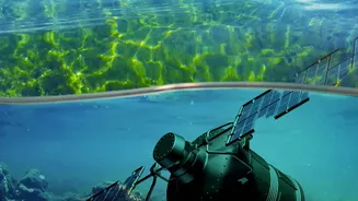
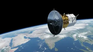
NISAR, which stands for NASA-ISRO Synthetic Aperture Radar, is a joint Earth-observing mission between the American and Indian space agencies. Launched in July 2025, this sophisticated satellite is equipped with advanced radar instruments designed to
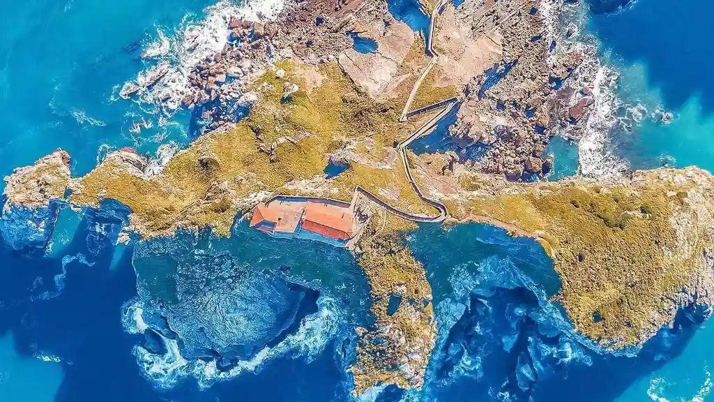
map our planet's surface in extraordinary detail. Its primary purpose is to monitor the subtle, and sometimes abrupt, changes in Earth’s land and ice. For India, a nation with a 7,500-kilometre coastline, the satellite's capabilities in monitoring coastal processes are a game-changer for science and public safety.
Seeing Through Clouds and Darkness
Unlike optical satellites that need clear skies and daylight, NISAR uses Synthetic Aperture Radar (SAR). SAR can pierce through clouds, fog, and darkness, making it exceptionally useful for a country like India, which experiences heavy monsoon seasons. The satellite carries two different radar frequencies, L-band and S-band, which work together to create highly detailed images of the Earth's surface. This dual-frequency capability allows scientists to measure changes in the landscape, such as land subsidence or coastal erosion, with centimetre-level accuracy.
The Power of a 12-Day Revisit Cycle
While the headline notes a "daily" release, the mechanism is more nuanced. NISAR orbits the entire globe every 12 days, meaning it revisits the exact same spot twice within that cycle. However, the satellite is constantly scanning different parts of the Earth, generating a massive and continuous stream of new images every single day. All of this data is made freely available to the public within one to two days of observation, and even faster during emergencies. This high frequency is revolutionary; previous missions might take weeks or months to provide similar data. This constant flow allows scientists to move from static snapshots to a near-real-time movie of how our coastlines are evolving.
Tracking Erosion, Mangroves, and More
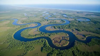
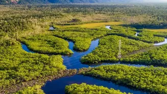
So, what can scientists actually see with this data? For coastal regions, the applications are immense. Researchers can precisely track shoreline changes, identifying areas prone to erosion. They can monitor the health and extent of natural buffers like mangrove forests, which are vital for protecting coastal communities from storm surges. The radar data helps in mapping the damage caused by cyclones, tracking how sediment moves and reshapes deltas, and even monitoring land subsidence in coastal cities. This detailed information is critical for understanding the complex dynamics that put coastal infrastructure and livelihoods at risk.
From Data to Decisions for India
The insights gained from NISAR are not just academic. They provide actionable intelligence for policymakers and disaster management agencies across India. By understanding which stretches of coast are most vulnerable, authorities can better plan and implement protective measures. The data supports everything from managing coastal resources to improving early warning systems for natural hazards. For a country where millions live and work along the coast, NISAR's ability to provide consistent, reliable, and high-resolution data translates directly into enhanced resilience against the impacts of climate change and sea-level rise.