




More Than Just Monsoon Rains
The annual monsoon, from June to September, is a period of high alert across Nepal. While typical flooding is a known hazard, a far more complex threat is gaining attention: floods triggered by events other than immediate rainfall. A catastrophic flash
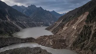
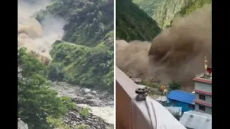
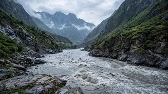
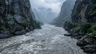
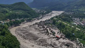
flood on August 26, 2026, in Nepal's Rasuwa district, which claimed over 160 lives, was not caused by local rain. Instead, initial assessments point to a massive ice and rock avalanche that blocked the Lhende Khola, a tributary of the Bhote Koshi river. This created a temporary, unstable dam. When this natural barrier failed, it released a sudden, devastating surge of water and debris downstream, hitting with the force of "liquid concrete". This highlights a terrifying reality: the biggest flood risks may not be announced by storm clouds, but by the very ground collapsing.
The Anatomy of a Landslide Dam
River blockages, often called landslide dams, form when huge volumes of rock, soil, and debris slide down steep Himalayan slopes and obstruct a river's flow. These landslides can be triggered by several factors, including intense rainfall that lubricates unstable soil, seismic activity, or as seen in the recent Rasuwa disaster, a high-altitude ice-rock avalanche. Once a river is blocked, water begins to accumulate upstream, forming a large, temporary lake. The danger is two-fold. First, the rising lake inundates villages and infrastructure upstream. The second, more catastrophic risk is the dam's eventual failure. These natural dams are inherently unstable and can breach without warning due to the immense pressure of the impounded water, unleashing a violent wall of water, mud, and boulders downstream that destroys everything in its path.
A Land of Unstable Giants
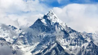
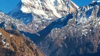
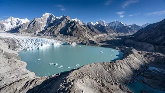
Nepal's geography makes it a global hotspot for this type of disaster. The Himalayas are young, geologically active mountains with some of the steepest terrains on Earth. This natural instability is being dangerously amplified by climate change. Scientists have observed that rising temperatures are melting glaciers at an accelerated rate, creating more glacial lakes and destabilizing the surrounding rock and ice. Studies indicate that the border region of Nepal and China could see a 30-70% increase in landslide activity due to more frequent extreme precipitation events. This means that even with forecasts for a weaker overall monsoon, short, intense bursts of rain can still trigger deadly landslides. The combination of steep slopes, seismic activity, and climate-driven changes has created a landscape primed for these cascading hazards.
The Race to Predict the Unpredictable
The August 26 disaster underscores a critical challenge: these events are nearly impossible to predict with conventional methods. Standard flood warnings rely on rainfall data, but landslide dam floods can occur on clear days. Following the recent flood, authorities have warned that another wave is possible, as a blockage remains lodged upstream on the Nepal-China border. Experts and international bodies like the International Centre for Integrated Mountain Development (ICIMOD) are using satellite imagery, seismic data, and remote sensing to evaluate the stability of such blockages. There is a growing push for more sophisticated early warning systems that can detect the seismic signatures of landslides or use river gauges to relay sudden changes in water levels in real-time, potentially giving downstream communities a vital, albeit brief, window to evacuate.