



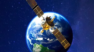
The Unblinking Eyes in the Sky
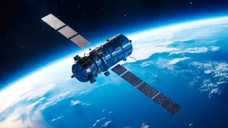
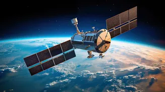
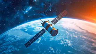
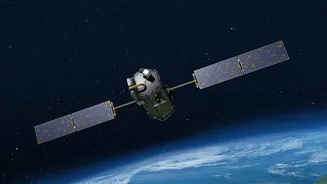
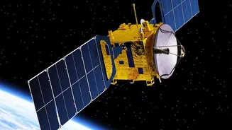
Hundreds of kilometres above Earth, a constellation of Indian satellites is constantly at work. This sophisticated network, a testament to the Indian Space Research Organisation's (ISRO) prowess, is the nation's frontline defence against natural calamities
and a key driver of its agricultural economy. Satellites in the Indian National Satellite (INSAT) and Indian Remote Sensing (IRS) series, among others, are designed for a range of crucial tasks. They form the backbone of a system that provides everything from daily weather updates to life-saving cyclone alerts and detailed agricultural analytics. These satellites are equipped with advanced sensors, imagers, and sounders that capture data across different spectrums, giving scientists a comprehensive view of the land, oceans, and atmosphere. This stream of information is processed and translated into actionable insights that benefit everyone, from a farmer in a remote village to disaster management authorities in New Delhi.
Revolutionising the Farm
For India’s vast agricultural sector, satellites are a game-changer. Through programmes like FASAL (Forecasting Agricultural output using Space, Agro-meteorology and Land-based observations), ISRO's satellites provide invaluable intelligence. They monitor crop health, assess soil moisture levels, and even estimate crop yields before the harvest. Using a combination of multispectral and microwave data, satellites can distinguish between different crops, map their acreage, and detect signs of stress from drought or pests. This allows for early and reliable production estimates for major crops like rice, wheat, and cotton across hundreds of districts. The information empowers policymakers to manage food security and farmers to make better decisions. Furthermore, satellite data plays a critical role in the Pradhan Mantri Fasal Bima Yojana (PMFBY), the government's crop insurance scheme, by helping to assess damage and process claims more efficiently and transparently.
Decoding the Clouds
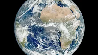
Understanding the weather, especially the temperamental Indian monsoon, is vital. This is where geostationary satellites like INSAT-3D and INSAT-3DR shine. Positioned at an altitude of about 36,000 kilometres, they orbit in sync with the Earth, allowing them to constantly monitor the Indian subcontinent. These satellites provide a continuous stream of images every 15 minutes, tracking cloud formation, movement, and temperature. Their atmospheric sounders measure temperature and humidity at different altitudes, creating a 3D picture of the atmosphere. This data is indispensable for the India Meteorological Department (IMD) to generate daily weather forecasts, predict rainfall patterns, and issue warnings for heavy rain or fog. The ability to watch weather systems develop in real-time is fundamental to the country's daily functioning and economic planning.
Taming the Storms
Perhaps the most dramatic and life-saving application of India's satellite programme is in cyclone management. The coastlines are vulnerable to powerful tropical storms that form over the Bay of Bengal and the Arabian Sea. In the past, these cyclones would cause catastrophic loss of life. Today, the story is vastly different. Satellites like INSAT-3D, INSAT-3DR, and the Oceansat series are the first line of detection. They spot the tell-tale signs of a brewing storm, its cyclonic circulation, and its intensity long before it poses a threat. As a cyclone develops, the satellites provide continuous updates on its track, wind speed, and structure, allowing the IMD to issue precise warnings with remarkable accuracy. This critical lead time enables disaster management agencies like the NDMA and NDRF to conduct mass evacuations, mobilise resources, and prepare coastal communities, drastically reducing casualties and demonstrating the immense humanitarian value of India’s space capabilities.