


A Boost for 'India's GPS'
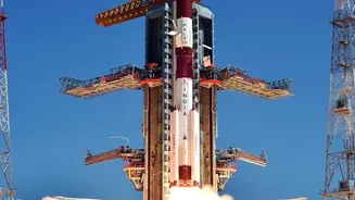
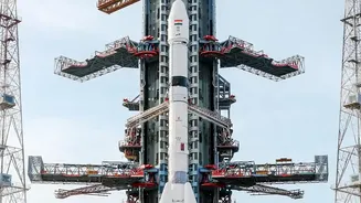
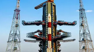
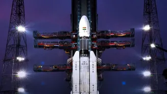
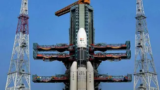
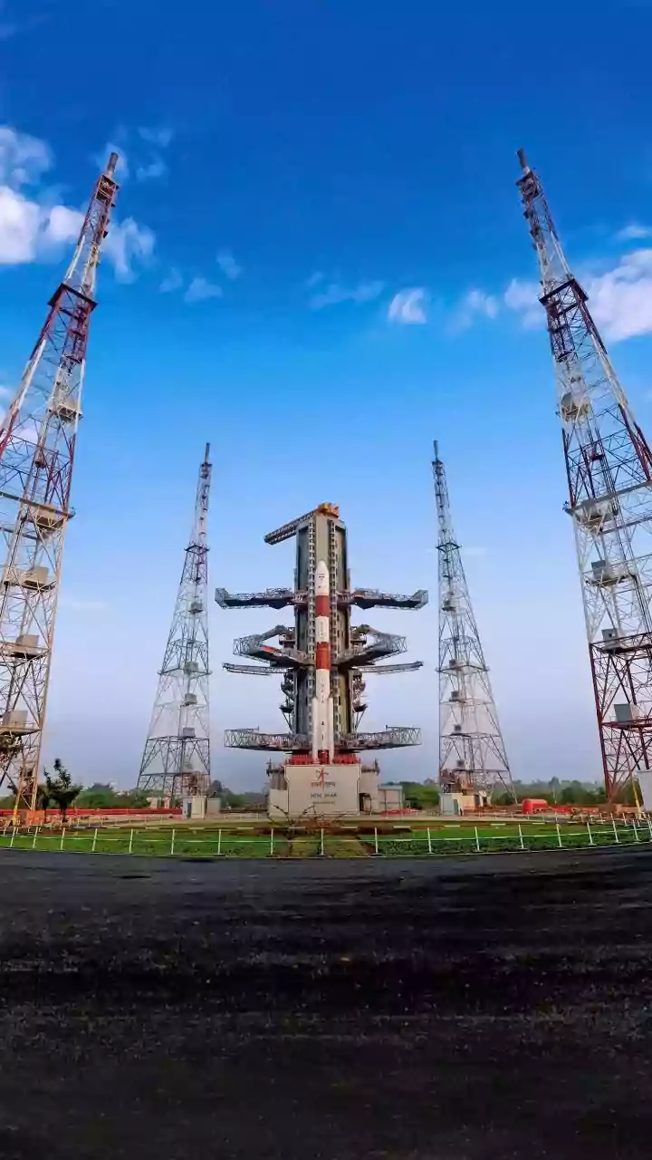
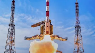
On October 30, 2026, the Indian Space Research Organisation (ISRO) successfully launched the NVS-03 navigation satellite aboard its powerful GSLV-F18 rocket from the Satish Dhawan Space Centre in Sriharikota. The satellite, weighing approximately 2,250
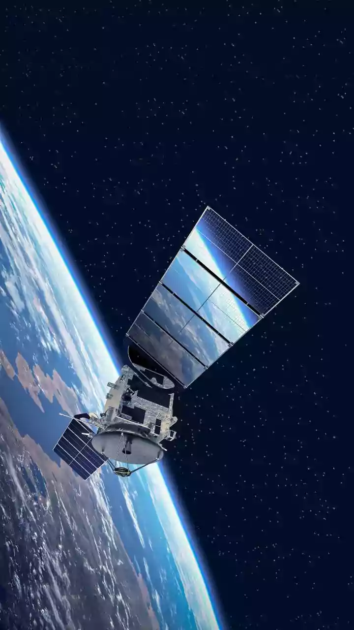
kg, was precisely injected into a Geosynchronous Transfer Orbit (GTO). This launch is a significant milestone for Navigation with Indian Constellation (NavIC), India’s independent regional navigation system. The primary goal of this mission is to ensure the continuity and enhancement of NavIC services, which had been operating with a reduced number of satellites. With NVS-03 now in orbit, the NavIC constellation is restored to its minimum operational requirement of four active satellites, a crucial step for providing standalone positioning services.
What Makes NVS-03 Special?
NVS-03 is the third satellite in a new, second generation of NavIC spacecraft, designed for a longer mission life of over 12 years and equipped with advanced technology. A key feature is the inclusion of an indigenously developed Rubidium atomic clock. These high-precision clocks are the heart of any navigation system, providing the extremely accurate timekeeping required to calculate a user's position. Failures of imported atomic clocks on earlier satellites had crippled the first-generation constellation, making this indigenous development a vital component of India's goal for self-reliance in space technology. Furthermore, NVS-03 introduces a new civilian broadcast signal in the L1 frequency band, which is widely used by commercial devices like smartphones. This addition aims to make it easier for the general public to access NavIC signals, increasing its adoption for civilian and commercial applications.
The Power of NavIC
NavIC was developed to reduce India's dependence on foreign navigation systems like the American GPS, Russia's GLONASS, or Europe's Galileo, especially for strategic and military operations. The system is designed to provide accurate real-time positioning and timing services across India and a region extending approximately 1,500 kilometres beyond its borders. It offers two services: the Standard Positioning Service (SPS) for all users and a Restricted Service (RS), which is an encrypted signal for authorised users like the armed forces. The system provides a position accuracy of better than 10-20 metres. Its applications are vast, spanning from terrestrial, aerial, and marine navigation to disaster management, vehicle tracking, fleet management, and precise timing for power grids and communication networks.
The GSLV_F18 Workhorse
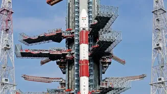
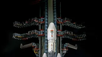
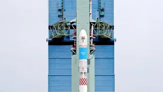
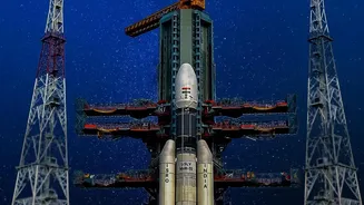
The successful deployment of NVS_03 was made possible by the Geosynchronous Satellite Launch Vehicle (GSLV_F18). This three_stage rocket stands about 50 metres tall and has a lift_off mass of around 420 tonnes. Its most critical component is the indigenously developed cryogenic upper stage, which uses liquid hydrogen and liquid oxygen as propellants to achieve the high thrust needed to place heavy satellites into GTO. This launch marked the 20th flight for the GSLV. The ability to launch satellites of this weight class is crucial for ISRO, as it allows India to be self_sufficient in deploying its communication and navigation satellites without relying on foreign launch providers.
The Strategic Imperative
The drive to create an independent navigation system was underscored during the 1999 Kargil War when India was reportedly denied access to GPS data for the region. This experience highlighted the strategic vulnerability of relying on foreign_controlled systems during times of conflict. Having a sovereign system like NavIC ensures that India has guaranteed access to crucial positioning, navigation, and timing (PNT) services for its defence forces, a critical component of modern warfare and national security. This autonomy is the core reason for NavIC's existence, ensuring that India's strategic operations are never compromised by the denial of service from another nation.