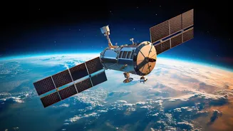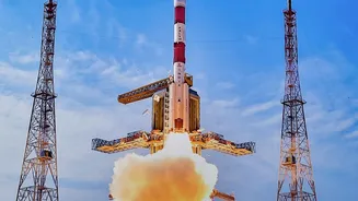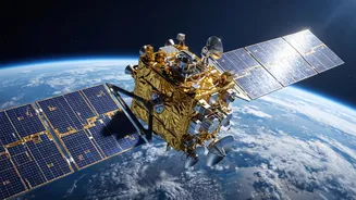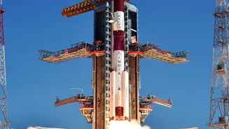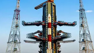

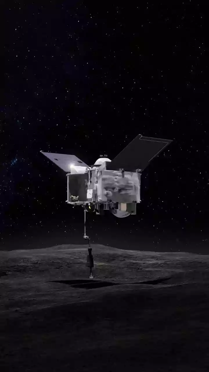


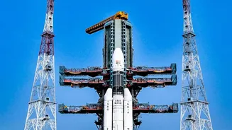
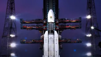
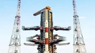
When you think of navigation, GPS is likely the first name that comes to mind. But India has its own 'desi GPS' called NavIC. With the recent launch of the NVS-03 satellite, this homegrown system is getting a significant upgrade.
What is NavIC?
NavIC, which stands for
Navigation with Indian Constellation, is India's autonomous regional satellite navigation system, developed by the Indian Space Research Organisation (ISRO). Initially known as the Indian Regional Navigation Satellite System (IRNSS), it was born out of the need for self-reliance in satellite navigation, a lesson underscored during the 1999 Kargil conflict when access to foreign GPS data was not guaranteed. NavIC is designed to provide accurate, real-time positioning and timing services across India and a region extending about 1,500 kilometres beyond its borders. The system offers two types of services: the Standard Positioning Service (SPS) for all civilian users and an encrypted Restricted Service (RS) for strategic and military use.
The Need for a New Generation
The original NavIC constellation, while a landmark achievement, faced challenges. A key issue was the repeated failure of imported rubidium atomic clocks aboard the first-generation satellites. These clocks are the heart of any navigation satellite, providing the ultra-precise timekeeping needed to calculate a user's position accurately. Several of the initial satellites were crippled by these clock failures, reducing the constellation's operational capacity. To provide a basic positioning service, a minimum of four functional satellites are needed in orbit. The declining number of fully operational satellites meant NavIC's standalone service was compromised, creating an urgent need to launch a new generation of more robust replacements to ensure the system's continuity and reliability.
Enter NVS-03: A Game-Changing Upgrade
Launched on October 30, 2026, NVS-03 is the third satellite in ISRO's second-generation (NVS) series. These new satellites are not just replacements; they are significant upgrades. NVS-03 has a longer mission life of over 12 years and, crucially, carries an indigenously developed rubidium atomic clock, reducing reliance on foreign components. However, the most talked-about feature of the NVS series is the introduction of a new civilian L1 frequency band, which it transmits alongside the legacy L5 and S bands used by the older satellites. This addition is a strategic move designed to massively expand the usability of NavIC.
The L1 Band Advantage
So, why is the L1 band such a big deal? The L1 frequency is the most widely used signal for civilian navigation globally and is the primary frequency used by the GPS system. Before NVS_03 and its predecessors in the new series, NavIC operated on the L5 and S bands, which are not standard in most consumer electronic devices. This made it difficult for manufacturers to create NavIC_compatible smartphones, smartwatches, and other personal gadgets. By adding the L1 signal, ISRO has made NavIC interoperable with the vast majority of existing global navigation chipsets. This dramatically lowers the barrier for manufacturers to include NavIC support in their devices, paving the way for its widespread adoption among the general public.
Broader Implications for India
The successful deployment of NVS_03 does more than just fix the NavIC constellation; it strengthens India's strategic autonomy. A fully functional, independent navigation system is critical for national security, ensuring that India's defence forces have secure and uncompromised access to positioning, navigation, and timing (PNT) data for modern military hardware without depending on foreign networks. For civilians, a more robust and widely adopted NavIC means improved services in areas like transportation, disaster management, vehicle tracking, and precise timing for financial transactions. Fishermen, for instance, already receive emergency alerts via NavIC_enabled devices in areas with no terrestrial connectivity. The enhancement of NavIC solidifies India's position as a nation with sovereign space capabilities and opens up new commercial opportunities in the process.