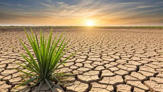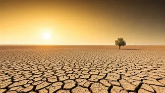


Just How Late Was It?
The 2026 monsoon's arrival was a staggered and delayed affair. It first made landfall in Kerala around June 4th, a few days behind schedule, before hitting a significant pause. For nearly two weeks, it stalled over the Karnataka-Goa-Maharashtra border
area, leaving central and northern India in an extended, sweltering wait. It wasn't until around June 23rd that it began to push north again, eventually covering regions like Mumbai. By July 2nd, the India Meteorological Department (IMD) officially declared its onset over Delhi, five days later than its normal date. This delay contributed to June 2026 being the fifth-driest since 1901, with a nationwide rainfall deficit of around 40 percent.
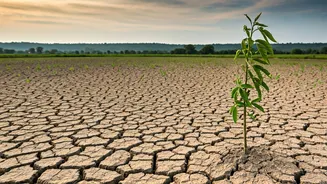
The Impact on Agriculture
The delay has had a direct and significant impact on India's farmers. The Kharif sowing season, which is critically dependent on the monsoon's arrival in June, got off to a slow start. As of late June, total Kharif sowing was down by nearly 23% compared to the same period last year. The acreage for key crops like rice, pulses, oilseeds, and cotton saw substantial declines. Rice sowing fell by over 25%, while the area under pulses dropped by more than 30%. The delay is particularly worrying for rain-fed agricultural zones, which rely almost entirely on monsoon showers for irrigation. The coming weeks will be crucial to see if farmers can make up for lost time, but the initial deficit has already raised concerns about potential impacts on crop yields, food supply chains, and rural incomes.
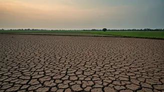
Dwindling Water in Reservoirs
It's not just the fields that were thirsty. The delayed rains put immense pressure on India's water reservoirs. By late June, the total live storage in 166 of the country's key reservoirs had dropped to just 26% of their full capacity. This was a stark 27% decrease compared to the same time last year. While the national storage level was still slightly above the ten-year average, the situation was more concerning in specific regions. Reservoirs in eastern and southern India were below their normal levels, and some dams, like the Chandan Dam in Jharkhand, reported near-zero storage. These low levels threaten both irrigation for agriculture and drinking water supplies for cities and towns, making the monsoon's performance over the next two months absolutely critical for water security.
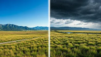
What Caused the Delay?
Several large-scale climate factors contributed to the monsoon's sluggish start. A key player this year is the El Niño phenomenon, which was officially declared in June. Historically, El Niño years are associated with weaker monsoon rainfall over India. This pattern typically suppresses the circulation that draws moisture from the ocean over the subcontinent. Adding to this, another climate pattern known as the Madden-Julian Oscillation (MJO) was in an unfavourable phase, further reducing rainfall. This combination of factors created a setup that was not conducive to a strong and timely monsoon onset, leading to the prolonged dry spell across large parts of the country.
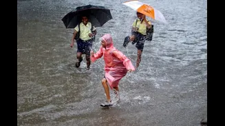
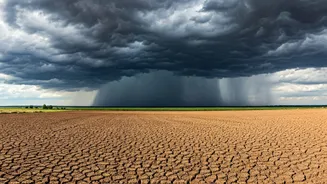
What’s the Forecast Now?
Now that the monsoon has covered most of the country, including Delhi, Uttar Pradesh, Punjab, and Rajasthan, the focus shifts to its performance in July and August. A low-pressure area that developed over the Bay of Bengal is expected to keep the monsoon active, bringing widespread rainfall to central India and boosting the sowing of Kharif crops. However, the IMD's forecast for July suggests that overall rainfall for the month is likely to be below normal for the country as a whole. While some regions might see normal to above-normal rain, many areas could continue to experience a deficit. Experts are advising caution, emphasizing the need for efficient water management and contingency planning in case the rainfall remains erratic.