




India's Eyes in the Sky
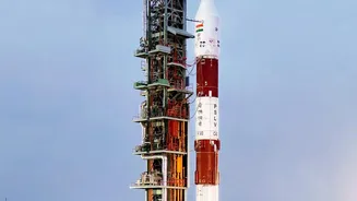
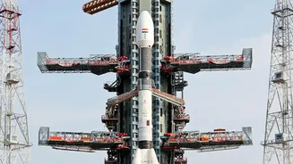
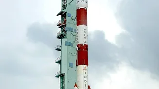
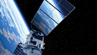
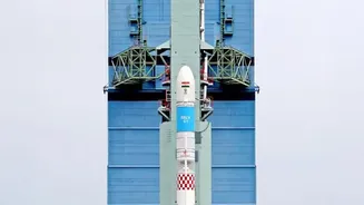
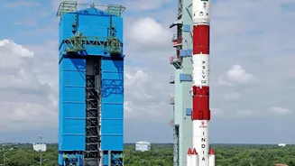
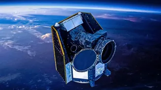
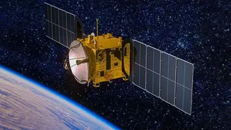
At the heart of India's advanced disaster warning system is a constellation of sophisticated satellites operated by the Indian Space Research Organisation (ISRO). This fleet, including the well-known INSAT series and newer Earth Observation Satellites
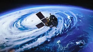
(EOS), acts as a tireless sentinel, watching over the Indian subcontinent from space. Unlike satellites that pass over a region periodically, meteorological satellites like INSAT-3D, INSAT-3DR, and the recently launched INSAT-3DS are positioned in a geostationary orbit. This allows them to hover over the same area continuously, providing an unbroken stream of data that is crucial for tracking rapidly developing weather systems. These missions are specifically designed for enhanced meteorological observations, monitoring land and ocean surfaces to power weather forecasting and disaster warnings.
From Raw Data to Actionable Intelligence
Capturing an image from space is only the first step. The true magic lies in transforming this raw data into information that emergency teams can actually use. This complex task is handled by ISRO's National Remote Sensing Centre (NRSC) and other agencies like the India Meteorological Department (IMD). The satellites are equipped with advanced instruments like imagers and sounders. The imager captures pictures of cloud cover, cyclones, and floods, while the sounder collects data on atmospheric temperature and humidity. This information is beamed down to Earth, where scientists process it almost instantly. They create detailed, easy-to-understand maps showing flood inundation, landslide-affected areas, and the predicted paths of cyclones. This entire process, from data capture to usable intelligence, happens in near real-time, giving authorities a vital head start.
Empowering Teams on the Ground
The most critical part of the chain is ensuring this life-saving information reaches the people who need it most: the disaster management teams on the ground. ISRO has established a robust system to disseminate this data quickly and efficiently. The processed information and maps are shared with key national and state-level agencies, including the National Disaster Management Authority (NDMA) and the Ministry of Home Affairs. This data is made available through dedicated web portals like Bhuvan and MOSDAC, which provide interactive geospatial maps and updates. This allows officials to plan evacuation routes, identify the worst-hit areas that need immediate attention, and strategically deploy rescue teams and resources to save lives and property.
A Proven Lifesaver
This technological backbone has proven its worth time and again. During severe cyclonic storms, the ability to rapidly scan the weather systems, as requested by the IMD from satellites like INSAT-3DR, is crucial for accurate track and intensity prediction. In the case of widespread floods, satellite imagery helps create near-real-time inundation maps, which are essential for coordinating relief operations when ground access is cut off. Furthermore, ISRO's satellites also play a vital role in monitoring forest fires, providing alerts several times a day to help ground teams manage and contain the blazes. Even services like the Satellite Aided Search and Rescue (SAS&R) transponder, carried on meteorological satellites, have helped rescue hundreds of lives.