






The View From Above
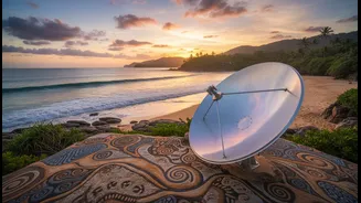
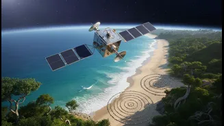
Satellites operated by organisations like the Indian Space Research Organisation (ISRO) provide a crucial, large-scale perspective on our changing coastlines. Instruments like the Ocean Colour Monitor (OCM) and scatterometers aboard satellites like the Oceansat
series constantly watch over the Indian Ocean. They measure critical variables such as sea surface temperature, wave height, shoreline changes, and water quality. This stream of data allows scientists to monitor the health of vital ecosystems like mangroves and coral reefs, track coastal erosion and deposition, and spot the formation of cyclones with unprecedented accuracy. Hyperspectral imaging from satellites like HysIS can even help in detailed analysis of coastal zones, identifying everything from vegetation health to sediment runoff. This macro-view is the first step in identifying which parts of the coast are most vulnerable and require urgent attention.
Understanding the Ocean's Language
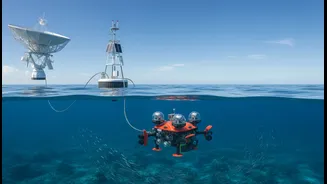
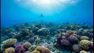
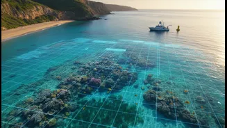
While satellites provide the broad picture, marine science provides the essential ground truth. Marine biologists, oceanographers, and ecologists conduct on-site surveys to understand the complex local dynamics that satellite sensors cannot capture alone. This includes taking water and sediment samples, conducting biodiversity assessments of coral reefs and seagrass meadows, and studying the immediate impacts of pollution or coastal development. This on-the-ground work is critical for validating the data received from space. For instance, if a satellite detects a change in the colour of coastal water, marine scientists can determine if it is due to a harmful algal bloom, industrial pollution, or natural sediment churn. This hands-on science is what translates the 'what' from satellite data into the 'why'.
A Powerful Partnership in Action
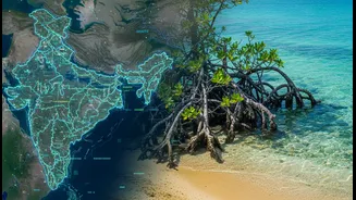
The true innovation lies in integrating these two fields. When satellite data is combined with marine science, it creates a powerful toolkit for proactive coastal management. For example, satellite imagery can identify large areas of degraded mangrove forests. Marine scientists can then use this information to target specific sites for restoration projects, choosing native species best suited for the local soil and water conditions. In Gujarat, community-based mangrove restoration has led to the planting of thousands of hectares of new cover, which has been reported by households to reduce the negative impacts of cyclones and increase income from fisheries. Similarly, satellite data on wave energy and coastal morphology helps engineers and scientists design and place 'nature-based solutions' like artificial reefs or advise on living shorelines, which use natural habitats to buffer against storm surges. This synergy moves coastal management from reactive repairs to strategic, evidence-based resilience.
India's Coastal Shield
In India, this integrated approach is already yielding significant benefits. The Indian National Centre for Ocean Information Services (INCOIS) is a prime example. Using real-time satellite data, INCOIS provides a host of critical services, including early warnings for tsunamis and storm surges, which are vital for evacuating coastal communities. It also issues Potential Fishing Zone (PFZ) advisories by combining satellite data on sea surface temperature and chlorophyll content to guide fishermen to productive areas, saving them fuel and time while increasing their catch. Furthermore, agencies are using remote sensing to monitor the vast mangrove forests of the Sundarbans and the health of coral reefs in the Andaman and Lakshadweep islands, providing early alerts for bleaching events caused by rising sea temperatures.
The Future of Coastal Defence
The future of coastal resilience lies in making this partnership even smarter. Artificial intelligence and machine learning are being used to analyse vast datasets from satellites, creating highly accurate predictive models for flood risk, erosion hotspots, and the impact of severe weather. This allows for more targeted interventions. The focus is increasingly shifting away from purely 'grey' infrastructure like concrete seawalls, and towards hybrid or 'green' solutions. Projects like creating living shorelines in the Sundarbans use terracotta structures to trap silt, encouraging the natural growth of salt-tolerant grasses and mangroves to stabilise the coast. As India plans to launch more satellites for enhanced surveillance, the ability to monitor and manage its long coastline will only grow stronger, ensuring the safety and prosperity of millions.