





The Monsoon's Perennial Challenge
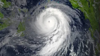
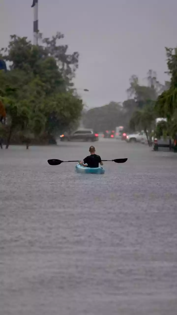
Every year, the Indian monsoon brings life-giving rain, but it also brings the fury of floods. For disaster management authorities, one of the biggest hurdles has been getting a clear picture of the situation on the ground. Conventional optical satellites,
which work like cameras in space, are rendered blind by the thick blanket of clouds that accompanies heavy rainfall. This 'blind spot' has historically hampered efforts to accurately map the extent of flooding, delay evacuation warnings, and slow down the delivery of life-saving aid to those who need it most.
A New Vision: The NISAR Mission
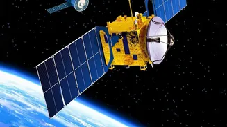
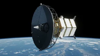
Enter NISAR, the NASA-ISRO Synthetic Aperture Radar satellite. This groundbreaking mission is a testament to the powerful space cooperation between the United States and India. Launched in July 2025, NISAR is not just another satellite; it is the most advanced Earth-observing radar satellite ever built, designed specifically to monitor changes on our planet's surface with unprecedented detail. Its primary goal is to track subtle shifts in the Earth's land and ice, providing a wealth of data for science and, crucially, for humanitarian applications like disaster response.
How Radar 'Sees' the Unseen
So, how does NISAR see through clouds? The secret lies in its technology: Synthetic Aperture Radar, or SAR. Unlike optical satellites that passively capture reflected sunlight, SAR is an active system. It works by sending pulses of microwave energy (radar signals) towards the Earth's surface and then 'listening' for the echoes that bounce back. These signals, which have wavelengths of about 10 to 25 centimetres, can easily penetrate clouds, rain, smoke, and darkness. By processing the returning echoes, the satellite constructs a detailed image of the ground, day or night, rain or shine. This all-weather capability is what makes it so invaluable during the monsoon.
From Raw Data to Life-Saving Maps
The NISAR satellite is a dual-frequency marvel, equipped with both an L-band radar from NASA and an S-band radar from ISRO. This combination allows it to create incredibly detailed and versatile images. The data captured is used to clearly distinguish between land and water surfaces, even beneath vegetation canopies. For flood monitoring, this means disaster management agencies can get precise, near-real-time maps showing exactly which areas are inundated. Recent images of the Brahmaputra River in Assam during the 2026 floods have already demonstrated this power, revealing the vast network of channels and flooded regions with stunning clarity. These maps are critical for guiding rescue teams, setting up relief camps, and assessing the scale of the disaster accurately.
A Game-Changer for Indian Disaster Management
With the ability to revisit any spot on Earth every 12 days, NISAR provides a consistent and reliable stream of data. For India, a country that frequently faces natural calamities, this is transformative. The information will help create what are essentially 'virtual stream gauges' across the country's vast river systems, measuring changes in water levels with centimetre-level precision. ISRO has already begun making NISAR data public through its Bhoonidhi portal, ensuring that scientists, policymakers, and disaster response teams have access to this vital information. This proactive approach enables a shift from reactive response to data-driven preparedness, potentially saving countless lives and livelihoods.
Beyond the Floods
While its impact on flood management is immediate and profound, NISAR's applications extend far beyond. The mission is also designed to monitor a wide array of Earth's processes. Its data will be used to study agricultural health and soil moisture, track the retreat of Himalayan glaciers, identify areas at risk of landslides, and even detect subtle ground deformation that could signal volcanic activity or earthquakes. This makes NISAR a multi-purpose tool for understanding and managing the complex environmental challenges facing India and the world.