




Eyes in the Sky
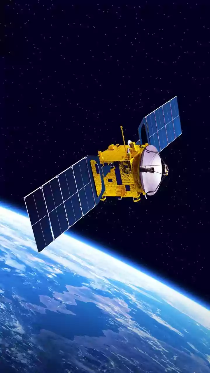
The process begins thousands of kilometres above Earth with a fleet of weather satellites. These are not your average cameras; they are equipped with advanced instruments called radiometers that scan the planet. For India, satellites like the INSAT-3D
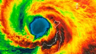
series are crucial eyes in the sky. They capture high-resolution imagery using different channels. Visible imagery, available only during the day, shows clouds just as our eyes would. More importantly, infrared (IR) imagery detects heat, allowing forecasters to see clouds day and night and measure their temperature. Colder, brighter clouds in an IR image are higher in the atmosphere and more likely to contain rain or indicate intense storms. Water vapour imagery tracks moisture in the atmosphere, which is essential fuel for any storm.
From Data to Dynamics
Raw satellite data is just a collection of pixels showing cloud temperatures or moisture levels. To make sense of it, meteorologists use a technique called Numerical Weather Prediction (NWP). This involves feeding massive amounts of current atmospheric data—temperature, wind, pressure, and humidity from satellites, weather balloons, and ground stations—into supercomputers. These computers run complex mathematical models that divide the atmosphere into a three-dimensional grid. By solving physics equations for each cell in the grid, the models simulate how the atmosphere will evolve over time, predicting where and when rain will form and fall. This is the backbone of most weather forecasts you see, from a three-day outlook to seasonal predictions.
The Hyper-Local Challenge of Nowcasting
While NWP models are great for general forecasts, predicting a downpour in a specific neighbourhood within the next hour is a different game. This is called 'nowcasting', which focuses on the immediate 0-6 hours. Nowcasting relies heavily on real-time data from Doppler radar, which can detect the intensity and movement of existing raindrops. By combining this with rapid-scan satellite imagery that updates every few minutes, forecasters can extrapolate the movement of a storm with high precision. This is why you can get an alert for 'rain starting in 15 minutes'. It’s less about predicting the formation of a new storm and more about tracking an existing one as it moves across the city.
The Rise of Artificial Intelligence
The newest revolution in weather forecasting is Artificial Intelligence (AI) and machine learning. Instead of relying solely on physics-based models, AI systems are trained on decades of historical weather data. They learn to recognise complex patterns in the atmosphere that precede certain weather outcomes. For example, an AI might identify a specific combination of satellite-observed cloud temperatures and water vapour levels that has, in the past, led to a flash flood. These AI models can generate forecasts much faster and at a lower computational cost than traditional NWP systems. This allows for 'super-resolution' forecasts that can provide probabilistic predictions for specific neighbourhoods, a significant leap in precision.
Why Cities Are So Tricky
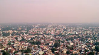
Even with all this technology, cities remain one of the hardest places to forecast. Rainfall is rarely uniform; one suburb can get drenched while the next one stays completely dry. Cities create their own microclimates. The 'urban heat island' effect—where concrete and asphalt retain heat—can alter air circulation and trigger or intensify rainfall. Buildings can change wind patterns in unpredictable ways. Even air pollution can play a role, as particles in the air can act as 'seeds' for cloud droplets to form around. Traditional weather models often struggle with these variables because their grid cells are too large to capture such localised effects. This makes predicting the exact path and intensity of a storm through a complex urban landscape a major scientific challenge.