




The Global GPS Foundation You Never See
Before we get to the new technology, let's talk about the foundation. Everything from Google Maps and weather forecasting to tracking sea-level rise depends on something called the Global Geodetic Reference Frame (GGRF). Think of it as the ultimate source
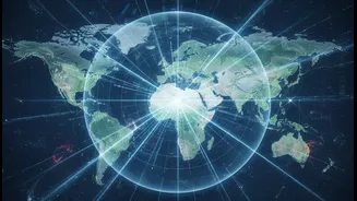
of truth for location on Earth. It’s a unified system that provides exact coordinates, heights, and even gravity information for any point on the planet. This isn't just one system, but a combination of several, including the familiar Global Navigation Satellite Systems (GNSS) like GPS, a celestial frame based on stars, and various height and gravity networks. This framework is what allows us to measure not just where things are, but how they change over time, from the slow drift of continents to the rising of oceans.
The Millimetre-Level Problem
For decades, scientists have built this reference frame by combining data from different, independent observing techniques. These include GNSS/GPS receivers, Satellite Laser Ranging (SLR), which bounces lasers off satellites, and Very Long Baseline Interferometry (VLBI), which uses radio telescopes to observe distant cosmic objects. The problem is that tying the data from these separate systems together has always been a challenge. Historically, connecting these different ground stations involved localized surveys, a process which introduces tiny, but significant, millimeter-level errors into the global picture. While a few millimeters might not matter for your daily commute, it’s a huge deal for scientists tracking climate change, where a sea-level rise of 3.7mm per year is the critical data point. Achieving higher accuracy is essential for understanding our changing planet.
Enter GRITSS: A Space-Based Solution
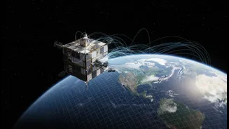
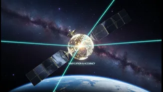
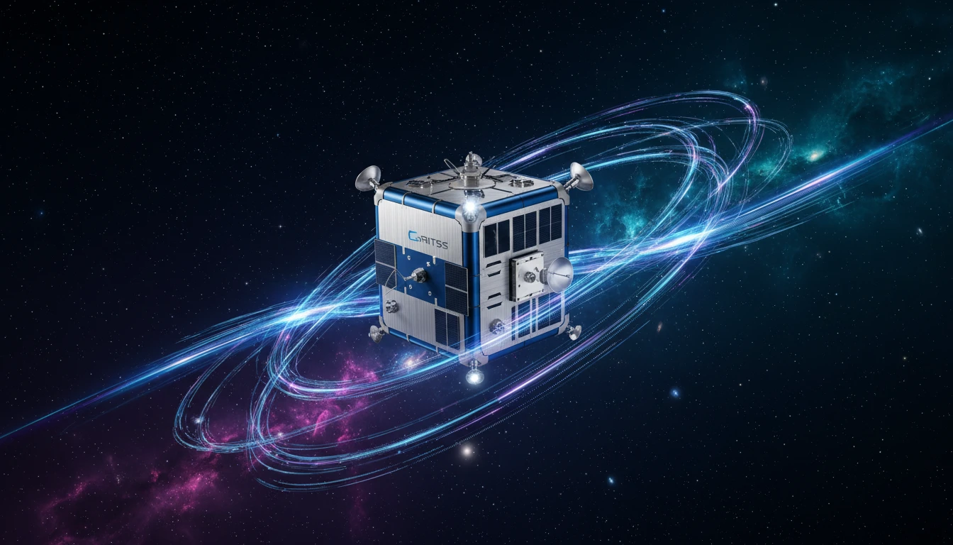
This is where the Geodetic Reference Instrument Transponder for Small Satellites, or GRITSS, comes in. Launched successfully on July 7, 2026, this innovative CubeSat is a technology demonstration mission led by NASA. Instead of trying to connect different systems from the ground, GRITSS acts as a single, unified reference point in space that can be observed by all three major geodetic techniques simultaneously. It carries a special GPS receiver, a laser retroreflector, and a unique transponder that captures GPS signals and rebroadcasts them on frequencies that VLBI radio telescopes on the ground can detect. This creates a direct, common link between the networks, effectively eliminating the 'site tie' errors that have historically limited precision. Housed in a 12U-XL CubeSat, the mission is a collaboration between NASA, the University of Massachusetts Lowell, and Dutch small-satellite specialist ISISPACE.
Why This Matters for India
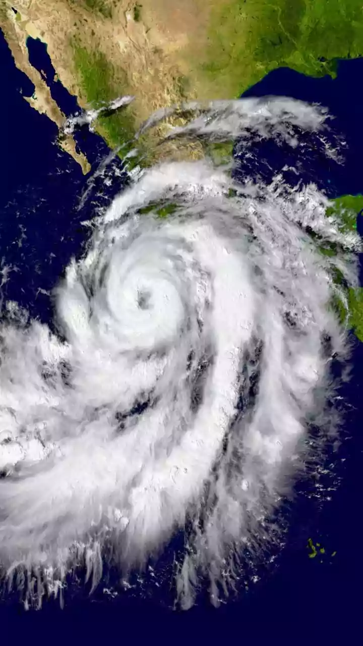
A more accurate global reference frame has profound implications for India's rapidly growing digital economy. The Indian geospatial industry is a multi-billion dollar sector, projected to grow significantly as technology becomes more integrated into the economy. Greater precision will directly benefit ride-hailing services, food delivery, and complex logistics by enabling more efficient routing. It's crucial for the development of smart cities, where accurate mapping underpins everything from infrastructure management to urban planning. For agriculture, a cornerstone of the Indian economy, enhanced geospatial data helps in precision farming, crop monitoring, and better water management. Furthermore, in a country prone to natural disasters like floods and cyclones, a hyper-accurate grid is vital for effective disaster management, risk assessment, and guiding frontline response teams.
The Future is Precise
The GRITSS mission is aiming to help scientists achieve the goal of a reference frame accurate to within one millimeter. This level of precision will unlock new capabilities, enhancing our ability to monitor critical Earth systems, from the melting of ice sheets to the distribution of fresh water. For India, which has made geospatial technology a core part of its national development strategy through initiatives like the National Geospatial Policy and PM Gati Shakti, a more robust global framework is a powerful enabler. As our world becomes increasingly data-driven, this seemingly small satellite is paving the way for a more accurately measured, better-understood, and more efficiently managed planet for everyone.