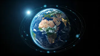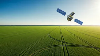


Seeing the Whole Planet at Once
Imagine trying to understand India's monsoon by only using rain gauges in Delhi and Mumbai. You'd get some data, but you'd miss the vast, complex picture. Before satellites, climate science faced a similar problem. Ground-based weather stations, ocean
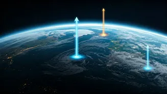
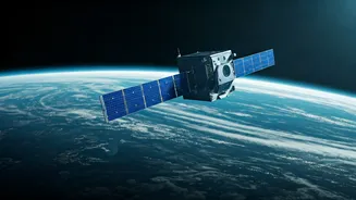
buoys, and field researchers provide crucial, high-detail information, but they are just dots on a massive map. Satellites solve the problem of scale. Instruments like those on the European Space Agency's Sentinel missions or NASA's Terra and Aqua satellites scan the entire globe, often in a matter of days. This provides a continuous, comprehensive view of our planet's systems, allowing scientists to see how patterns in the Pacific Ocean might affect weather in the Indian subcontinent, or how a heatwave in Europe connects to atmospheric shifts thousands of miles away. This global perspective is something no amount of ground-based monitoring can replicate.
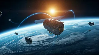
Measuring the Unreachable
Some of the most critical areas for understanding climate change are also the most hostile and remote. Think of the vast, frozen expanses of Antarctica and Greenland, the highest reaches of the Himalayas, or the middle of the Pacific Ocean. Sending research teams to these places is expensive, dangerous, and often only possible for short periods. Satellites are our permanent scouts in these inaccessible regions. Missions like NASA's ICESat-2 use lasers to measure the exact height of ice sheets, revealing how much they are melting with astonishing precision. Altimeter satellites bounce radar pulses off the ocean surface to track sea-level rise down to the millimetre. They can monitor the health of remote rainforests, track the extent of sea ice in the Arctic, and measure the temperature of the ocean surface day after day, year after year, without ever needing to refuel or come back to base.
Unveiling Invisible Forces
Much of what drives climate change is invisible to the naked eye. We can't see carbon dioxide or methane in the atmosphere, nor can we visually perceive the subtle shifts in Earth's gravity caused by melting ice sheets. Satellites can. Specialised instruments are designed to detect the chemical fingerprints of different gases. NASA's Orbiting Carbon Observatory (OCO-2 and OCO-3) missions, for example, can map concentrations of atmospheric CO2 across the globe, identifying major sources and sinks. Perhaps even more mind-bending are missions like GRACE (Gravity Recovery and Climate Experiment). By tracking the minute distance between two twin satellites as they orbit, scientists can detect tiny variations in Earth's gravitational pull. These variations are caused by changes in mass on the surface—primarily, the movement of water. This is how we know, with confidence, that Greenland and Antarctica are losing billions of tonnes of ice each year; GRACE effectively 'weighs' the ice sheets from space.
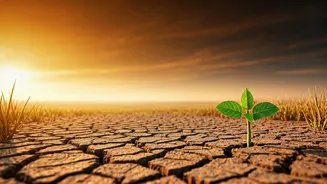
The Power of a Consistent Record
To distinguish a long-term trend from short-term noise, you need a long, unbroken record of data. Climate is weather averaged over decades. A single hot summer doesn't prove climate change, but 30 years of progressively hotter summers does. Since the 1970s, satellites have been building this crucial historical archive. Because the same instruments (or their carefully calibrated successors) are taking the same measurements over and over, they create a consistent dataset that is free from the variations you might get from different ground stations using slightly different equipment. This long-term, standardised view is the bedrock of modern climate science. It allows researchers to confidently state that global temperatures are rising, sea levels are accelerating, and ice cover is shrinking. This data forms the backbone of major international reports, including those from the Intergovernmental Panel on Climate Change (IPCC), providing the foundational evidence for global policy decisions.