








An Eye in the Sky Called NISAR
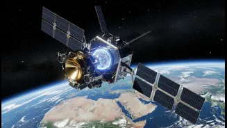
To understand how one project can serve so many different sciences, look no further than the NISAR mission. A landmark collaboration between the Indian Space Research Organisation (ISRO) and the United States' National Aeronautics and Space Administration
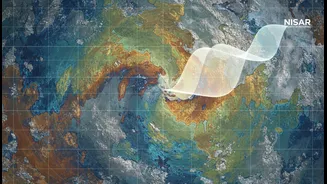
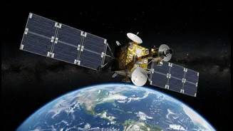
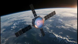
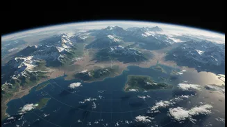
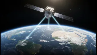
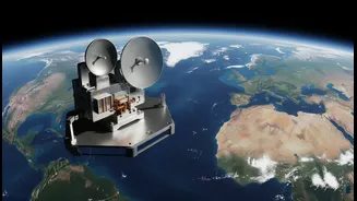
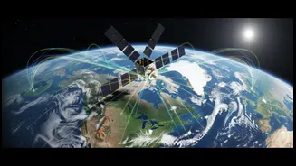
(NASA), NISAR stands for NASA-ISRO Synthetic Aperture Radar. This Earth-observing satellite is one of the most advanced tools ever created to monitor our planet. Unlike typical cameras that rely on visible light, NISAR uses radar to see through clouds, darkness, and even dense forest canopies. It will scan nearly the entire globe every 12 days, measuring changes in the Earth's surface with astonishing precision—down to a centimetre. This consistent, all-weather capability is what makes it a game-changer, providing a unified stream of data that scientists from vastly different fields can use.
Revolutionising Agriculture and Water Management
For agriculture, NISAR's data is revolutionary. The satellite’s S-band radar is specifically designed to monitor soil moisture. This information will allow for more accurate predictions of crop yields and help create more efficient irrigation strategies, which is critical for food security. By tracking the extent of croplands and the health of vegetation, policymakers and farmers can make better-informed decisions. This directly ties into hydrology, the study of water. NISAR will track changes in wetland areas and monitor the depletion or recharge of underground aquifers, which are vital sources of fresh water. Its ability to map the extent of flooding, even under tree cover, will be invaluable for disaster response and management, helping communities prepare for and react to water-related hazards.
Unlocking the Secrets of Solid Earth
In the realm of geology, NISAR acts as a planetary detective. Its primary mission is to measure subtle shifts in the Earth's crust. By detecting tiny movements of the ground, scientists can better understand the processes that lead to earthquakes, volcanic eruptions, and landslides. The satellite can identify areas where strain is building up along fault lines or where the ground is swelling due to magma moving beneath a volcano. This provides critical information for hazard assessment and could improve early warning systems, giving communities in vulnerable areas more time to prepare. For a country like India, with its active geological zones including the Himalayas, this capability to monitor land deformation is of immense national interest.
A Unified View for Climate Science
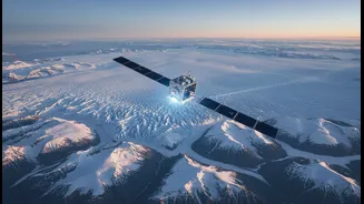
Climate science is the thread that ties all these disciplines together, and NISAR provides the big-picture view. By measuring changes in ice sheets and glaciers, the mission will give us a clearer understanding of their contribution to sea-level rise. The satellite will also monitor the world's forests, measuring biomass to understand how much carbon they store and how disturbances like deforestation affect the global carbon cycle. The data on soil moisture, ice melt, and ecosystem changes are all crucial inputs for refining climate models. By observing how these different parts of the Earth system interact and respond to change, scientists can build a more complete and accurate picture of our planet's climate and how it is evolving.