





An Eye in the Sky Like No Other
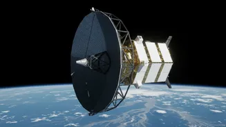
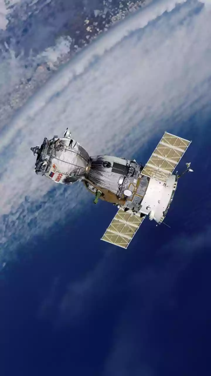
The NASA-ISRO Synthetic Aperture Radar, or NISAR, represents a monumental collaboration between the two space agencies. Orbiting 747 kilometres above the Earth, it is the most advanced Earth-observing radar satellite ever built. Its primary mission is to
track subtle changes on our planet's surface, from the slow creep of a glacier to the ground deformation that can precede a volcanic eruption or landslide. To do this, NISAR will scan nearly the entire planet every 12 days, creating an unprecedentedly detailed and consistent record of Earth's land and ice. While it has numerous scientific applications, its potential for disaster management, particularly flood forecasting in India, is being hailed as a game-changer.
Seeing Through The Storm
What makes NISAR so special for flood prediction? Its ability to see through clouds, rain, and darkness. Traditional optical satellites are often useless during the very weather events that cause floods, as their view is obscured by heavy cloud cover. NISAR, however, uses a sophisticated dual-frequency radar system. NASA provided the L-band radar, and ISRO developed the S-band radar. These radar instruments bounce microwave signals off the Earth's surface, which can penetrate clouds and even forest canopies. The L-band, with its longer wavelength, is particularly effective at seeing through dense vegetation to map water on the ground beneath. This means that for the first time, authorities can get a clear picture of flood inundation as it happens, regardless of the weather or time of day.
From Data to Life-Saving Warnings
Currently, flood warnings often rely on a network of physical stream gauges that measure river levels at specific points. This network can be sparse, especially in remote areas. NISAR will act as a 'virtual stream gauge' on a massive scale, providing continuous maps that show not just the extent of flooding but also changes in water level, sometimes down to a centimetre. By comparing images taken just days apart, scientists and disaster management agencies like the NDMA can track how floodwaters are moving and how levels are changing in inundated areas. This data can be fed into hydrological models to generate far more accurate and timely predictions for downstream communities. Data products are expected to be available within hours in response to disasters, providing actionable intelligence when it's needed most.
The India Advantage
For India, a nation with vast and varied geography prone to recurring floods, the benefits are immense. From the densely vegetated regions of the Western Ghats and the Northeast to the sprawling Gangetic plains, NISAR's ability to monitor waterlogging under tree canopies and map soil moisture is invaluable. Previously, it was difficult to accurately assess flood extent in forested areas like the Sundarbans, but NISAR's longer wavelength radar will provide much more precise information. This detailed mapping will not only improve immediate disaster response but also aid in long-term planning, such as identifying at-risk infrastructure, informing urban development, and creating more resilient agricultural practices by assessing crop flood damage. All data from the NISAR mission will be free and open to the public, empowering researchers, state governments, and local agencies across the country.