






Demystifying GRITSS
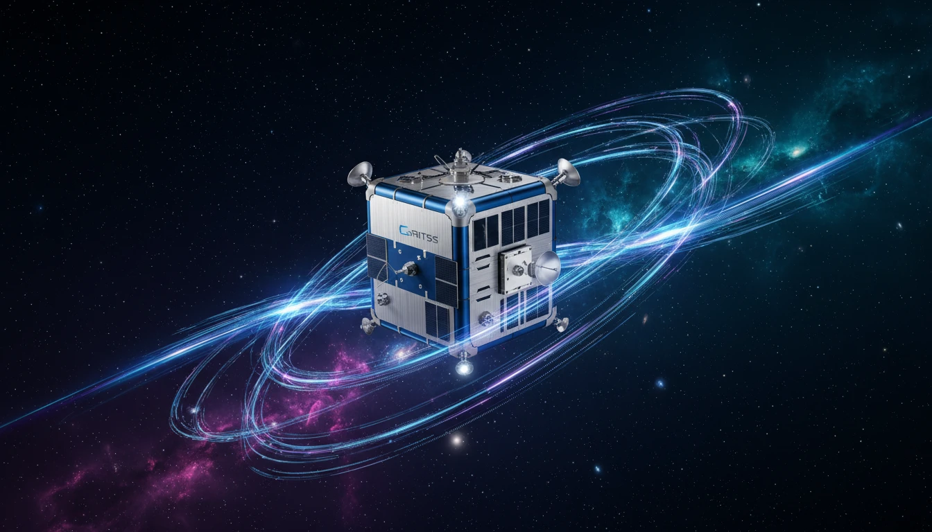
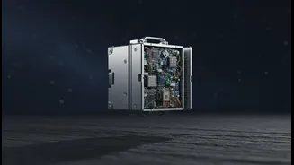
GRITSS, which stands for Geodetic Reference Instrument Transponder for Small Satellites, is a suitcase-sized satellite that recently launched into low-Earth orbit. Its mission is not to become a new GPS system, but to make the entire global positioning
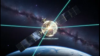
framework dramatically more precise. Think of it as a master calibrator for the planet. It acts as a single, unified target in space that can be observed by three different and traditionally separate ground-based measurement systems, helping them all speak the same language. This technology demonstration is a collaborative effort involving NASA, the University of Massachusetts Lowell, and the Dutch small-satellite manufacturer ISISPACE. By creating this common reference point, GRITSS aims to solve a long-standing problem that has limited the precision of Earth science.
The Millimetre Problem
Virtually all modern Earth observation relies on a single, global coordinate system called the International Terrestrial Reference Frame (ITRF). This framework is the foundation for everything from your phone's location services to scientific models tracking continental drift. The ITRF is built by combining data from three powerful techniques: Global Navigation Satellite Systems (GNSS) like GPS, Very Long Baseline Interferometry (VLBI) which uses radio telescopes, and Satellite Laser Ranging (SLR) which bounces lasers off satellites. The problem is that these three systems have always been slightly out of sync. When combining their data, tiny, millimeter-level errors are introduced. While a few millimeters might seem insignificant, they create major hurdles for scientists trying to measure subtle planetary changes, like the rise in global sea levels or the melting of ice sheets.
A Three-in-One Solution from Orbit
GRITSS solves this sync issue by acting as a universal translator in orbit. It is equipped with a unique payload that can communicate with all three ground systems simultaneously. The satellite carries a modified GPS receiver that captures navigation signals, converts them into different frequencies (S-band and X-band), and then broadcasts them down to the VLBI radio telescopes on the ground. This creates a direct link between the two networks. Concurrently, the satellite is fitted with a laser retroreflector array, a special set of mirrors that allows SLR stations to bounce laser beams off it to calculate distance with extreme accuracy. By being the single object that all three independent systems can measure at once, GRITSS allows scientists to precisely calculate the distances between the different ground stations, effectively eliminating the systematic errors and creating a more robust and unified reference frame.
Impact on Research and Daily Life
Achieving millimeter-level accuracy in the ITRF is a game-changer. For climate scientists, it means a clearer ability to distinguish between sea-level rise caused by melting glaciers and coastal land that is naturally sinking. It will enhance our ability to monitor freshwater resources, track the movements of tectonic plates, and create more reliable models of climate events like El Niño. For India, this could translate to better management of water resources in major river basins and more accurate monitoring of Himalayan glaciers. Beyond climate science, the benefits extend to technologies that are becoming part of our daily lives. Precision agriculture, autonomous vehicles, and advanced infrastructure monitoring all rely on centimeter-level positioning. By providing a more stable and accurate foundation for all GNSS services, GRITSS will ultimately make these technologies more reliable and robust.
The Future of Digital Mapping
The GRITSS mission also points toward the future of mapping itself. The world is moving away from static maps and toward 'digital twins'—dynamic, 3D virtual models of the physical world that are updated in real-time. These models are crucial for everything from smart city planning to managing complex supply chains. Creating accurate digital twins requires seamlessly fusing massive amounts of data from multiple sensors and sources. The principle demonstrated by GRITSS—unifying different measurement techniques into a single, cohesive frame—is fundamental to building these living maps. As a technology built into a cost-effective CubeSat, GRITSS also paves the way for a future constellation of similar small satellites, which could provide even better global coverage and further refine our understanding of the planet.