




Our Current Eyes in the Sky
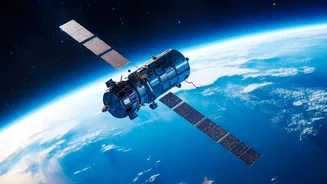
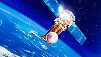
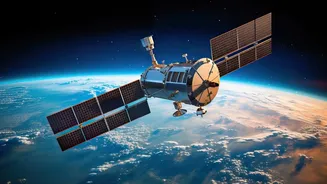
India, through the Indian Space Research Organisation (ISRO), has a robust fleet of satellites dedicated to observing the subcontinent. Series like INSAT, Resourcesat, and the radar-imaging RISAT family provide invaluable data. This information is fed
to crucial agencies, including the National Disaster Management Authority (NDMA) and the National Remote Sensing Centre (NRSC), to monitor weather patterns, forecast cyclones, and map affected areas. For cyclones, for instance, satellites provide regular updates on intensity and track predictions, forming the backbone of early warnings that save countless lives. In the aftermath of events like earthquakes or major floods, satellite imagery is used to conduct rapid damage assessment, helping authorities understand the scale of destruction.
The Gap Between Data and Action
The primary challenge isn't a lack of satellites, but the lag and usability of the data they produce. During critical events like monsoonal floods or cyclones, heavy cloud cover can render optical satellites ineffective. While Synthetic Aperture Radar (SAR) satellites like RISAT can see through clouds and darkness, there can be delays in getting this data processed and into the hands of first responders. Often, raw satellite data requires significant interpretation, and by the time a clear map of a flooded area or a new landslide is generated, the crucial 'golden hour' for rescue may have passed. As a recent example from the Himalayas shows, a satellite alert is of little use to a remote village if there is no last-mile system, like a siren, to deliver the warning in time.
How Better Observation Can Save Lives
“Better” Earth observation means more than just more satellites; it means faster, more frequent, and more actionable data. Imagine near real-time, high-resolution maps that show not just that a river has flooded, but which specific streets and homes are inundated, allowing rescue teams to navigate precisely. This requires a combination of technologies. The upcoming NASA-ISRO Synthetic Aperture Radar (NISAR) mission is a significant step in this direction. With its advanced L-band and S-band radar, NISAR will be able to monitor changes on the Earth’s surface—down to a centimetre—every 12 days, regardless of weather. This can provide unprecedented detail on landslide-prone zones, seismic shifts before an earthquake, and the true extent of flooding under forest canopies.
Building a Truly Integrated System
Ultimately, advanced satellites are only one piece of the puzzle. To truly transform disaster response, the data they generate must be seamlessly integrated into a larger ecosystem. This involves using Artificial Intelligence (AI) and Machine Learning (ML) to rapidly analyse imagery and predict impacts, cutting down processing time from hours to minutes. It also requires breaking down data silos between different government departments—like agriculture, water, and health—so that everyone is working from the same, constantly updated map. Furthermore, making more high-resolution data from indigenous satellites openly and easily available can empower state-level agencies, researchers, and even startups to build innovative solutions for their local contexts. This creates a system where space technology empowers a multi-layered, proactive, and collaborative approach to disaster management.