
The Eye in the Sky
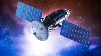
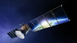
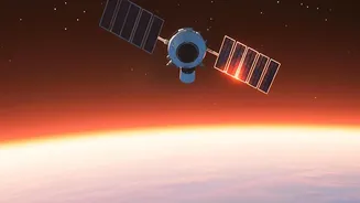
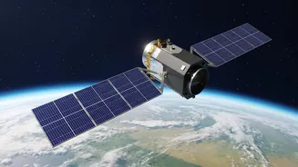
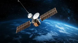
The foundation of this transformation is satellite technology, championed by the Indian Space Research Organisation (ISRO). Satellites provide a perspective impossible from the ground, scanning vast swathes of the country to gather data on atmospheric
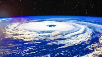
conditions and land use. For meteorology, geostationary satellites like the INSAT series (INSAT-3D and INSAT-3DR) provide constant weather surveillance over the Indian subcontinent. They capture images in multiple spectrums—visible, infrared, and water vapour—allowing the India Meteorological Department (IMD) to monitor cloud formation, track cyclones with greater accuracy, and issue timely warnings. This continuous stream of data, available every 15 minutes, has drastically improved the lead time and precision of forecasts for severe weather events, saving lives and property.
A Digital Revolution for Agriculture
Beyond weather, satellites are becoming a crucial tool for India's food security. ISRO's Earth observation satellites, such as the Resourcesat and RISAT series, are designed to monitor agricultural landscapes. Unlike optical satellites, which are hindered by cloud cover during the crucial monsoon season, Radar Imaging Satellites (RISAT) can see through clouds, day or night. This allows for uninterrupted monitoring of crop growth, soil moisture, and land use. The upcoming NASA-ISRO Synthetic Aperture Radar (NISAR) mission is expected to be a game-changer, providing high-resolution soil moisture data every 12 days, a critical factor for irrigation management and drought prediction.
From Raw Data to Actionable Insights
Collecting data is only the first step. The real magic happens when this information is translated into practical advice for farmers and policymakers. Flagship programmes like FASAL (Forecasting Agricultural output using Space, Agrometeorology and Land-based observations) use satellite data to generate pre-harvest production estimates for major crops like wheat and rice. This helps the government in planning for food procurement and storage. Another key initiative is the Krishi-Decision Support System (Krishi-DSS), which provides real-time information on crop health, pest attacks, and soil conditions directly to farmers. By analysing vegetation indices like NDVI, which indicate plant health, authorities can detect crop stress early and advise on targeted interventions, optimising the use of fertilizers and water.
Tangible Benefits for Farmers
The impact of this technology is already being felt on the ground. By providing hyperlocal weather forecasts and crop-specific advisories, satellite-backed systems empower farmers to make informed decisions about when to sow, irrigate, and harvest. This data-driven approach, often called precision agriculture, leads to higher yields and reduced input costs. For instance, studies have shown that using satellite-based advisories can improve productivity in soybean and cotton crops while cutting input costs by 5-10%. Furthermore, satellite data is transforming crop insurance under the Pradhan Mantri Fasal Bima Yojana (PMFBY). It allows for more accurate damage assessment after natural disasters and faster claim settlements, providing a more reliable safety net for farmers.
The Road Ahead
While the potential is immense, challenges remain. The primary hurdle is last-mile connectivity—ensuring that the insights generated from complex satellite data reach every farmer, regardless of their location or digital literacy. Bridging this gap requires robust digital infrastructure and user-friendly mobile applications. Moreover, as India's space economy opens to private participation under the Indian Space Policy 2023, the ecosystem for agricultural technology is expected to grow rapidly. Integrating satellite data with artificial intelligence and machine learning will further enhance predictive capabilities, making farming more resilient in an era of climate change.