





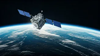

The Skill Powering the New Space Age
The skill in the spotlight is geospatial analysis, which involves interpreting data tied to specific locations on Earth. Think of it as turning complex satellite images into actionable intelligence. This isn't just about making maps; it's about using
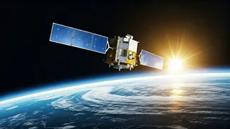
remote sensing and Geographic Information System (GIS) tools to understand patterns, track changes, and make predictions. Professionals in this field work with massive datasets collected from satellites to monitor everything from crop health and urban expansion to climate change and disaster impact. As India's space sector becomes more commercialised, the ability to derive meaning from this 'space data' is becoming invaluable.
Why the Sudden Demand in India?
Until recently, India's space industry was dominated by government agencies. However, the landscape is rapidly changing. The establishment of IN-SPACe (Indian National Space Promotion and Authorisation Centre) has opened the doors for private companies, leading to a surge in startups. These new players aren't just building rockets; they're creating applications that use satellite data to solve real-world problems. This privatisation push, combined with major national initiatives like Smart Cities and Digital India, has created a massive appetite for geospatial talent. Companies need experts who can analyse satellite feeds to guide urban planning, optimise agricultural output, manage natural resources, and even enhance national security.
From Pixels to a Paycheque: What the Job Entails
A career in geospatial analysis is incredibly diverse. A GIS analyst might work for an agri-tech company, using satellite imagery to advise farmers on irrigation and predict crop yields. In an urban planning department, they might map infrastructure needs for a growing city or model the impact of new construction. During natural disasters, these experts are critical, providing real-time maps of affected areas to guide emergency response teams. The work extends to environmental management, forestry, telecommunications, and logistics. Essentially, any industry that relies on location-based information is a potential employer, making this a highly versatile and future-proof career path.
Your Launchpad: How to Acquire This Skill
For students aspiring to enter this field, there are multiple pathways. Formal education options include bachelor's or master's degrees in Geoinformatics, Remote Sensing, or Geography with a GIS specialisation. Many engineering disciplines also offer relevant coursework. Beyond university, numerous online certificate programs are available from institutions and platforms that provide hands-on training. Key technical skills to focus on include proficiency in GIS software like ArcGIS or the open-source QGIS, along with programming languages like Python, which is widely used for data analysis. Building a portfolio of projects, even small ones using publicly available satellite data from organisations like ISRO, can significantly boost employability in this rapidly growing field.