







The Classic Monsoon Travel Dilemma
Every year, as the monsoon blankets India in lush green, travellers are faced with a choice. Do you risk the journey to witness breathtaking waterfalls and misty hills, or do you stay home to avoid the uncertainty? The season's beauty is undeniable, but
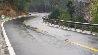
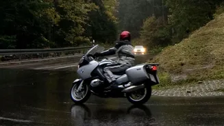
so are its hazards. Waterlogged roads, poor visibility, flash floods, and landslides are common challenges, especially in hilly regions and on major highways. For decades, travel plans have relied on city-wide forecasts that offer little help once you're on the open road, somewhere between your origin and destination.
Beyond City-Wide Predictions
A general forecast for a large city or district is useful, but its limitations become apparent during a long-distance drive. Weather conditions can change dramatically over 100-200 kilometres. A sunny start doesn't guarantee a safe passage through the ghats an hour later. The India Meteorological Department (IMD) has long provided essential weather services, but the real need for travellers has been more granular, real-time information specific to their path of travel. Standard alerts often tell you about the weather at your destination, not the dynamic conditions you'll face along the way.
Enter Route-Level Intelligence
The game-changer for monsoon travel is the advent of route-specific or highway-level weather forecasts. Leveraging a powerful combination of GIS technology, Doppler radars, and an expanding network of automated weather stations, the IMD can now provide dynamic updates tailored to your journey. Instead of just a forecast for Mumbai, you can get predictions for specific stretches of the Mumbai-Pune Expressway or the Bengaluru-Mysuru highway. These tools are designed to provide warnings about heavy rain, fog, strong winds, and even the probability of weather-induced hazards like landslides for the exact corridor you are travelling through.
How to Access and Use Highway Forecasts
The IMD has made this crucial information accessible to the public, moving beyond jargon-heavy bulletins to user-friendly platforms. The primary tool is the official IMD website, which features a dedicated 'Highway Forecast' section. Here, you can select your state and major routes to see detailed forecasts. Furthermore, the IMD's 'Mausam' app provides weather alerts and access to radar imagery, which can be invaluable for on-the-go planning. Some systems even allow you to input a source and destination to receive a weather outlook for the entire computed route, helping you decide the safest time to travel or whether to take an alternate path.
Planning Your Monsoon Trip Smarter
With these tools, your monsoon itinerary planning can become proactive rather than reactive. Before you start, check the highway forecast for your entire route for the next 24-48 hours. Look for colour-coded warnings—red, orange, and yellow—which indicate the severity of expected weather. If a particular section of your route shows a warning for extremely heavy rain, you might decide to delay your departure or choose a different route. During the journey, keep the Mausam app handy to check for 'nowcasts' or short-term, three-hourly updates for your immediate vicinity. This allows for real-time decisions, such as pulling over to wait out an intense spell of rain.
A New Era of Travel Safety
This shift towards hyperlocal, route-based forecasting is more than just a convenience; it's a significant leap in travel safety. By providing specific, actionable intelligence, these tools empower drivers to make informed decisions that can prevent them from getting stranded or caught in dangerous situations. It transforms the monsoon travel narrative from one of risk and anxiety to one of preparation and confidence. As the IMD continues to expand its observational network and integrate AI into its models, the accuracy and reach of these forecasts are only set to improve, making every journey safer.