


The Monsoon's Unique Challenges
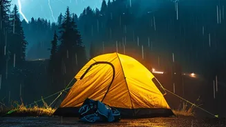
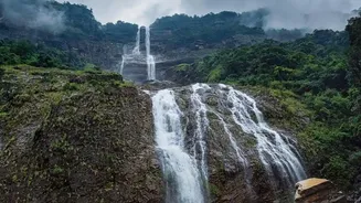
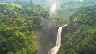
Trekking in the Indian Himalayas or the Western Ghats during monsoon is a magical experience, but it’s not without its perils. Continuous rainfall makes trails incredibly slippery and treacherous. The real dangers, however, are more specific: flash floods
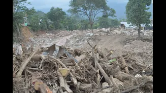
in narrow ravines, swollen river crossings, and poor visibility due to dense fog. Trails that are clearly marked in summer can disappear completely, and the risk of landslides increases, potentially cutting off routes and stranding trekking groups. In these conditions, traditional navigation with a map and compass becomes extremely difficult, making technology an essential partner.
More Than Just a Phone App
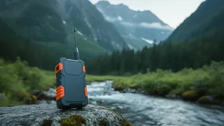
When we talk about GPS for serious trekking, it’s important to distinguish it from the navigation app on your smartphone. While phone apps are convenient, they rely on cellular networks, which are often non-existent in remote mountain regions. Professional trekking outfits use dedicated handheld GPS devices or satellite messengers. These rugged, waterproof units are built to withstand harsh weather. They communicate directly with a network of orbiting satellites, meaning they work anywhere on Earth, from a deep valley in Uttarakhand to a high pass in Himachal Pradesh, ensuring a constant and reliable connection. In fact, some states like Himachal Pradesh have made it mandatory for trekkers to carry a GPS device for their own safety.
The Lifesaving Features
Modern GPS devices offer a suite of features designed for wilderness safety. Guides pre-load the entire trek's route onto the device before starting. This creates a digital breadcrumb trail that the team can follow, even if the physical path is obscured by fog, rain, or snow. Another critical feature is real-time location sharing, which allows the base camp or a support team to monitor the group's progress on a live map. Perhaps the most crucial function is the SOS button. When activated, it sends a distress signal with the user's exact coordinates to a 24/7 international emergency response center. These centers then coordinate with local authorities to initiate a rescue, a feature far more robust than a standard phone's emergency call.
Choosing the Right Tool for the Job
Trekking teams typically use devices like the Garmin inReach series, which combine GPS navigation with two-way satellite messaging. This allows the trek leader to send and receive text messages for weather updates or to confirm their status, entirely without mobile service. These devices also have a much longer battery life than smartphones and are built with physical buttons that work even with gloves on or in heavy rain—a major advantage over touchscreens that become unresponsive when wet. Some units also include a built-in barometer and altimeter, which help track altitude gain and predict weather changes based on air pressure, adding another layer of situational awareness.
Technology as a Partner, Not a Panacea
Despite its incredible benefits, experienced guides are quick to point out that GPS technology is a tool, not a substitute for skill and judgment. It complements the expertise of a seasoned trek leader and a well-planned itinerary. Trekking companies use it as part of a holistic safety net that includes thorough planning, carrying first-aid kits, checking weather forecasts, and having contingency plans. The technology empowers teams to make better-informed decisions, like holding their position if visibility drops or confirming a safe path around a potential hazard. It provides a reliable backup when human senses are compromised by the elements.