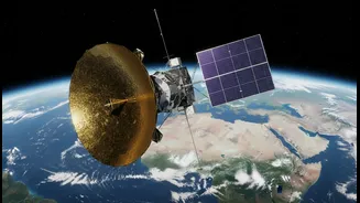









A Partnership Orbiting the Earth
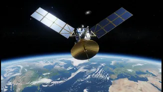
The NASA-ISRO Synthetic Aperture Radar, or NISAR, represents a monumental achievement in international cooperation. Launched on July 30, 2025, from India's Satish Dhawan Space Centre, this mission is one of the most ambitious and expensive Earth-imaging
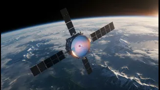
projects to date, with a combined cost of around $1.5 billion. Forged through a partnership agreement signed in 2014, the mission combines the distinct expertise of both space agencies to achieve a common goal: to observe and understand the subtle, and sometimes dramatic, changes happening to our planet's surface. Following its launch aboard an ISRO GSLV rocket, NISAR successfully entered its science operations phase in early 2026. It now orbits the Earth at an altitude of 747 kilometres, ready to begin its multi-year mission to map the globe.
The Power of Two Radars
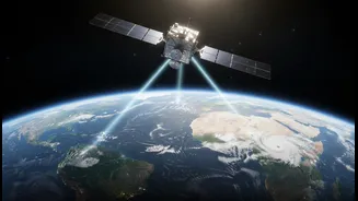
What makes NISAR truly revolutionary is that it is the first satellite mission to use two different radar frequencies simultaneously. It carries an L-band Synthetic Aperture Radar (SAR) provided by NASA and an S-band SAR provided by ISRO. Think of it as having two different types of vision. Radar works by sending out microwave pulses and reading the echoes that bounce back, allowing it to “see” through clouds, darkness, and even forest canopies. The L-band, with its longer wavelength, is excellent for penetrating vegetation to see the ground beneath and for measuring subtle surface movements over large areas. The S-band, with a shorter wavelength, is better suited for monitoring things like crop health and soil moisture. By combining both, NISAR can create a uniquely detailed and comprehensive picture of Earth's surface, capturing changes as small as a centimetre across.
ISRO and NASA: A Shared Mission
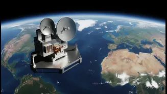
The collaboration on NISAR is a true 50/50 partnership, with each agency bringing critical hardware and expertise to the table. NASA’s Jet Propulsion Laboratory (JPL) developed the L-band radar system, a high-rate communication system for the science data, and the enormous 12-metre-wide wire mesh radar antenna reflector, which was unfurled in orbit. ISRO provided the powerful GSLV Mk II launch vehicle, the S-band radar system, and the main spacecraft structure, known as the bus. After the components were built on opposite sides of the world, the final integration and testing took place at ISRO's facilities in Bengaluru before the satellite was moved to the launch site. Now in orbit, the data from the L-band instrument is hosted by NASA, while ISRO hosts the data from its S-band instrument, with a commitment to make all scientific data freely and openly available to the public.
What Will NISAR Help India Achieve?
NISAR's data will be invaluable for a wide range of applications critical to India. The satellite will systematically scan nearly all of Earth's land and ice every 12 days, providing an incredibly rich dataset. This will help scientists monitor the Himalayan glaciers to understand their melt rates and the impact on water resources. It will improve disaster management by providing near real-time data on landslides, earthquakes, and floods. For agriculture, the mission will monitor crop health, soil moisture, and changes in agricultural land, which can aid in yield prediction and drought management. Furthermore, NISAR will monitor India’s vast coastline, study changes in wetlands and forests like mangroves, and even provide data on groundwater levels, offering a powerful tool for resource management and environmental protection.