





The Unblinking Eye in the Sky
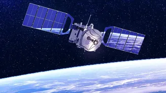
At its core, satellite-based earth monitoring for flood management involves using specialised satellites to capture images and data from the Earth's surface. These are not your standard cameras. Many use Synthetic Aperture Radar (SAR), a technology that
is a game-changer for flood monitoring. Unlike optical satellites that require clear skies and daylight, SAR can penetrate cloud cover and operate day or night. This is crucial because flood events are often accompanied by heavy cloud and rain, conditions that would blind normal satellites. SAR works by sending radar pulses to the ground and measuring the signal that bounces back. Calm water surfaces act like a mirror, reflecting the signal away from the satellite and appearing as dark areas in the resulting images, making it possible to clearly delineate the extent of floodwaters.
Before the Deluge: Prediction and Early Warning
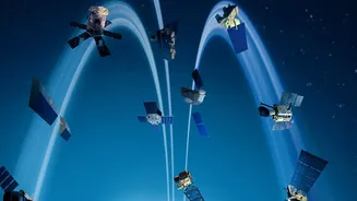
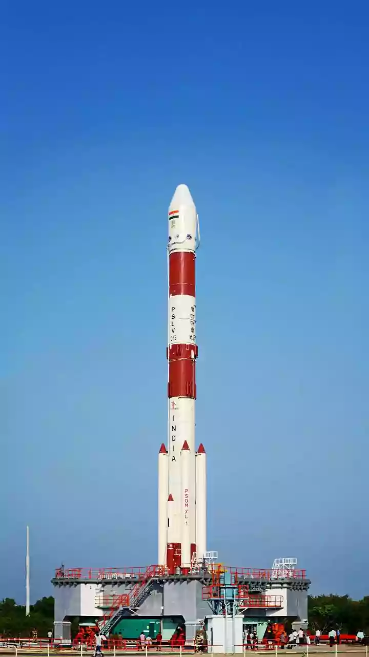
One of the most significant advantages of satellite monitoring is its role in prediction. Before a flood even occurs, satellites provide critical data for early warning systems. They monitor key indicators like river levels, soil moisture content, and snowmelt rates. This information is fed into advanced hydrological models that can forecast which areas are most at risk of inundation. In India, the Indian Space Research Organisation (ISRO) plays a pivotal role in this process. Through its Disaster Management Support Programme, ISRO uses data from its constellation of satellites, including the INSAT and RISAT series, to provide inputs for flood forecasting. This data is shared with agencies like the National Disaster Management Authority (NDMA) and the Central Water Commission, allowing them to issue timely warnings and prepare for potential evacuations.
During the Crisis: Real-Time Situational Awareness
Once a flood begins, the priority shifts to understanding the situation on the ground in real-time. This is where satellite imagery becomes indispensable for emergency responders. Traditional ground surveys are often slow, dangerous, and impossible in widespread flooding. Satellites, however, can provide a comprehensive overview of the affected region quickly and safely. Near real-time maps showing the extent of the flood are generated, highlighting which villages, roads, and critical infrastructure are inundated. This allows disaster management teams to prioritise rescue efforts, identify safe routes for relief teams, and pinpoint locations where people may be trapped. ISRO regularly produces and disseminates these flood inundation maps to state and national disaster response agencies during flood events.
The Aftermath: Assessing Damage and Guiding Recovery
After the floodwaters recede, the long process of recovery begins. Satellite technology is just as vital in this post-disaster phase. By comparing pre-flood and post-flood imagery, authorities can conduct a rapid and accurate assessment of the damage. This 'change detection' helps quantify the extent of damage to homes, infrastructure like bridges and roads, and agricultural land. This information is crucial for dispatching relief, processing insurance claims, and planning long-term reconstruction efforts. For instance, data can show how many hectares of crops have been destroyed, allowing the government to better target aid for affected farmers. This data-driven approach ensures that resources are allocated more efficiently and effectively to the areas that need them most.
A Collaborative Global Effort
While national agencies like ISRO are at the forefront, flood management is also a global collaborative effort. Through initiatives like the International Charter 'Space and Major Disasters', space agencies from around the world pool their satellite resources to provide data freely during major emergencies. When a massive disaster strikes, a member country can activate the charter to get access to a virtual constellation of satellites, ensuring continuous and comprehensive coverage. This international cooperation provides disaster managers with an even richer stream of data, enhancing their ability to respond. ISRO is a key member of this charter and has both contributed data and used it to manage disasters within India.