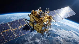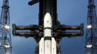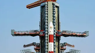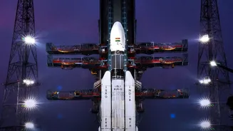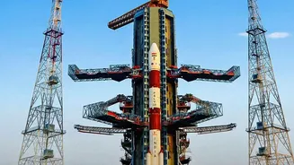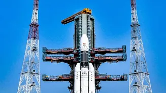




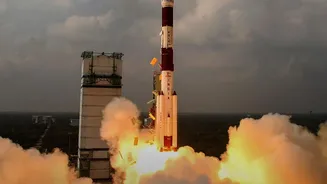

The Indian Space Research Organisation (ISRO) is set to launch the NVS-03, a next-generation navigation satellite. This is more than just another launch; it represents a critical step in revitalizing India’s homegrown navigation system, NavIC.
Understanding NavIC: India's Own GPS
Navigation
with Indian Constellation, or NavIC, is India's autonomous regional satellite navigation system. Think of it as India's answer to the American Global Positioning System (GPS), but with a regional focus. Its primary service area covers the Indian mainland and a region extending about 1,500 kilometres beyond its borders. The system was born out of a crucial strategic need realised during the 1999 Kargil War, when access to foreign-controlled GPS data was denied. This highlighted the risk of relying on other nations for critical positioning and timing information, especially during conflicts. In response, India approved the project, then called the Indian Regional Navigation Satellite System (IRNSS), in 2006 to ensure sovereign control over its navigation capabilities. NavIC provides two types of services: a Standard Positioning Service (SPS) for all civilian users and an encrypted Restricted Service (RS) for authorised users like the military.
A Constellation in Need of an Upgrade
The original NavIC constellation, built from first-generation IRNSS satellites launched between 2013 and 2018, has faced significant challenges. Several of these satellites were crippled by the failure of their imported rubidium atomic clocks, which are essential for providing precise timing data needed to calculate a user's location. Even a tiny error in timing can lead to a major error in positioning. With some satellites also reaching the end of their 10-year operational lives, the constellation's strength dwindled. At times, the number of fully functional satellites dropped below the minimum of four required to provide standalone positioning services, forcing India to rely on its timing services while the core location function was hampered. This situation created an urgent need to replenish and upgrade the system, leading to the development of the second-generation NVS series of satellites.
Enter NVS-03: A Generational Leap
The NVS-03 is the third satellite in the new NVS series, designed to be more robust and feature-rich than its predecessors. A key upgrade is the inclusion of an indigenously developed rubidium atomic clock. After issues with imported clocks plagued the first generation, the Space Applications Centre in Ahmedabad developed a homegrown alternative, a significant step towards self-reliance in a critical technology. The NVS series also introduces a new L1 frequency band for civilian signals, in addition to the existing L5 and S bands. The L1 band is one of the most commonly used frequencies in global navigation systems like GPS. This makes NavIC more interoperable with other systems and, crucially, will make it easier for manufacturers to integrate NavIC compatibility into consumer devices like smartphones and wearables. With a planned mission life of 12 years, these new satellites are built for longer service.
The Impact On Ground and Sky
The renewal of the NavIC constellation with satellites like NVS-03 is crucial for both civilian and strategic applications. For the military, a fully functional, sovereign navigation system provides operational independence and security, enabling precise targeting and troop movements without fear of foreign interference. For civilians, a robust NavIC opens up a world of possibilities. It can enhance vehicle tracking, fleet management, and maritime navigation, providing more accurate services in areas where GPS signals might be weak, such as dense forests or urban canyons. It's also vital for disaster management and for providing safety alerts to fishermen. The addition of the L1 band promises to accelerate the adoption of NavIC in the mass market, potentially making 'India's GPS' a common feature in the devices we use every day. The successful launch of NVS-03 restores the minimum number of satellites needed for positioning, bringing the system back to full operational status.