




A New Eye in the Sky
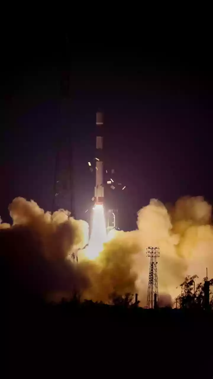
NISAR is a state-of-the-art Earth observation satellite, born from a powerful partnership between the U.S. space agency, NASA, and the Indian Space Research Organisation (ISRO). Launched in July 2025 and declared fully operational in early 2026, it represents
one of the most sophisticated and expensive Earth-imaging satellites ever built. Its primary mission is to track changes on our planet's surface with incredible precision. Orbiting Earth from pole to pole, NISAR scans nearly the entire globe every 12 days, creating a steady stream of data about our land, ice sheets, and ecosystems. For India, this provides a powerful new tool to monitor its vast and vital natural resources.
The Power of Dual Radar
What makes NISAR so special is its use of two different types of radar: the L-band, provided by NASA, and the S-band, developed by ISRO. This is the first time a satellite has used dual frequencies in this way. Think of it like having two different kinds of vision. The shorter S-band waves are excellent for observing lighter vegetation and soil moisture, while the longer L-band waves can penetrate dense forest canopies and even see the ground beneath. This unique capability allows NISAR to work day or night, regardless of cloud cover, which often blinds traditional optical satellites, especially during monsoon season. It can measure changes in the Earth's surface down to a single centimetre.
Focus on India's Green Lungs
India's forests are crucial for the country's biodiversity, water security, and efforts to combat climate change. However, they face constant threats from deforestation, degradation, and forest fires. Understanding the true health and scale of these forests has been a major challenge. NISAR's technology is a game-changer in this regard. By scanning every 12 days, it can provide a near-real-time inventory of India's forest cover. The L-band radar can measure "woody biomass," which is the total mass of trees in an area, giving a clear picture of forest density and health. This allows scientists to not only map the forests but also quantify their carbon storage capacity, a critical metric for climate science.
From Data to Actionable Insights
The massive amount of data NISAR generates—up to 80 terabytes a day—is about more than just creating maps. For India, it provides actionable intelligence for a range of critical applications. Forest managers can use the data to detect illegal logging or encroachment in remote areas. Scientists can monitor soil moisture to predict agricultural yields or assess drought conditions. Disaster management teams can get rapid, clear data on landslides, floods, and coastal erosion, even through heavy rain and clouds. For instance, by seeing through the forest canopy, NISAR can identify waterlogged ground, helping to monitor and protect crucial wetland ecosystems like the Sundarbans. This data, which ISRO began releasing in July 2026, helps turn observation into informed decision-making.
A Landmark Global Partnership
The NISAR mission is a testament to the strong and growing space collaboration between India and the United States. For years, the two space agencies worked together, with NASA providing its L-band radar and other advanced systems, and ISRO contributing the S-band radar, the spacecraft itself, and the powerful GSLV rocket for the launch. The free and open data policy of the mission means that scientists, policymakers, and the public all over the world will benefit from its findings. For India, co-owning and operating the most advanced radar imaging satellite in orbit is a significant milestone, solidifying its position as a major global player in space technology and Earth science.