




An Eye That Pierces Through Clouds
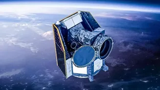
During a flood, the very weather that causes the disaster—thick clouds and heavy rain—can blind traditional monitoring methods. This is where satellite technology, particularly Synthetic Aperture Radar (SAR), becomes a game-changer. Unlike optical satellites
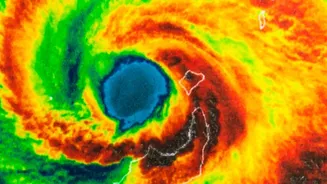
that need clear skies and daylight, SAR sends out its own radar pulses. These signals can penetrate cloud cover and darkness, bouncing back to create a detailed picture of the ground below. Water reflects these radar signals differently than land, creating a stark, high-contrast map that clearly shows the extent of inundation. This 'radar vision' allows authorities to see exactly where the water is, a critical first step in any effective response.
From Prediction to Preparedness
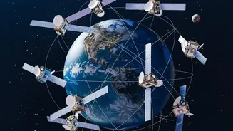
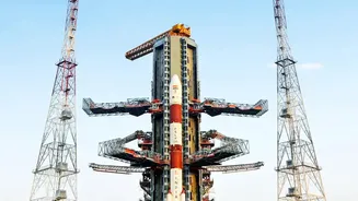
The value of satellite data begins long before a flood occurs. By continuously monitoring environmental factors like river levels, soil moisture, and snowmelt, satellites help create sophisticated predictive models. This data allows authorities to identify areas most at risk of flooding and issue timely early warnings to communities. In India, organisations like the Indian Space Research Organisation (ISRO) play a pivotal role, using a constellation of satellites to monitor conditions and support disaster management efforts nationwide. Data from ISRO's satellites, accessible through portals like Bhuvan and MOSDAC, helps create hazard maps that guide long-term planning, such as where to build flood defences or improve drainage systems.
Guiding Rescuers in Real Time
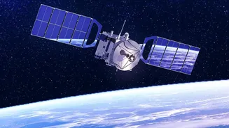
When disaster strikes, the most critical element is time. 'Timely' satellite data means getting accurate information to first responders when it can make the most difference. Near real-time flood maps, generated within hours of a satellite pass, are invaluable for emergency crews. These maps show which roads are impassable, which bridges are washed out, and which neighbourhoods are hardest hit. This allows rescue teams to plan safe and efficient routes to reach stranded people. Furthermore, satellite communications ensure that response teams can stay connected and coordinate their efforts, even when terrestrial networks like mobile towers and internet lines are down.
Assessing the Aftermath for Faster Recovery
Once the immediate danger has passed, the long road to recovery begins. Here too, satellites provide an indispensable service. By comparing images taken before and after the flood, officials can quickly conduct large-scale damage assessments without relying solely on slow and often hazardous ground surveys. These assessments are crucial for governments and aid agencies to understand the scope of the disaster and prioritize the allocation of resources, from food and shelter to medical supplies. This data also helps in verifying insurance claims and planning reconstruction efforts, ensuring that communities can get back on their feet more quickly and build back in a more resilient way.
A Collaborative Global Effort
While national agencies like ISRO are at the forefront, disaster response is a global effort. International frameworks like the International Charter 'Space and Major Disasters' ensure that when a country is hit by a catastrophe, space agencies from around the world can pool their satellite resources to provide comprehensive data. India, through ISRO, is an active participant and has previously taken a lead role in coordinating these efforts, providing hundreds of data sets for global disasters. This spirit of collaboration, combined with the growing capabilities of commercial satellite providers, ensures that more data is available more quickly than ever before, turning satellite imagery into one of our most powerful tools for mitigating the impact of natural disasters.