




For the Daily Commuter: Master the Monsoon
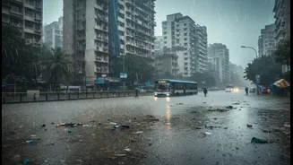
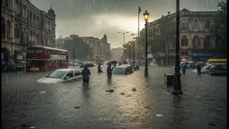
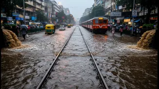
Surviving the monsoon commute is a strategic exercise. Before stepping out, technology is your best ally. Apps like the BMC’s Disaster Management portal, m-Indicator, and Sachet provide crucial real-time updates on waterlogging, traffic diversions, and train
schedules. Satellite-based weather apps like Windy offer predictive radar maps, helping you see heavy rain spells before they hit your area. Having a plan B is non-negotiable. Identify alternative routes and modes of transport in advance. Many seasoned commuters pack a ‘monsoon kit’: a change of clothes in a waterproof bag, anti-skid footwear, a sturdy umbrella, and a power bank. Simple preparation, like keeping an extra pair of clothes at the office, can make a huge difference in comfort and health.
For the Renter: How to Choose a Flood-Safe Home
Finding a home in Mumbai is tough; finding one that stays dry is even harder. For prospective renters, due diligence during the house-hunting phase is critical. Don't just inspect the apartment; inspect the neighbourhood. Ask residents and local shopkeepers about the area's history with waterlogging. Check for physical clues like water stains on the ground floor of buildings or signs of recent repairs to lower walls. Inquire specifically with the landlord or broker about the property's flood history and what, if any, mitigation measures are in place. Renters should know that while they are responsible for their belongings, the landlord is typically responsible for building damage. Before signing a lease, understand the elevation of the area. Some parts of the city, like Powai or parts of Andheri West, are known to have better drainage, while areas like Kurla, Sion, and Hindmata are chronic flood spots. Don't rely solely on observations during the dry season, as a safe-looking area in May can be a water-logged trap in July.
Know Your Area: High-Risk and Landslide Zones
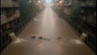
Awareness of designated risk zones is crucial for both renters and commuters. As part of its 2026 monsoon preparedness, the BMC has identified hundreds of flooding spots and dozens of landslide-prone areas across the city. Areas near the Mithi, Dahisar, Poisar, and Oshiwara rivers are particularly vulnerable, as are low-lying regions built on reclaimed land. Satellite analyses consistently show that areas like Vikhroli, Bhandup, Chembur, and parts of the Western suburbs experience recurring waterlogging. Beyond flooding, the risk of landslides in hilly or retaining wall-dependent areas is a serious threat. The BMC and MHADA conduct inspections of these sites, but residents should remain vigilant, especially those living near slopes or in buildings identified as 'dangerous'.
For the Urban Planner: Building a Resilient City
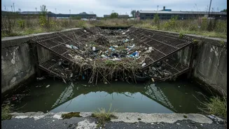
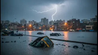
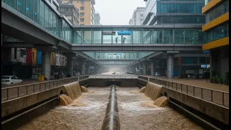
While individual preparedness is vital, long-term solutions lie in systemic change led by urban planners. The core of Mumbai's problem is an outdated drainage system designed for rainfall intensities far lower than the cloudbursts experienced today. Coupled with rampant concretisation and encroachment on natural water bodies like mangroves, lakes, and rivers, the ground has lost its ability to absorb water. The path forward involves a multi-pronged approach. Experts are increasingly advocating for the 'Sponge City' concept, which integrates nature-based solutions like bio-retention parks, permeable pavements, and restored wetlands to absorb and channel rainwater naturally. This complements engineering interventions like upgrading stormwater drains and expanding the capacity of pumping stations. A ₹13,000-crore flood mitigation plan, approved in principle, aims to combine these engineering and ecological strategies.
The Role of Technology and Policy in Urban Design
Technology is becoming a cornerstone of Mumbai's flood management strategy. For the 2026 monsoon, the BMC has deployed IoT-enabled devices on its dewatering pumps to monitor their performance in real-time. The MMRDA is using AI-based systems to monitor metro infrastructure and ensure operational continuity. However, technology alone is not a panacea. Effective urban planning requires robust policy enforcement. The National Disaster Management Authority's guidelines for urban flooding have existed since 2010, but implementation at the municipal level has been the primary challenge. This includes preventing construction on floodplains, clearing illegal encroachments that block drainage channels, and ensuring all new infrastructure projects incorporate resilient designs. Strengthening the mandate and funding of Urban Local Bodies is critical to bridging the gap between planning on paper and preparedness on the ground.