




A Landmark Launch for India
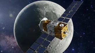
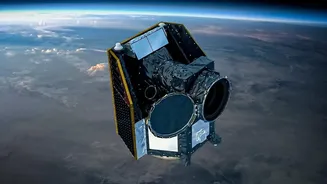
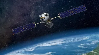
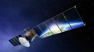
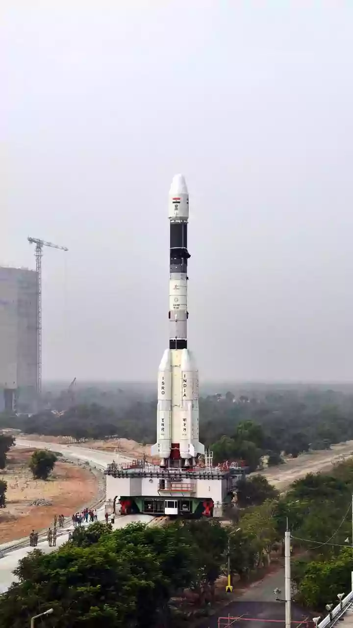
In the early hours of September 4, 2026, the Indian Space Research Organisation (ISRO) successfully launched its advanced Earth observation satellite, EOS-05, into orbit aboard the powerful GSLV-F17 rocket from the Satish Dhawan Space Centre in Sriharikota.
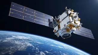
The flawless pre-dawn mission was more than just another launch; it was a moment of national pride and a significant technological leap. Weighing 2,367 kg, EOS-05 is not just another satellite. It is India's first-ever imaging satellite designed to operate from a geosynchronous orbit, a high-altitude perch that gives it unique and powerful capabilities. The launch was a crucial success for ISRO, reaffirming its capabilities after facing setbacks with previous missions, including the loss of a similar satellite, EOS-03, in 2021. This successful deployment marks a triumphant return for the agency and places a vital national asset approximately 36,000 kilometres above the Earth.
The Geosynchronous Advantage
What makes EOS-05 a game-changer is its orbital position. Most Earth observation satellites circle the planet in Low Earth Orbit (LEO), meaning they can only view a specific location when they pass over it, which might happen only once every few days. This creates significant gaps in observation. EOS-05, however, is in a geosynchronous orbit. This means it moves at the same speed as the Earth's rotation, allowing it to remain seemingly stationary over the Indian subcontinent and provide a constant, unblinking stare. Instead of brief snapshots, ISRO now gets something much closer to a continuous live feed. This satellite can capture an image of a select area every five minutes and scan the entire Indian landmass every half hour. This persistent monitoring capability is a paradigm shift, transforming how India can track rapid developments on the ground, from weather patterns to environmental changes.
Revolutionising Harvest Tracking
For India's vast agricultural sector, the capabilities of EOS-05 are transformative. The satellite's hyperspectral and multispectral sensors provide detailed data that will profoundly impact farming. This technology will allow for precise monitoring of crop health, soil moisture levels, and vegetation stress over large areas. Farmers and agricultural agencies can get timely information to optimise the use of water and fertilisers, a practice known as precision agriculture. This not only helps in increasing crop yields but also promotes sustainable farming by reducing waste. Furthermore, the satellite will enhance existing ISRO programmes like FASAL (Forecasting Agricultural Output using Space, Agrometeorology and Land-based observations), which provides crucial crop forecasts. By providing accurate, real-time data on crop cycles and land-use dynamics, EOS-05 will empower farmers, improve food security, and strengthen supply chain management across the nation.
A New Shield Against Natural Disasters
Beyond the farms, EOS-05's most immediate impact will be felt in disaster management. Its ability to provide near real-time imagery of the entire country is invaluable for tracking rapidly evolving natural disasters. When a cyclone forms over the Bay of Bengal or the Arabian Sea, authorities will no longer have to wait for a satellite to pass over for the latest update. EOS-05 can monitor the storm's development continuously, providing critical data for accurate forecasting and timely evacuations. The same applies to other hazards like floods, forest fires, and cloudbursts. The high-frequency imaging allows emergency response teams to assess the scale of a disaster as it unfolds, allocate resources more effectively, and plan relief efforts with greater precision. This 'eye in the sky' acts as a national sentinel, enhancing India's resilience and capacity to protect lives and property from nature's fury.