


The Invisible Climate Threat
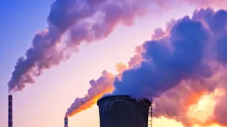
Methane is the main component of natural gas and a powerful climate warmer. Over a 20-year period, it has more than 80 times the warming power of carbon dioxide. For years, a significant portion of methane emissions, particularly from the oil and gas industry,
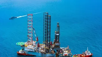
has gone unmeasured. Leaks from pipelines, drilling sites, and processing facilities have been notoriously difficult to track. Traditional monitoring has often relied on infrequent ground inspections or aerial surveys, which can easily miss intermittent or dispersed leaks. This lack of comprehensive data has allowed many major energy companies to operate with limited accountability for their true emissions footprint, which were often far higher than reported estimates.
Seeing the Unseeable: What Is Hyperspectral Imaging?
Think of a standard camera, which sees light in three basic colors: red, green, and blue. Now, imagine a camera that can see hundreds of colors, including wavelengths in the infrared spectrum that are invisible to the human eye. That's the essence of hyperspectral imaging. This technology works by capturing a detailed light spectrum for every single pixel in an image. Because different gases absorb light at unique wavelengths, they each have a distinct spectral “fingerprint.” Methane’s fingerprint is found in the short-wave infrared part of the spectrum. By analyzing the light reflected from the Earth's surface, these advanced sensors can pinpoint the location and even estimate the volume of a methane plume with remarkable precision.
The New Watchers in the Sky
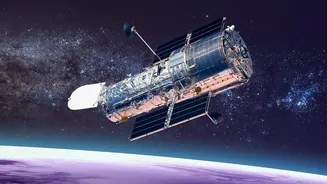
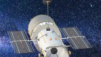
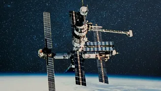
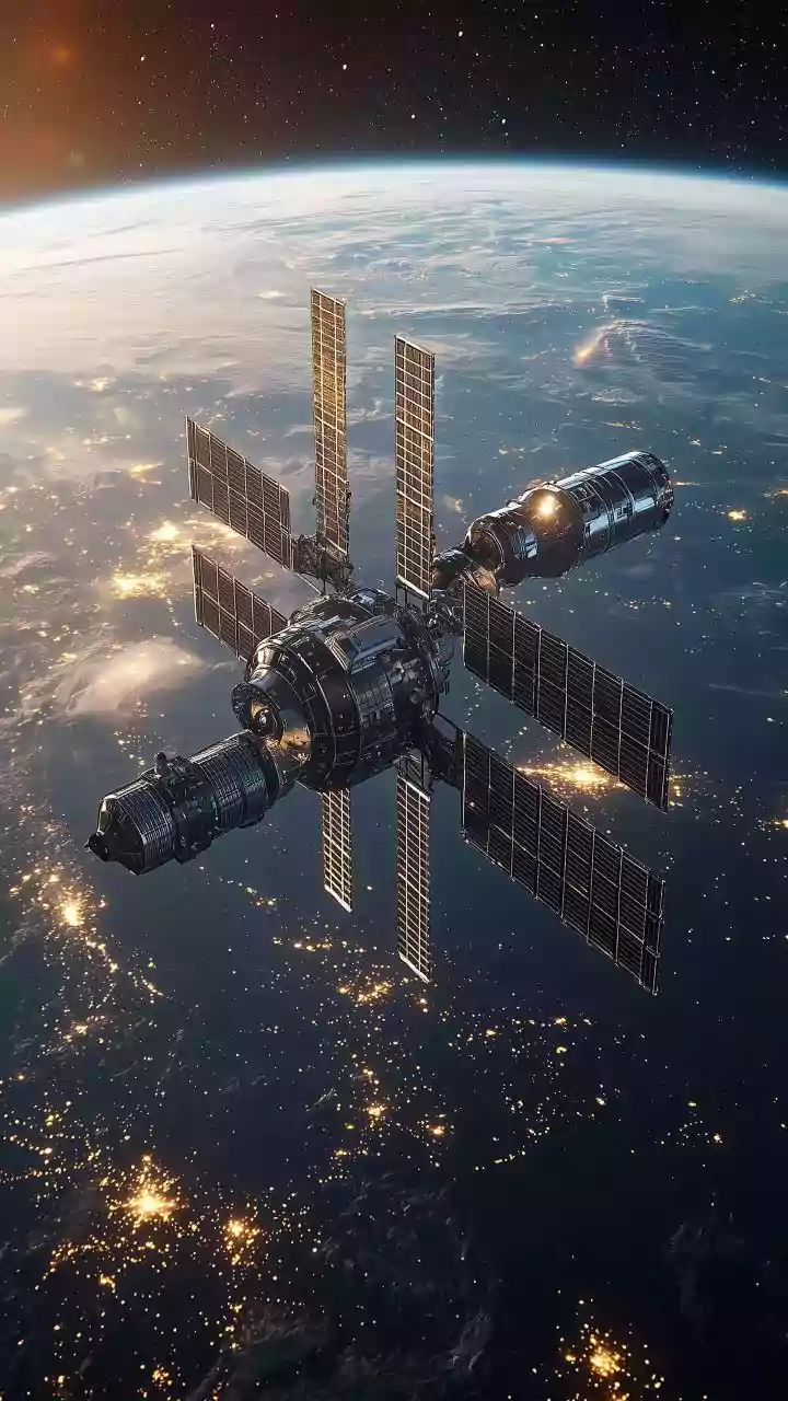
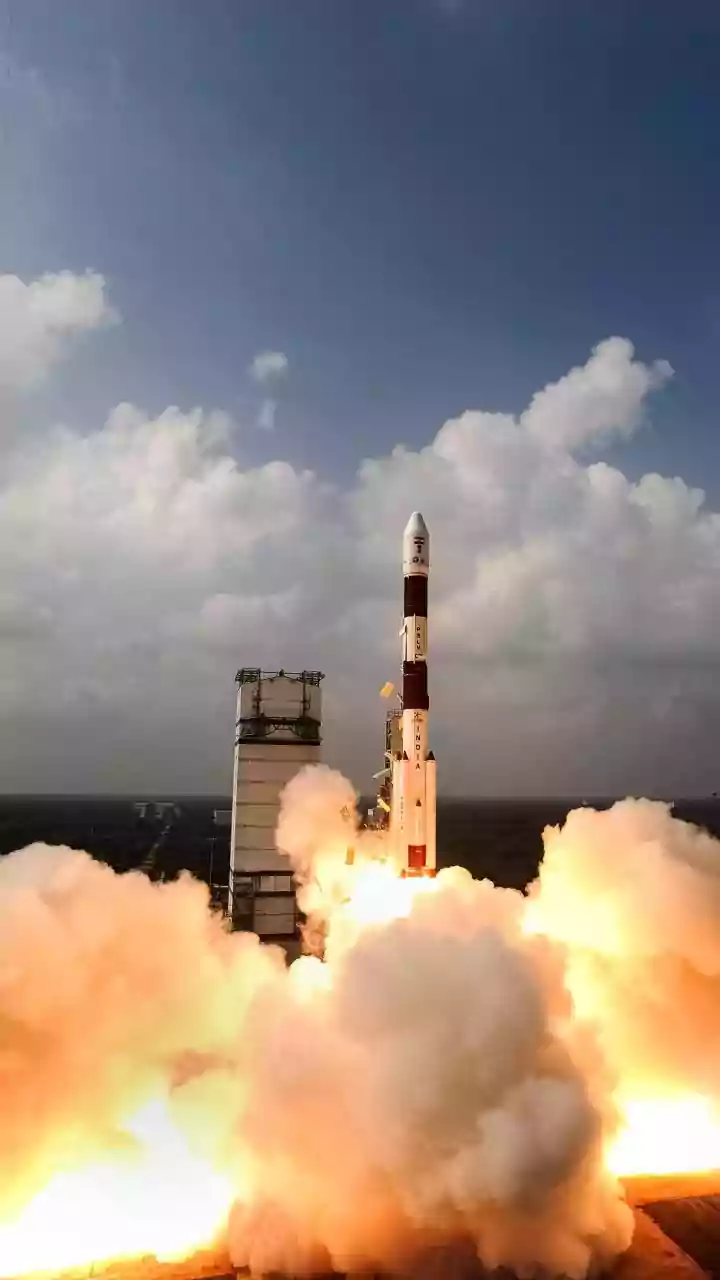
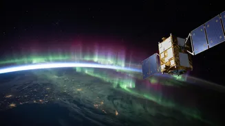
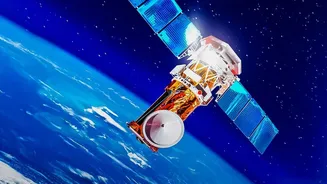
A new wave of satellite missions is deploying this technology on a global scale. Organizations like the nonprofit Carbon Mapper, in a partnership with Planet Labs and NASA's Jet Propulsion Laboratory, have launched satellites like Tanager-1. These systems are designed to detect and quantify methane “super-emitters” at the facility level, providing granular data on major leaks. Another key player is MethaneSAT, an initiative by the Environmental Defense Fund, which orbits the Earth 15 times a day to monitor emissions across the world's major oil and gas production regions. Crucially, the data from these missions is often made publicly available in near-real time, allowing anyone from regulators to researchers and the public to see who is emitting what, and where.
An End to Plausible Deniability
The public and persistent nature of this new satellite data fundamentally changes the game for the energy industry. With frequent and precise monitoring from space, it becomes nearly impossible for companies to claim they were unaware of a significant leak. The satellites create an independent, verifiable record of emissions that stands apart from company self-reporting. While challenges like cloud cover or dense infrastructure can sometimes affect readings, the sheer volume and frequency of the data are creating unprecedented transparency. This shift moves the industry from an era of estimated emissions to one of measured, empirical proof, putting pressure on operators to address leaks swiftly and effectively.
The Business of Accountability
This technological leap has profound business implications. For energy majors, the risk is no longer just regulatory fines. Investors, insurers, and financial institutions now have access to independent data to evaluate a company's environmental risk and performance. Companies with poor emissions records could face higher costs of capital, increased insurance premiums, and pressure from shareholders demanding better environmental stewardship. Proactive firms can leverage this technology to improve their operations, verify their emissions reductions, and gain a competitive advantage in a world increasingly focused on sustainability. The data provides a clear tool to distinguish between industry leaders and laggards on climate action.