






What Exactly Is El Niño?
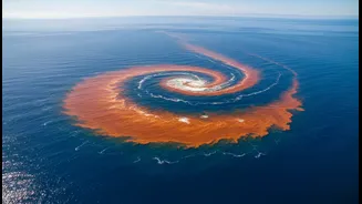
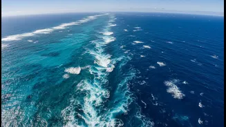
At its heart, El Niño is a simple, if massive, phenomenon: the unusual warming of the sea surface in the central and eastern equatorial Pacific Ocean. Think of the Pacific as a giant tub of water. Normally, strong trade winds blow from east to west, piling
up warm water in the western Pacific near Asia and Australia. This allows cold, nutrient-rich water to rise from the depths along the coast of South America. During an El Niño, which occurs every two to seven years, these trade winds weaken or even reverse. As a result, the pile of warm water 'sloshes' back eastward, spreading across the Pacific. This change in ocean temperature might seem distant, but it sets off a powerful chain reaction in the atmosphere.
The Connection to India's Monsoon
The Indian monsoon is a gigantic sea breeze, driven by the temperature difference between the Indian landmass and the surrounding ocean. This system, however, is deeply connected to larger atmospheric patterns, including the one El Niño disrupts. The warming of the eastern Pacific during an El Niño alters the global atmospheric circulation. Specifically, it tends to create a high-pressure zone and sinking air over the Indian subcontinent and Southeast Asia. This suppresses cloud formation and weakens the moisture-carrying monsoon winds that are vital for rainfall. Historically, a strong link exists: El Niño years are often associated with deficient monsoon rainfall and drought conditions in India.
Why It's Not a Perfect Prediction
While the correlation is strong, it's not a one-to-one guarantee of a bad monsoon. Not every El Niño leads to a drought in India. In fact, some of the strongest El Niño events have been paired with average or even above-average rainfall. For example, the powerful El Niño of 1997-98 did not cause a drought. This variability highlights that the monsoon is a complex system influenced by more than just the Pacific Ocean. Forecasters must look at a host of other factors to build a complete picture.
The Monsoon's Other Influencer: The IOD
One of the most critical of these other factors is the Indian Ocean Dipole (IOD), sometimes called the 'Indian Niño'. The IOD is a climate see-saw in India's own backyard, involving the sea surface temperatures of the western Indian Ocean (Arabian Sea) and the eastern Indian Ocean. It has three phases: positive, negative, and neutral. A 'positive' IOD, where the Arabian Sea is warmer than average, can be a saviour. This warming increases evaporation and moisture supply, strengthening the monsoon winds and pushing more rain towards India. A strong positive IOD can often counteract the negative effects of an El Niño, rescuing the monsoon from a potential deficit.
The Forecaster's Challenge
For agencies like the India Meteorological Department (IMD), issuing a seasonal forecast is a high-stakes balancing act. They use sophisticated models that track sea surface temperatures in the Pacific (for El Niño/La Niña), the Indian Ocean (for the IOD), and other factors like Eurasian snow cover and atmospheric pressure systems. The presence of El Niño is a major red flag, prompting a more cautious outlook. Forecasters then closely monitor the IOD and other regional factors to see if they might offset the threat. El Niño's status is therefore a primary, but not the only, input in determining whether India can expect a season of bounty or scarcity.
Why It Matters to Everyone
The stakes couldn't be higher. The monsoon delivers over 70% of India's annual rainfall, and its performance is directly tied to the nation's economic health. It dictates the fortunes of the agricultural sector, which employs nearly half the population. A good monsoon supports crop yields, boosts rural incomes, replenishes reservoirs for drinking water and hydropower, and keeps food inflation in check. A weak, El Niño-affected monsoon can strain the entire economy. This is why the words 'El Niño' are watched so carefully, turning a distant ocean phenomenon into a crucial matter of national importance.