







A Landmark India-US Partnership
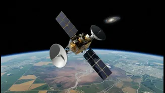
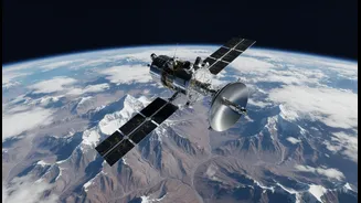
NISAR is a trailblazing collaboration between the Indian Space Research Organisation (ISRO) and the US National Aeronautics and Space Administration (NASA). Launched from India, this sophisticated Earth-observation satellite is one of the most expensive
of its kind, with a total cost of around $1.5 billion. It represents a major milestone in international space cooperation. ISRO provided the launch vehicle, the spacecraft itself, and the S-band radar system, while NASA contributed the L-band radar and other advanced components. This joint effort allows both nations to leverage their strengths for a shared scientific goal.
The Power of All-Weather Radar Vision
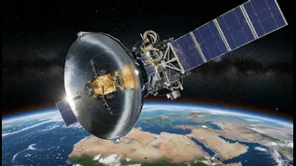
What makes NISAR so special is its advanced radar technology. Unlike optical satellites that are limited by clouds, dust, and darkness, NISAR uses Synthetic Aperture Radar (SAR) to get a clear view of the Earth’s surface, day or night, in any weather. The satellite is the first to use two different radar frequencies (L-band and S-band) simultaneously. This dual-frequency capability allows it to capture an unprecedented level of detail, from the moisture in the soil to tiny shifts in the Earth's crust, measuring changes as small as a centimeter.
A Revolution for Indian Agriculture
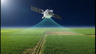
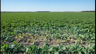
For a nation like India, where agriculture is a cornerstone of the economy, NISAR’s capabilities are transformative. The satellite will systematically map croplands, tracking everything from planting and growth to the eventual harvest. By measuring soil moisture and plant health, the data will help farmers optimise irrigation, improve crop yields, and make informed decisions. For policymakers, this provides precise information on crop acreage and production estimates, crucial for ensuring food security and managing resources effectively. The S-band radar is particularly adept at monitoring agricultural land.
Sharpening Disaster and Hazard Response
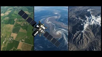
Beyond the fields, NISAR is a powerful guardian against natural hazards. The satellite's ability to detect subtle movements of the Earth's surface provides invaluable data for monitoring and understanding disasters. By creating a time-lapse view of the planet, scanning the entire globe every 12 days, it can spot the precursors to earthquakes, landslides, and volcanic eruptions. This data helps scientists better understand these complex processes and can lead to more effective early warning systems, potentially saving lives and property when disasters strike. It will also track the melting of glaciers and changes in ice sheets, providing critical information for climate change research.
Data for a Sustainable Future
The applications for NISAR's vast stream of data extend even further. Scientists will use it to monitor deforestation, track changes in wetlands, and manage groundwater resources. The mission will also provide data to monitor the health of infrastructure like dams, bridges, and buildings by detecting subtle ground subsidence. Importantly, the data collected by NISAR will be free and openly available to the public and scientific community, ensuring its benefits are widespread. This open access policy aims to spur innovation and new applications that can help manage our planet's resources more sustainably.