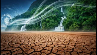









The Pacific's Warm Heartbeat
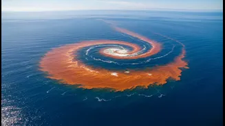
At its core, El Niño is a climate pattern defined by the unusual warming of surface waters in the central and eastern tropical Pacific Ocean. In a normal, or neutral, year, strong trade winds blow from east to west, piling up warm water in the western
Pacific, near Asia and Australia. This allows cooler, nutrient-rich water to rise to the surface along the coast of South America. During an El Niño event, which occurs irregularly every two to seven years, these trade winds weaken. As a result, the pile of warm water in the west sloshes back eastward, spreading across the Pacific and raising sea surface temperatures significantly above average.
An Atmospheric Conveyor Belt Gets Disrupted
This oceanic shift triggers a massive atmospheric response through something called the Walker Circulation. Think of the Walker Circulation as a giant, atmospheric conveyor belt that loops over the equatorial Pacific. Normally, the warm water in the western Pacific heats the air above it, causing it to rise, form clouds, and produce heavy rain. This air then travels eastward at high altitudes, cools, and sinks over the cooler eastern Pacific, creating high pressure and dry conditions before flowing back to the west as surface trade winds. When El Niño moves the warm water eastward, the entire circulation follows. The area of rising, moist air shifts from the western Pacific to the central or eastern Pacific. This shift is the first step in how the phenomenon 'travels' across the globe. This long-distance connection is what scientists call a 'teleconnection'.
The Ripple Effect Reaches India
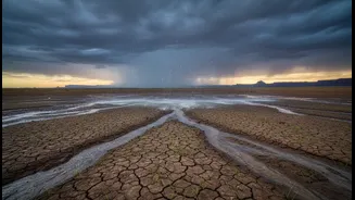
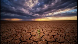
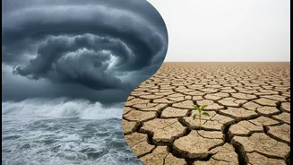
The disruption of the Walker Circulation has a domino effect that extends all the way to the Indian Ocean. The altered air pressure and wind patterns in the Pacific interfere with the systems that drive the Indian summer monsoon. A normal monsoon relies on a strong low-pressure area developing over the heated Indian landmass, which pulls in moisture-laden winds from the high-pressure zone over the relatively cooler Indian Ocean. During an El Niño year, the atmospheric changes can weaken this pressure difference, reducing the 'pull' on the monsoon winds. This often results in suppressed rainfall across the Indian subcontinent. Historically, many of India's most severe droughts have occurred during El Niño years.
A Complicating Factor: The Indian Ocean Dipole
However, El Niño isn't the only actor on stage. The Indian Ocean has its own climate pattern called the Indian Ocean Dipole (IOD), which can either worsen or counteract El Niño's impact. The IOD refers to the temperature difference between the western and eastern parts of the Indian Ocean. In a 'positive' IOD phase, the western Indian Ocean near Africa becomes warmer than the east, which can help bring more moisture towards India and potentially offset some of El Niño's drying effects. Conversely, a 'negative' IOD phase can exacerbate drought conditions. This interaction explains why not every El Niño year results in a disastrous monsoon; the 1997 event, one of the strongest El Niños recorded, saw above-average rainfall in India, partly thanks to a positive IOD.
From Weather Patterns to Economic Realities
For India, a weak monsoon is far more than a weather report; it is a direct threat to the national economy. With about 70% of its annual rainfall delivered by the monsoon, a deficit impacts everything. Agricultural output from rain-fed Kharif crops like rice, soybean, and maize can plummet, threatening food security and farmers' livelihoods. Lower crop yields can stoke food inflation, impacting household budgets across the country. The consequences extend to water availability in reservoirs, which affects drinking water supplies and hydropower generation. While structural changes in the economy have slightly muted the impact in recent years, a severe El Niño-induced drought remains a significant economic shock.