


What Are Crowdsourced Maps?
Forget the static, often outdated commercial maps. Crowdsourced maps are living, breathing digital landscapes built by a community of users. Think of platforms like OpenStreetMap (OSM) as the Wikipedia for geography. Trekkers, locals, and travellers add
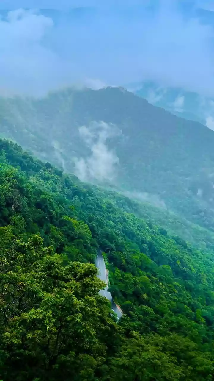
trails, homestays, small shops, and natural landmarks that might never appear on a mainstream map. In a region like Sikkim, where tiny trails and new homestays pop up constantly, these maps are not just an alternative; they are often more detailed and up-to-date for offbeat exploration. They capture the ground reality of a place, mapped by the very people who live and explore there, offering a layer of authenticity that pre-packaged tours can't match.
The Joy of a Different Path
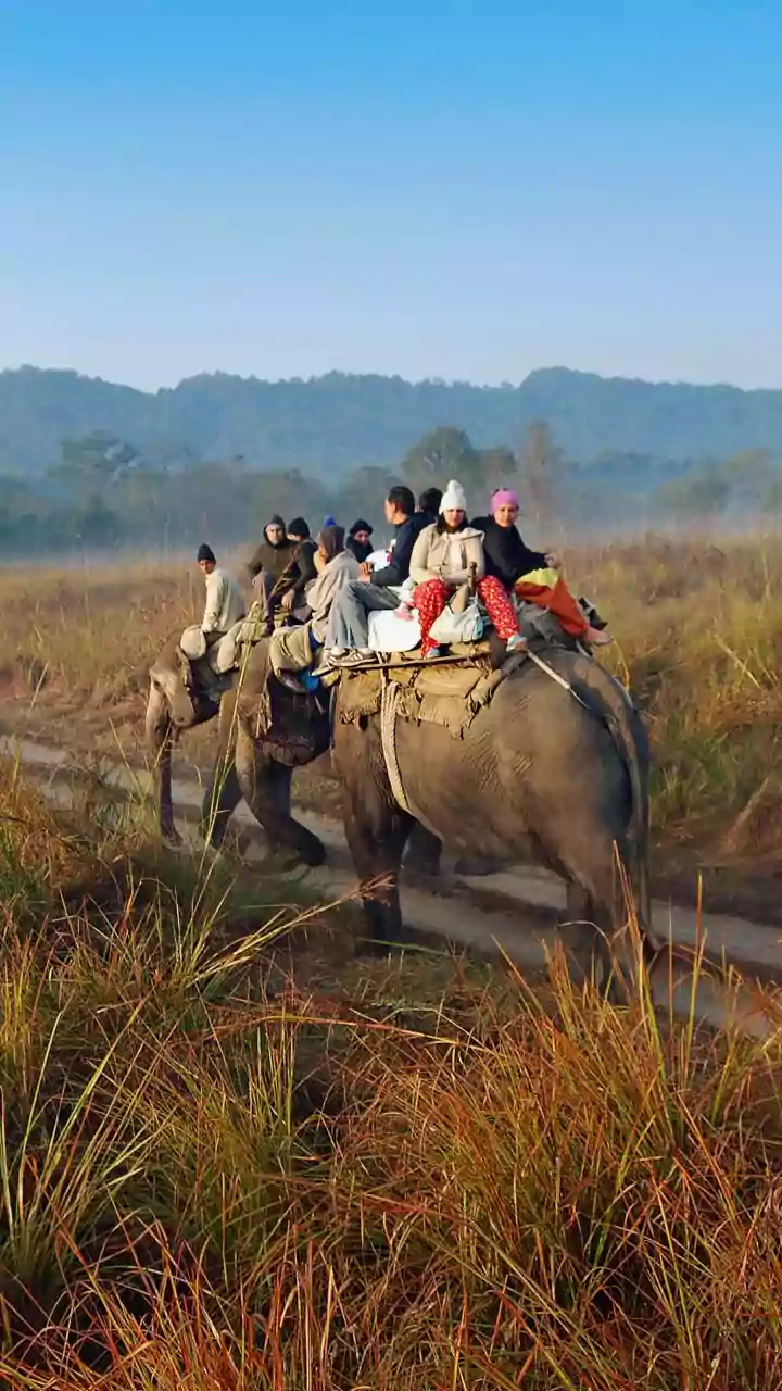
The primary benefit of using these maps is escaping the conventional tourist circuit. While Gangtok, Pelling, and Tsomgo Lake are magnificent, they can also be saturated. Crowdsourced data can point you towards a lesser-known monastery, a breathtaking viewpoint not listed in any blog, or a family-run homestay in a village you've never heard of. This isn't just about discovery; it's about responsible tourism. By venturing into these smaller hamlets, your travel spending directly benefits local families, fostering a more sustainable tourism model that distributes economic benefits beyond the main hubs. You get a more genuine cultural exchange, and the community gets a stake in preserving their unique environment and way of life.
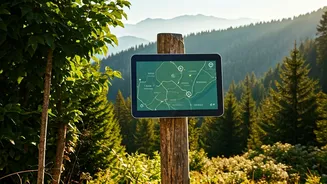
Your Digital Toolkit for Sikkim
Getting started is simpler than you think. The cornerstone is an app that uses OpenStreetMap data. 'Organic Maps' and 'OsmAnd' are two excellent, user-friendly choices available for both Android and iOS. The most crucial step is to download the map for the Sikkim region *before* you leave your hotel or a place with good Wi-Fi. Mobile connectivity in the mountains is notoriously unreliable. Once downloaded, these maps work entirely offline using your phone's GPS. You can search for villages, see trekking paths, and navigate with confidence, even with zero mobile signal. Spend some time exploring the map digitally before you set out. Look for clusters of homestays or points of interest along the riverbanks to plan a rough itinerary.
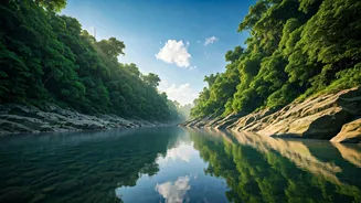
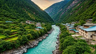
Spotlight: Riverside Hamlets to Find
So where should you point your digital compass? Focus on the veins of Sikkim: its rivers. Along the mighty Teesta River and its tributaries, you'll find gems. In North Sikkim, beyond the usual stops of Lachen and Lachung, the Dzongu Valley is a protected Lepcha reserve with incredible homestays nestled in villages like Tingvong and Passingdang. In West Sikkim, areas around the Rangeet River near Legship hide tranquil spots. Look for villages downstream from major towns—they often retain a more traditional character. Even near popular areas like Yuksom, the starting point for major treks, a crowdsourced map might reveal a quieter path to a nearby riverside village that most trekkers miss.
A Note on Digital and Human Guidance
While these maps are powerful, they are not infallible. A crowdsourced map is only as good as its latest contributors. A trail marked as 'easy' could have been washed out in the last monsoon. Therefore, technology should be your guide, not your guru. Use the maps to identify potential destinations and get your bearings, but always supplement digital knowledge with human wisdom. Before starting a trek or heading to a remote village, talk to your homestay owner, a local guide, or a shopkeeper. Ask about current path conditions, weather, and local customs. The best and safest exploration combines the power of modern mapping with the timeless value of local knowledge.