



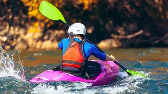
The Monsoon Transformation
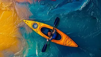
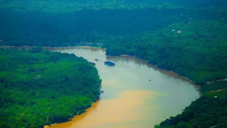
During the monsoon, Meghalaya’s rivers, such as the Umngot and Kynshi, change dramatically. What might be a placid, clear stream in winter becomes a raging, high-volume torrent of brown water. This isn't just more water; it's a fundamental change in the river's
character. The sheer volume of rainfall, some of the highest on Earth, funnels into narrow gorges, creating powerful, fast-moving currents that can be deceptive. The gradient of the Khasi Hills contributes to rapid drops, forming Class IV and V rapids that attract international paddlers. This transformation means that experience on other rivers doesn't always translate. The monsoon-fed rivers of Meghalaya are a unique environment where water levels can rise exponentially without warning, demanding a specific skill set focused on big-water dynamics.
Decoding Karst River Behaviour
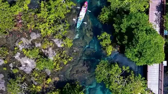
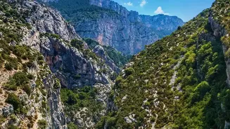
Much of Meghalaya’s stunning landscape is 'karst' topography, formed by the dissolution of soluble rocks like limestone. This geology creates a hazardous and unpredictable underground plumbing system. For kayakers, this means dangers that aren't always visible on the surface. Karst systems are known for creating features like sinkholes, disappearing streams, and underground channels. Water can vanish into a subterranean passage (a 'siphon') and re-emerge elsewhere, or not at all. These siphons are one of the greatest dangers in whitewater kayaking, acting as inescapable traps. Unlike solid bedrock rivers, karst geology means the water doesn't just flow over the rocks; it flows through them. Identifying these hazards requires expert knowledge, as the water entering a siphon often shows little surface turbulence, masking the danger below.
Reading the River's Surface
To navigate safely, you must learn to read the river's language. Key features provide clues about what is happening beneath the surface. A 'Downstream V,' or tongue, typically points to the deepest, safest channel through rapids. Conversely, an 'Upstream V' indicates a submerged obstacle like a boulder, and you should steer clear of its point. Eddies—calmer areas behind rocks or on the inside of river bends—are your best friends. They are safe zones to rest, scout ahead, or regroup. The 'eddy line,' the turbulent seam between the main current and the calm eddy, must be crossed with purpose. Other features to watch for are 'strainers'—downed trees or logs that allow water to pass through but will trap a person or boat—and 'undercut rocks,' where the current flows under the rock face, creating another pinning hazard. Understanding these signs is a critical, real-time survival skill.
The Unseen Danger: Flash Floods
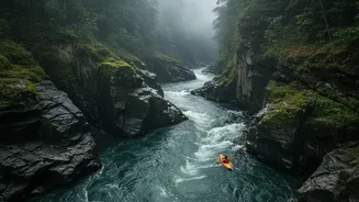
In Meghalaya's canyons, the most significant threat can come from miles away. Heavy rainfall in the upper catchment area can send a sudden, massive pulse of water downstream, creating a flash flood. You could be paddling under clear skies while a storm far upstream sends a life-threatening surge your way. These floods are particularly dangerous in narrow canyons where escape routes are limited or non-existent. Water levels can rise in minutes, turning a manageable rapid into an inescapable torrent. This is why local knowledge is paramount. Local guides possess an intimate understanding of weather patterns and how specific catchments react to rain. Never underestimate the sky, even when it’s not directly overhead. Always have an evacuation plan and know the signs of rising water levels.
Your Most Essential Gear Is Knowledge
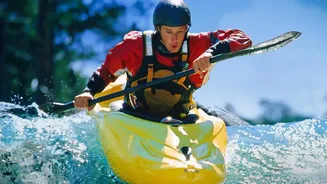
While a helmet, personal flotation device (PFD), and a throw bag are non-negotiable pieces of equipment, they are useless without sound judgment. The most important part of your kit is a deep understanding of hydrology and a healthy respect for the river's power. The best way to acquire this knowledge is by paddling with experienced local guides. They understand the nuances of each river, know the locations of notorious siphons and undercuts, and can read the subtle signs of changing conditions. Many adventure outfits in Meghalaya are run by local Khasi and Jaintia youth who have grown up alongside these rivers. Before launching, ensure you have reliable information on water levels, weather forecasts for the entire catchment area, and a solid rescue plan. If in doubt, always portage (carry your boat around the hazard) or choose not to go at all.