


An Active Tectonic Collision Zone
Nepal sits directly on the boundary where the Indian tectonic plate collides with the Eurasian plate. The Indian plate is continuously pushing northward, sliding under the Eurasian plate at a rate of about 40-50 mm per year. This immense geological pressure
builds up over time and is released in the form of powerful earthquakes, making the entire region highly seismically active.
Steep and Fragile Topography
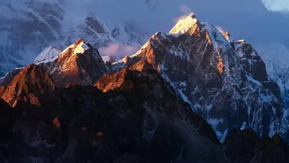
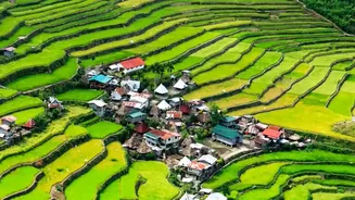
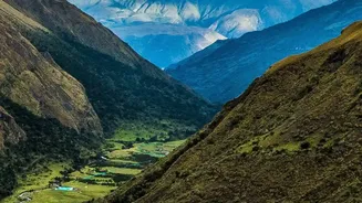
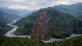
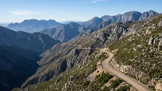
Approximately 83% of Nepal's landmass is mountainous. This rugged and steep terrain is inherently unstable, making it highly susceptible to landslides. Intense rainfall or seismic tremors can easily trigger devastating slides of rock, soil, and debris, which pose a constant threat to communities, roads, and infrastructure built on or below these slopes.
The 'Young' Himalayas
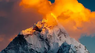
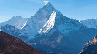
Geologically speaking, the Himalayas are a young mountain range, which means they are still growing and have not yet settled. This ongoing uplift contributes to their fragility. The mountains are composed of fractured and weathered rock, which is more easily eroded and destabilized, contributing to the frequency and severity of landslides and related disasters.
Intense Monsoon Rainfall
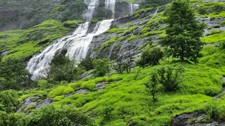
Nepal receives about 80% of its annual precipitation during the summer monsoon season, from June to September. This concentrated, heavy rainfall saturates the ground, dramatically increasing the risk of both flash floods and landslides. Small rivers can swell instantly, and unstable hillsides, weakened by water, can give way without warning.
Glacial Lake Outburst Floods (GLOFs)
As global temperatures rise, glaciers in the Himalayas are melting at an accelerated rate. This meltwater forms large, unstable lakes dammed by loose rock and debris known as moraines. If these natural dams are breached by an earthquake, avalanche, or simply the pressure of the rising water, it can trigger a Glacial Lake Outburst Flood (GLOF), releasing a catastrophic wall of water, ice, and rock downstream.
Cascading Hazard Chains
In Nepal, disasters rarely happen in isolation. An earthquake can trigger landslides, which in turn can dam rivers. When these temporary dams fail, they cause devastating downstream floods, creating a complex and deadly chain of events known as a cascading hazard. This phenomenon makes disasters incredibly difficult to predict and manage.
Widespread River Systems
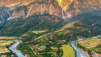
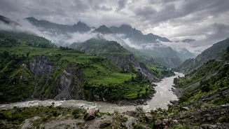
Nepal is crisscrossed by more than 6,000 rivers and streams flowing south from the Himalayas. While vital for life, these river systems are also major conduits for disaster. During the monsoon or a GLOF event, they can quickly transform into raging torrents, causing widespread flooding, riverbank erosion, and inundation, especially in the flat southern Terai plains.
Soil Liquefaction Risk
The Kathmandu Valley, a densely populated basin, is filled with soft, water-saturated lake sediments. During an earthquake, the intense shaking can cause this soil to lose its strength and behave like a liquid—a process called liquefaction. This can cause buildings, roads, and other critical infrastructure to sink, tilt, or collapse entirely.
Deforestation and Land Degradation
Pressure for firewood, grazing land, and agriculture has led to significant deforestation in Nepal's hills. The loss of tree cover, whose roots help bind the soil, exacerbates soil erosion and increases surface runoff. This not only reduces agricultural productivity but also makes slopes more vulnerable to landslides during heavy rains.
The Force Multiplier of Climate Change
Climate change acts as a powerful amplifier for many of Nepal's existing vulnerabilities. It is making monsoon rainfall more erratic and intense, accelerating glacial melt which increases GLOF risks, and altering weather patterns in unpredictable ways. While not creating the hazards, climate change is making them more frequent, severe, and dangerous.