





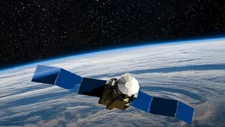

An Advanced Eye in the Sky
The Indian Space Research Organisation (ISRO) has long been at the forefront of using space technology for societal benefit, and the Earth Observation Satellite (EOS) series is a prime example of this commitment. Today, India operates one of the world's
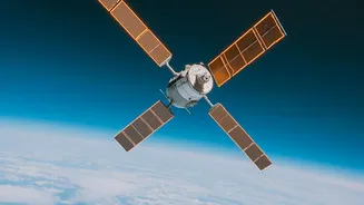
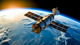
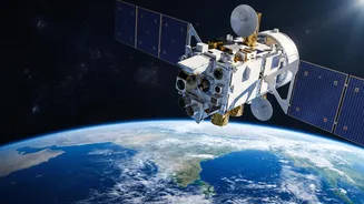
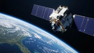
largest constellations of remote sensing satellites. The upcoming EOS-05 is the latest addition to this family, designed specifically to provide critical data for disaster management and meteorological applications. Think of it as a highly sophisticated camera orbiting the Earth, equipped with sensors that can see far more than the human eye. These satellites are pivotal in providing near real-time information to various government departments before, during, and after major natural disasters, forming a crucial part of the nation's response mechanism.
What Makes EOS-05 Different?
What sets EOS-05 apart is its placement in a geosynchronous orbit (GEO), approximately 36,000 kilometres above the Earth. Unlike its predecessors in Low Earth Orbit (LEO) that pass over a location periodically, a satellite in GEO remains seemingly fixed over the Indian subcontinent. This allows for continuous, real-time monitoring of a vast area, a game-changer for tracking rapidly developing events like cyclones. Previous satellites provided snapshots; EOS-05 will provide a constant watch. It is equipped with advanced imaging payloads, including infrared sensors, allowing it to see through clouds and even operate at night. This 'all-weather, day-and-night' capability is crucial, as disasters don't wait for clear skies. This ability to provide uninterrupted data streams to agencies like the India Meteorological Department (IMD) is a significant leap forward.
From Data to Lifesaving Action
Having powerful technology in space is only half the battle; the real impact comes from how that data is used on the ground. ISRO works in close coordination with nodal agencies like the National Disaster Management Authority (NDMA) and the IMD. When EOS-05 captures data—be it the wind speed of a brewing cyclone or the moisture content in the soil—it is quickly processed and relayed to these agencies. They, in turn, use this information to issue timely and accurate warnings. For instance, more precise cyclone track and intensity predictions allow authorities to plan targeted evacuations, saving countless lives in vulnerable coastal areas. Similarly, real-time flood mapping helps direct rescue teams to the worst-affected areas, while drought monitoring can lead to early intervention for farmers.
A Shield Against Nature's Fury
India's geography makes it particularly vulnerable to a wide range of natural disasters, from cyclones on its long coastlines to floods in its river basins and landslides in the Himalayas. Satellites like EOS-05 act as a crucial first line of defence. For cyclones, the continuous monitoring offered by a geosynchronous satellite means forecasters can track a storm's development from its very inception, providing more lead time for preparedness. For floods, satellite imagery can identify inundated areas with remarkable precision, helping to manage relief and rescue operations effectively. The satellite's advanced sensors can also assess vegetation health over large agricultural belts, providing critical data for drought assessment and management long before a crisis fully unfolds. It's a proactive approach, moving from just response to early warning and mitigation.
Beyond Disasters: A Multipurpose Asset
While disaster management is a primary objective, the capabilities of EOS-05 extend to numerous other national applications. The data it generates is invaluable for urban planning, monitoring forest fires, and assessing environmental changes like the retreat of Himalayan glaciers. It will also aid in agricultural management by providing insights into crop health, yields, and water resource availability across the country. By tracking changes in land use, monitoring water quality in our rivers and reservoirs, and even observing air pollution, EOS-05 will serve as a comprehensive tool for national development. This versatility ensures that the investment in space technology delivers wide-ranging benefits to the Indian economy and its citizens.