



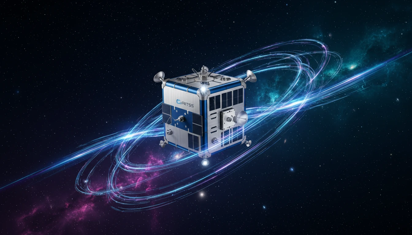




Meet GRITSS: The Ultimate Reference Point
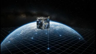
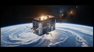
On July 7, 2026, a small satellite launched into orbit with a very big job. Named GRITSS, which stands for Geodetic Reference Instrument Transponder for Small Satellites, the mission isn’t about discovering new galaxies but about perfecting our understanding
of our own planet. Think of the Earth as having a vast, invisible grid used for all location-based measurements, known as the International Terrestrial Reference Frame (ITRF). This grid is the foundation for everything from your smartphone's GPS to how scientists track melting ice sheets. The problem is, this grid is built by combining data from three different, independent systems: the satellite-based Global Navigation Satellite System (GNSS), the ground-based Satellite Laser Ranging (SLR), and the radio telescope-based Very Long Baseline Interferometry (VLBI). Combining their data introduces tiny but significant errors, often at the millimeter level. GRITSS is designed to solve this. It acts as a single, unified reference point in space that can be seen by all three systems simultaneously, aiming to create a perfectly synchronized and ultra-precise global grid.
The Technology of Millimeter Accuracy
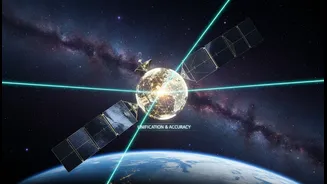
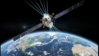
The innovation behind GRITSS lies in its ability to act as a universal translator for these geodetic systems. The CubeSat carries a modified GPS receiver that captures standard navigation signals. Onboard processors then instantly convert, or "upconvert," these signals into S-band and X-band frequencies that the enormous radio telescopes of the VLBI network can detect and track. In essence, GRITSS allows a radio telescope on the ground to "listen" to a GPS signal by using the satellite as a go-between. At the same time, the satellite is also equipped with a simple but effective laser retroreflector array—basically a sophisticated mirror—that allows the SLR network to bounce laser beams off it to measure its precise distance. By serving as a common target for all three networks, the mission aims to eliminate the tiny discrepancies that have limited the accuracy of the ITRF. The engineering challenge is immense; to ensure its measurements are stable, the satellite's internal temperature must be controlled to within a single degree Celsius as it swings between the heat of the sun and the cold of Earth's shadow.
Why This Obsession with Precision?
Achieving one-millimeter accuracy in our global grid might sound like an academic exercise, but it has profound real-world implications. A more accurate ITRF is critical for tracking the subtle, millimeter-scale changes that define the health of our planet. This includes monitoring global sea-level rise, the melting of ice sheets in Greenland and Antarctica, the movement of tectonic plates, and even changes in global water resources. With better foundational data, scientists can build more reliable climate models and better understand complex environmental cycles like El Niño. This level of precision provides a stable baseline for the next generation of Earth-observing topography missions, which will map everything from freshwater distribution in river basins to the shifting sands of deserts. Beyond climate science, this enhanced accuracy benefits society through more robust navigation systems for autonomous vehicles and the foundational data needed for advanced geospatial technologies.
A Global Effort with Local Relevance
While GRITSS is a NASA-led technology demonstration, developed in collaboration with the University of Massachusetts Lowell and Dutch manufacturer ISISPACE, its impact is truly global. A more precise understanding of the planet benefits all nations, and it resonates with India's own strategic goals in space and technology. India’s National Geospatial Policy 2022, for example, aims to establish the country as a world leader in the sector, driven by the principle of self-reliance, or 'Atmanirbhar Bharat'. A stable and accurate global reference frame is a fundamental public good that empowers all nations' scientific and developmental ambitions. It enhances the value of a country's own remote sensing and navigation satellite constellations by providing a more reliable foundation to build upon. As this small satellite begins its work, it represents a global shift toward smarter, more focused science where perfecting the fundamentals can unlock the next wave of major discoveries.