






A Global Treasure Under Pressure
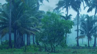
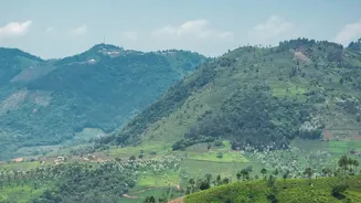
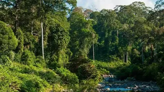
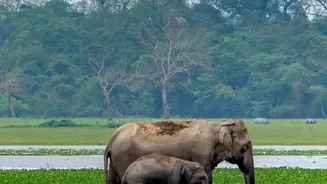
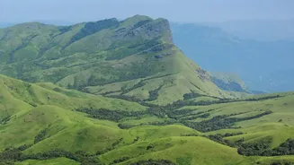
Older than the Himalayas, the Western Ghats are a 1,600 km long mountain chain running parallel to India's west coast, traversing six states. This UNESCO World Heritage site is one of the world's eight 'hottest hotspots' of biological diversity, influencing
India's monsoon patterns and birthing major rivers like the Godavari, Krishna, and Cauvery. These mountains are not just a wilderness; they are home to around 50 million people and support agriculture, plantations, and tourism. However, this delicate ecosystem is under immense pressure from human activity, making it prone to landslides and other climate-related disasters, as seen in recent years in Kerala.
A Decade of Debate: Gadgil vs. Kasturirangan
For over a decade, India has debated how to best protect the Ghats. The conversation has been dominated by two key reports. The first, by the Western Ghats Ecology Expert Panel (WGEEP) led by Madhav Gadgil, recommended declaring the entire region an Ecologically Sensitive Area (ESA), with tiered restrictions. This was seen by some as too restrictive and impractical, sparking resistance from states concerned about economic development. A subsequent high-level group, led by K. Kasturirangan, took a different approach. It used satellite data to distinguish between 'natural landscapes' and 'cultural landscapes' (areas with human settlements and agriculture). The Kasturirangan report recommended declaring only 37% of the Ghats as ESA, focusing protection on the most biologically rich areas. This became the basis for a series of draft notifications from the central government.
Kerala's Granular Mapping Approach
The broad, top-down satellite mapping of the Kasturirangan report caused significant local friction, with states and communities arguing that it didn't reflect the reality on the ground. This is where Kerala's recent assessment provides a crucial innovation. Facing protests and concerns over livelihoods, Kerala undertook a more detailed, ground-up mapping process. Using cadastral maps (detailed land and property records), physical surveys, and consultations, the state sought to precisely identify and exclude inhabited areas, plantations, and agricultural lands from the proposed ESA. This granular approach aimed to separate dense forests and critical habitats from areas of human activity, village by village. The Kerala State Remote Sensing and Environment Centre has been central to this effort, creating detailed maps that can be cross-referenced with land records.
From Maps to Strategic Conservation
This detailed mapping is not just about drawing lines; it's about creating a foundation for smarter conservation. By clearly delineating sensitive zones from human-use areas, the assessment helps in several ways. First, it makes conservation politically more viable by addressing the livelihood concerns of local communities, reducing conflict, and building trust. Second, it allows for targeted strategies. Instead of blanket bans, regulations on activities like mining, quarrying, and large-scale construction can be applied precisely where they are needed most. Third, this fine-scale data is invaluable for disaster management, helping to identify areas most vulnerable to landslides and planning interventions accordingly. For example, recent mapping exercises in Kerala have also focused on tracing and reclaiming watercourse networks to mitigate flood and landslide risks.
A Blueprint for the Future?
Following its detailed survey, Kerala recently submitted revised recommendations to the central government, reducing its proposed ESA from 9,993.7 sq km to 8,590.69 sq km by excluding many inhabited areas. For instance, in Ernakulam district, the residential parts of Kuttampuzha village were entirely removed from the proposed ESA, and in Pathanamthitta, the Sabarimala temple complex was excluded. While ecologists may worry that any reduction weakens protection, this approach of combining scientific data with on-the-ground verification offers a pragmatic path forward. It demonstrates a model where conservation doesn't have to be in direct opposition to human settlement. As other states like Karnataka, Goa, and Maharashtra continue to dispute the boundaries of their own ESAs, Kerala's method of micro-level mapping could serve as a crucial blueprint for resolving one of India's most prolonged environmental policy battles.