


A New Eye in the Sky
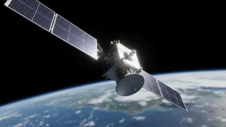
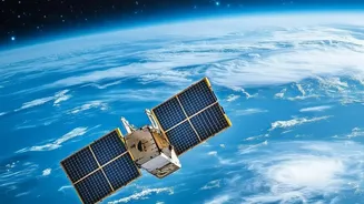
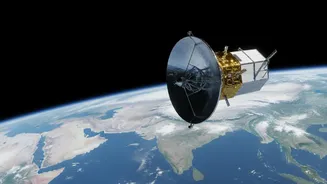
A joint mission between the Indian Space Research Organisation (ISRO) and the US's National Aeronautics and Space Administration (NASA), the NISAR satellite is the most expensive Earth-imaging satellite ever built. Launched in mid-2025, it marks a new
era in Earth observation. The mission's goal is to make detailed and systematic measurements of our planet's changing surfaces, from the icy poles to dense forests and bustling cities. What makes NISAR revolutionary is its collaborative nature and its open data policy; all the information it gathers is set to be freely available to the public, empowering scientists, governments, and citizens alike. Recently, both NASA and ISRO began releasing provisional and processed data to the public, marking a major milestone for the mission.
The Magic of Seeing Through Clouds
Traditional satellites are a lot like the camera on your phone; they capture images using visible light. This means they are useless at night and can't see through clouds, smoke, or heavy rain—a major problem, especially when trying to monitor natural disasters like floods or cyclones. NISAR overcomes this with Synthetic Aperture Radar, or SAR. Instead of passively capturing light, SAR is an active system. It sends out its own microwave signals towards the Earth's surface and then records the 'echoes' that bounce back. These microwaves can easily penetrate clouds, darkness, and smoke, providing a clear view of the ground below, regardless of weather or time of day. By processing these return signals, scientists can build incredibly detailed images that reveal not just the shape of the landscape, but also its texture, moisture content, and even tiny movements.
A Constant Stream of Insight
While SAR technology itself isn't new, NISAR's capabilities are unprecedented. The satellite carries two different radar frequencies: an L-band provided by NASA and an S-band provided by ISRO. This dual-frequency approach allows it to capture a richer variety of information. The L-band can penetrate deeper into vegetation to measure things like forest biomass, while the S-band is excellent for monitoring crop health and soil moisture. The satellite orbits the Earth every 12 days, allowing it to create a consistent, repeating time-lapse of nearly the entire planet. As of July 2026, ISRO began the public release of daily processed S-Band SAR products through its Bhoonidhi portal, meaning a constant flow of data is now available to track changes almost as they happen. This moves us from static snapshots to a dynamic movie of Earth's processes.
What It Means for India
For India, NISAR is a game-changer. The satellite’s all-weather, day-and-night capability is perfectly suited for a nation deeply affected by the monsoon. It can map the extent of flooding in near real-time, helping disaster response teams work more effectively. Its ability to monitor soil moisture and crop health at high resolution is a massive boon for agriculture, supporting food security and enabling more efficient water management. The S-band radar, ISRO's key contribution, is particularly adept at these agricultural applications. Furthermore, NISAR can detect tiny changes in the Earth's surface, making it invaluable for monitoring land subsidence in rapidly growing cities, tracking the health of Himalayan glaciers, and even providing early warnings for landslides. It is a national asset poised to deliver actionable intelligence for everything from farming to urban planning.