





Decoding the Ocean's Secrets
When we think of science, we often imagine laboratories far removed from daily life. Yet, for a country with a coastline stretching over 8,000 kilometres, understanding the ocean is a matter of national priority. This is where 'ocean science' comes in.
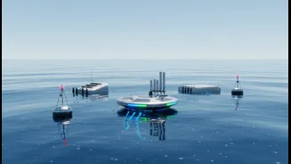
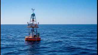
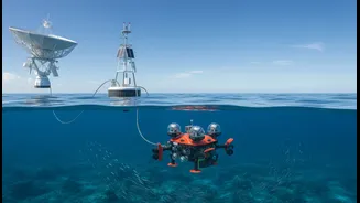
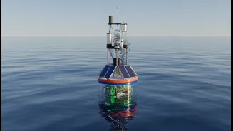
It's a broad field that uses satellites, floating data buoys, and underwater sensors to collect vast amounts of information about the sea. In India, the primary agency for this is the Indian National Centre for Ocean Information Services (INCOIS). This organisation acts as the nation's eyes and ears on the water, monitoring everything from sea surface temperatures and wave heights to currents and microscopic marine life. This data isn't just for academic papers; it’s translated into practical tools that save lives, protect livelihoods, and power our growing blue economy.
Making Every Beach Visit Safer
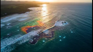
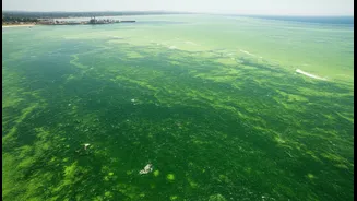
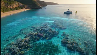
A day at the beach is a cherished pastime, but the ocean's power can be unpredictable. One of the biggest hidden dangers are rip currents—strong, narrow channels of water that can pull even strong swimmers out to sea. For years, these were an invisible threat. Today, INCOIS, in collaboration with ISRO, is developing operational forecasts to alert beachgoers and lifeguards to this danger. Using video surveillance and satellite imagery, they can identify potential rip channels at popular but high-risk beaches, like Rushikonda in Visakhapatnam, which now hosts a warning system. This goes beyond just rip currents. Forecasts for wave heights, storm surges, and even harmful algal blooms—which can make water unsafe for swimming—provide a comprehensive safety net. These early warnings, disseminated through various channels, empower local authorities to close beaches when necessary and allow visitors to make informed decisions, drastically reducing the risk of accidents.
A Smarter Way to Fish
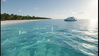
For the nearly seven million people in India who depend on fishing for their livelihood, finding fish has always been a mix of skill, instinct, and luck. Ocean science is changing that equation. One of the most impactful services provided by INCOIS is the Potential Fishing Zone (PFZ) advisory. Using satellite data to track ocean colour (which indicates the presence of phytoplankton, the foundation of the marine food web) and sea surface temperature, scientists can pinpoint areas where fish are likely to aggregate. This information is sent directly to fishermen—often via SMS in their local language—guiding them to productive waters. The result is a win-win: fishermen save enormous amounts of fuel and time they would have otherwise spent searching, making their operations more profitable and less polluting. It also reduces the pressure on overfished coastal areas by guiding boats to more targeted locations.
Sustaining the Catch for Tomorrow
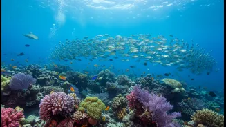
Beyond helping today's fishermen, ocean data is crucial for the long-term health of fisheries. Overfishing is a global problem, and climate change is making it worse by forcing fish stocks to migrate to cooler waters. To manage fisheries sustainably, authorities need to know how many fish are in the sea and where they are. Long-term ocean observation helps scientists build models that predict how fish populations will respond to changing conditions. This data allows for the creation of more effective regulations, such as setting sustainable catch limits and designing Marine Protected Areas (MPAs) that protect critical breeding grounds. By ensuring we don't take more fish than can be replenished, ocean science helps guarantee that this vital source of food and income will be available for generations to come, supporting both ecological balance and economic stability.